MyTopo
Lariat Wyoming US Topo Map
Couldn't load pickup availability
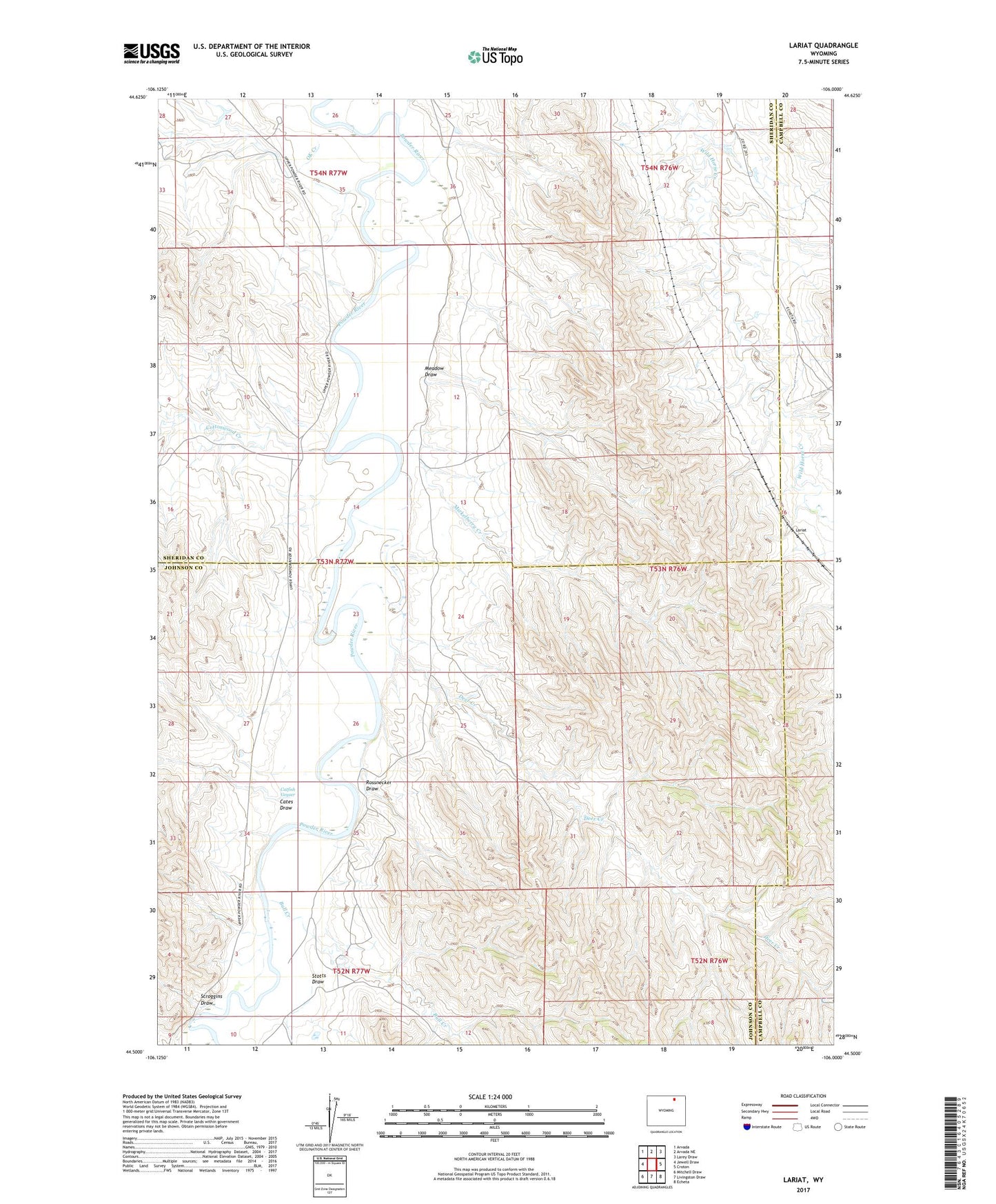
2021 topographic map quadrangle Lariat in the state of Wyoming. Scale: 1:24000. Based on the newly updated USGS 7.5' US Topo map series, this map is in the following counties: Sheridan, Johnson, Campbell. The map contains contour data, water features, and other items you are used to seeing on USGS maps, but also has updated roads and other features. This is the next generation of topographic maps. Printed on high-quality waterproof paper with UV fade-resistant inks.
Quads adjacent to this one:
West: Jewell Draw
Northwest: Arvada
North: Arvada NE
Northeast: Larey Draw
East: Croton
Southeast: Echeta
South: Livingston Draw
Southwest: Mitchell Draw
Contains the following named places: Bull Creek, Cates Draw, Catfish Geyser, Cottonwood Creek, Deer Creek, Lariat, Meadow Draw, Mickelberry Creek, OK Creek, Rossnecker Draw, Scroggins Draw, Stotts Draw, ZIP Code: 82831