MyTopo
Larey Draw Wyoming US Topo Map
Couldn't load pickup availability
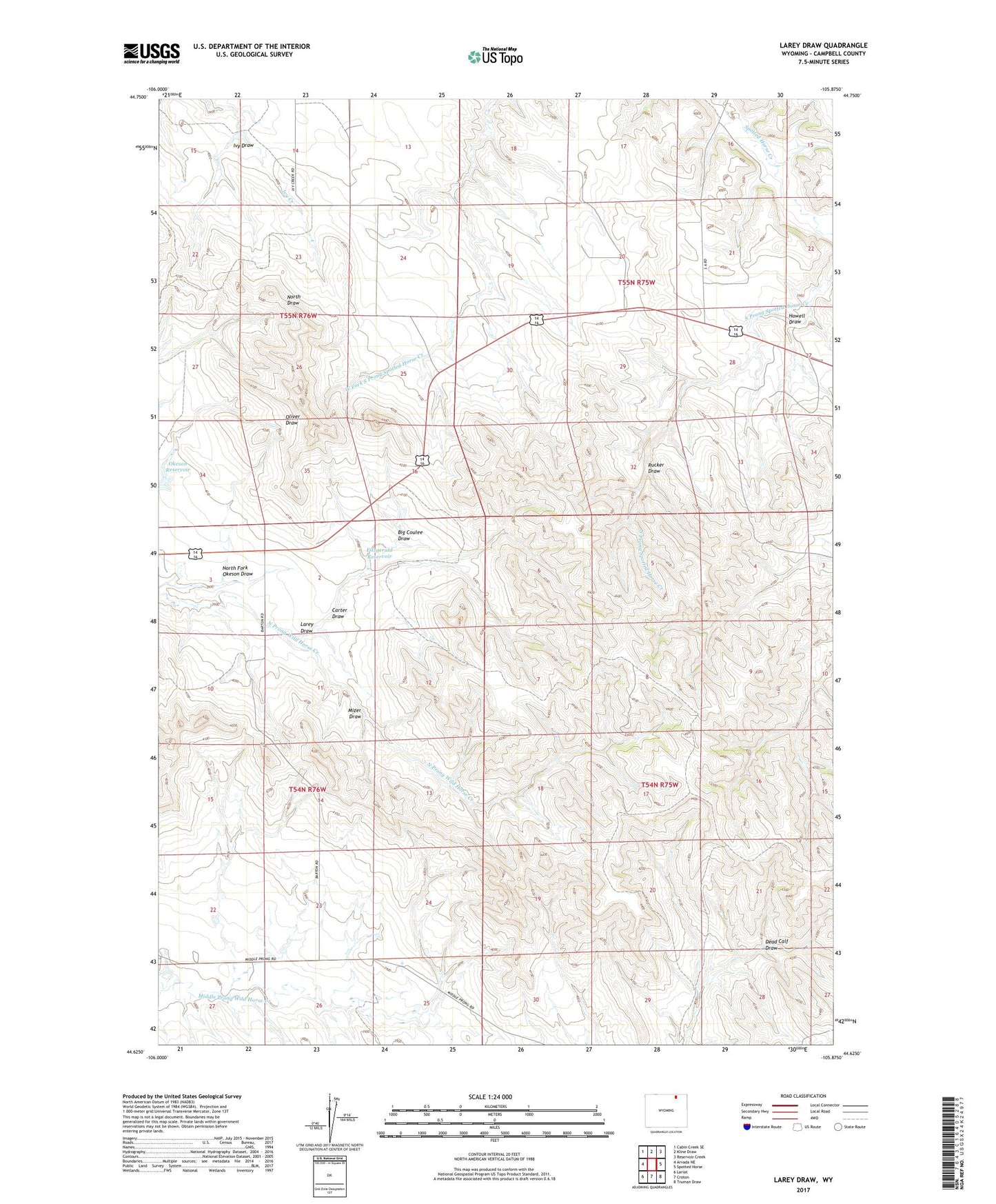
2021 topographic map quadrangle Larey Draw in the state of Wyoming. Scale: 1:24000. Based on the newly updated USGS 7.5' US Topo map series, this map is in the following counties: Campbell. The map contains contour data, water features, and other items you are used to seeing on USGS maps, but also has updated roads and other features. This is the next generation of topographic maps. Printed on high-quality waterproof paper with UV fade-resistant inks.
Quads adjacent to this one:
West: Arvada NE
Northwest: Cabin Creek SE
North: Kline Draw
Northeast: Reservoir Creek
East: Spotted Horse
Southeast: Truman Draw
South: Croton
Southwest: Lariat
This map covers the same area as the classic USGS quad with code o44105f8.
Contains the following named places: Big Coulee Draw, Carter Draw, Dead Calf Draw, Fitzgerald Dam, Fitzgerald Reservoir, Howell Draw, Ivy Draw, Larey Draw, Mizer Draw, North Fork Okeson Draw, Okeson Reservoir, Suranyi Dam, West Fork South Prong Spotted Horse Creek