MyTopo
Lysite SE Wyoming US Topo Map
Couldn't load pickup availability
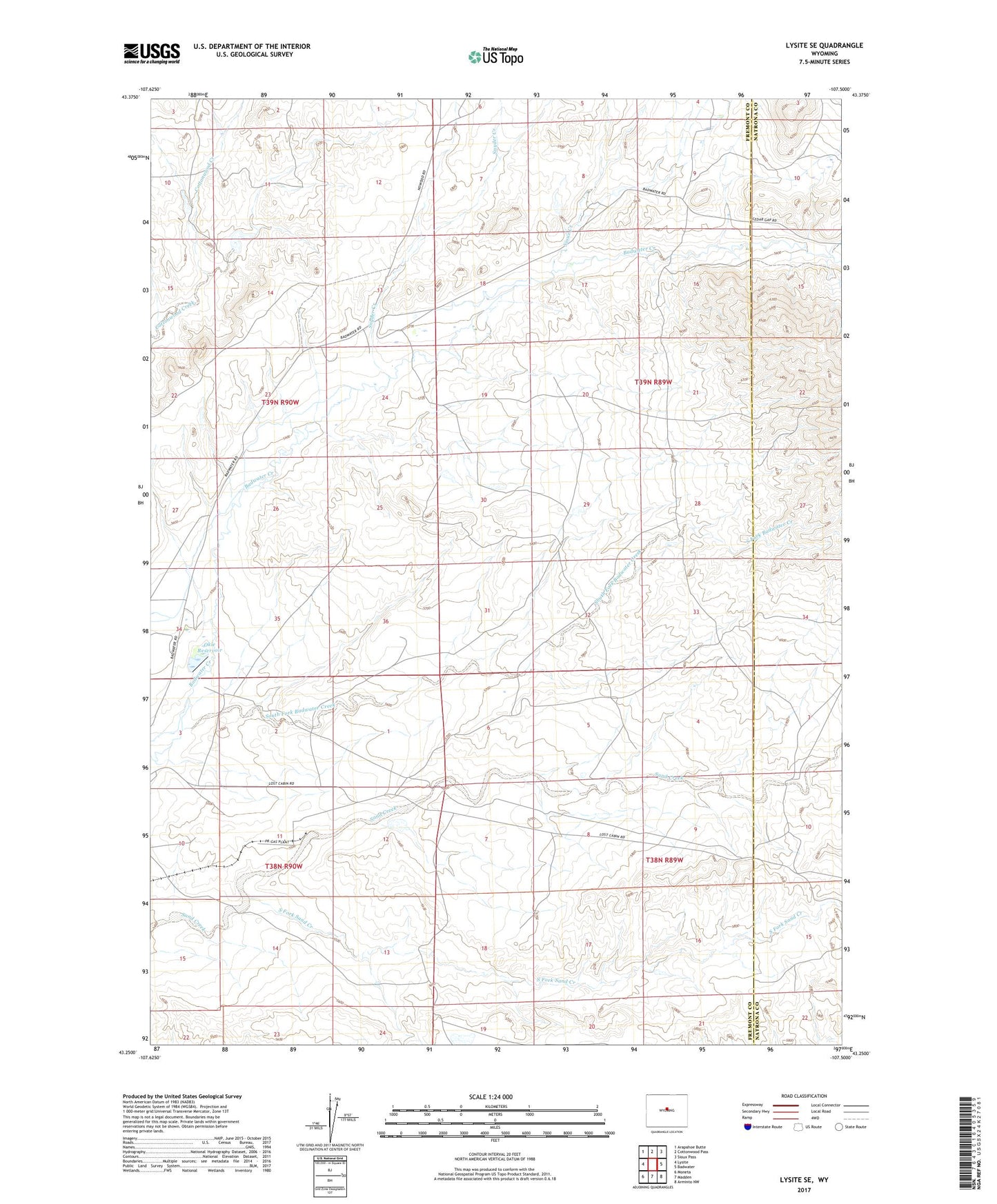
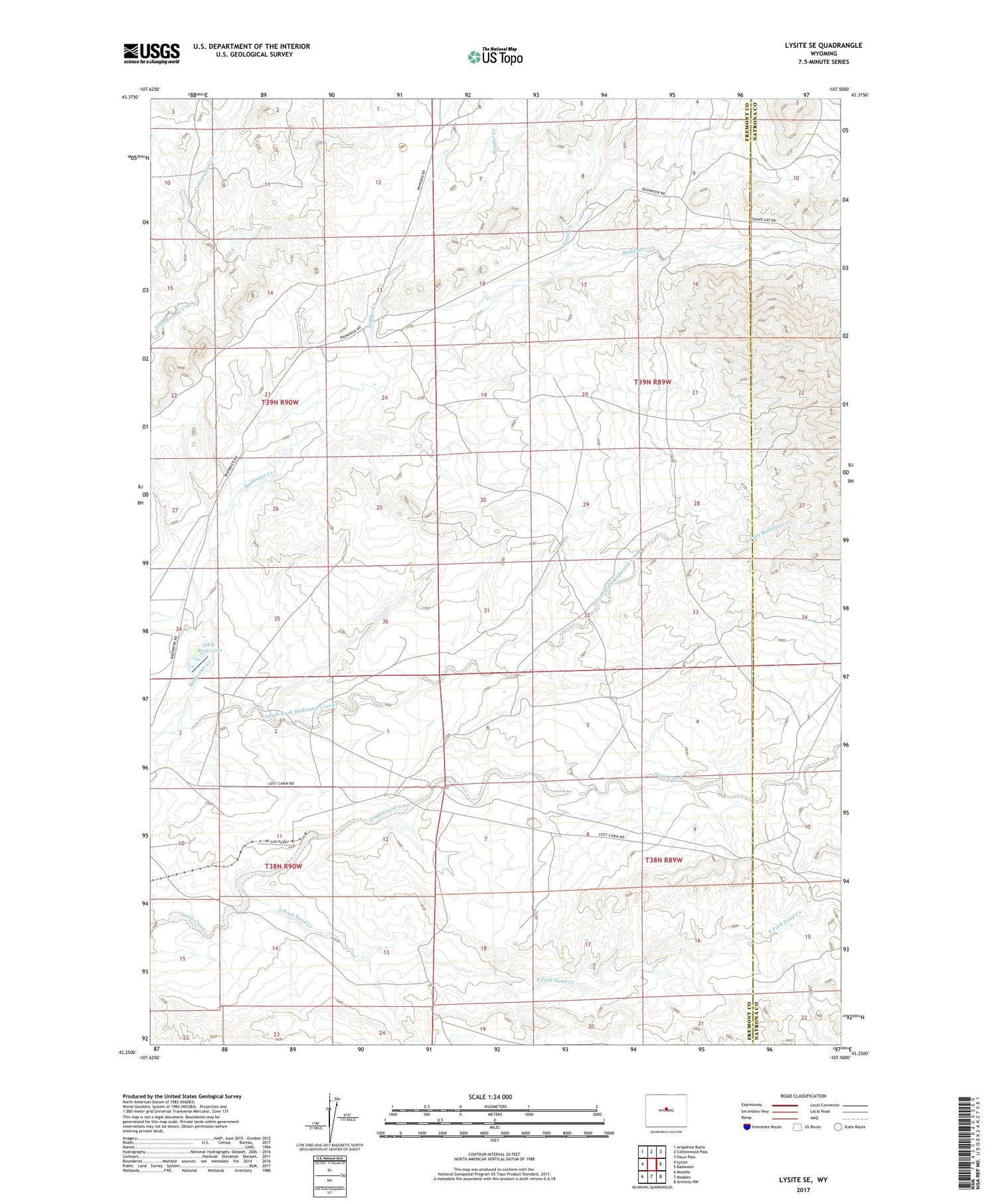
2021 topographic map quadrangle Lysite SE in the state of Wyoming. Scale: 1:24000. Based on the newly updated USGS 7.5' US Topo map series, this map is in the following counties: Fremont, Natrona. The map contains contour data, water features, and other items you are used to seeing on USGS maps, but also has updated roads and other features. This is the next generation of topographic maps. Printed on high-quality waterproof paper with UV fade-resistant inks.
Quads adjacent to this one:
West: Lysite
Northwest: Arapahoe Butte
North: Cottonwood Pass
Northeast: Sioux Pass
East: Badwater
Southeast: Arminto NW
South: Madden
Southwest: Moneta
Contains the following named places: Allen Ranch, Bauer Ranch, Gas Hills Mine, Lybyer Ranch, Okie Dam, Okie Reservoir, Sioux Creek, Snyder Creek, Snyder Creek Detention Dam, Snyder Creek Reservoir, South Fork Badwater Creek, South Fork Sand Creek