MyTopo
Mitchell Draw Wyoming US Topo Map
Couldn't load pickup availability
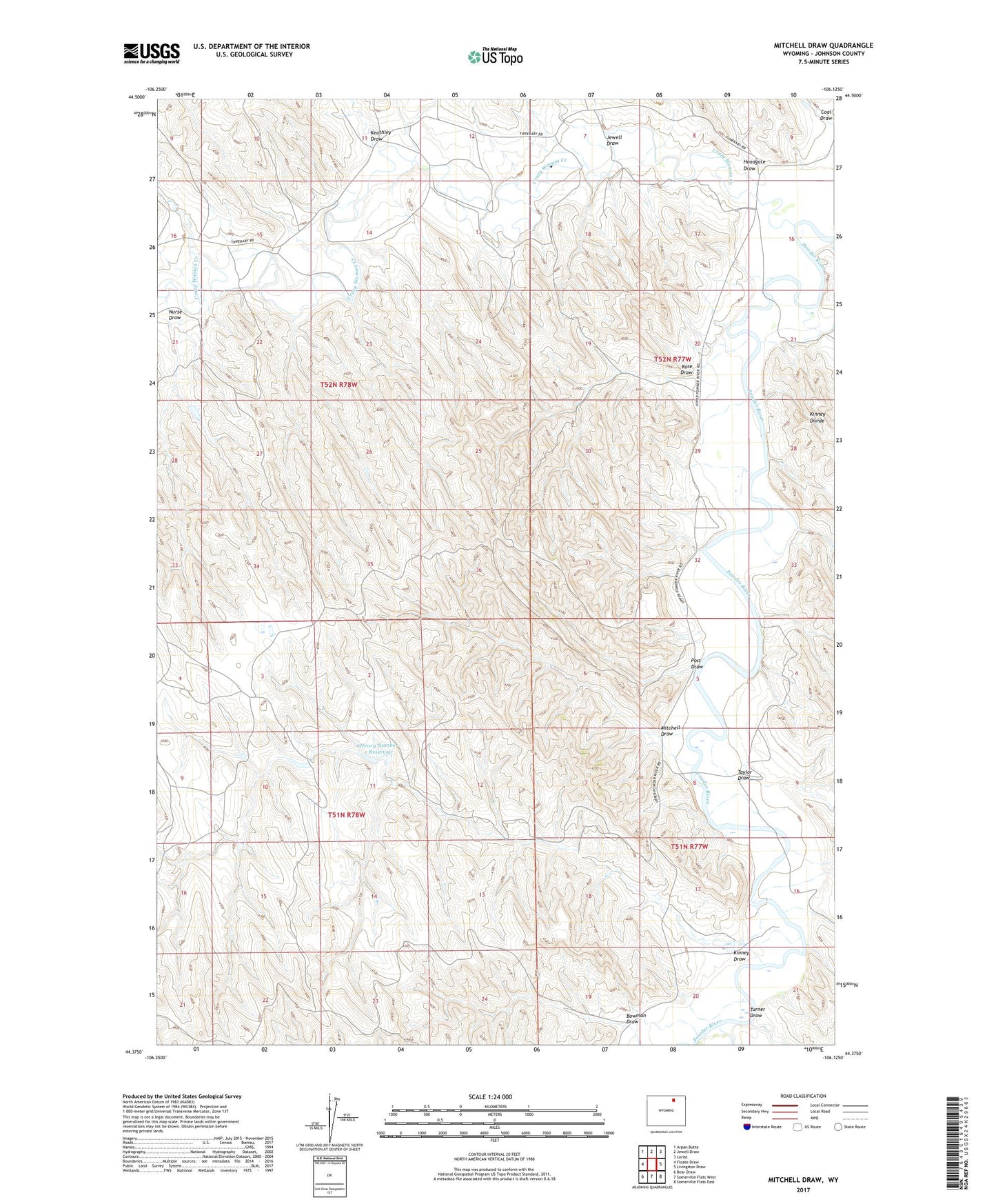
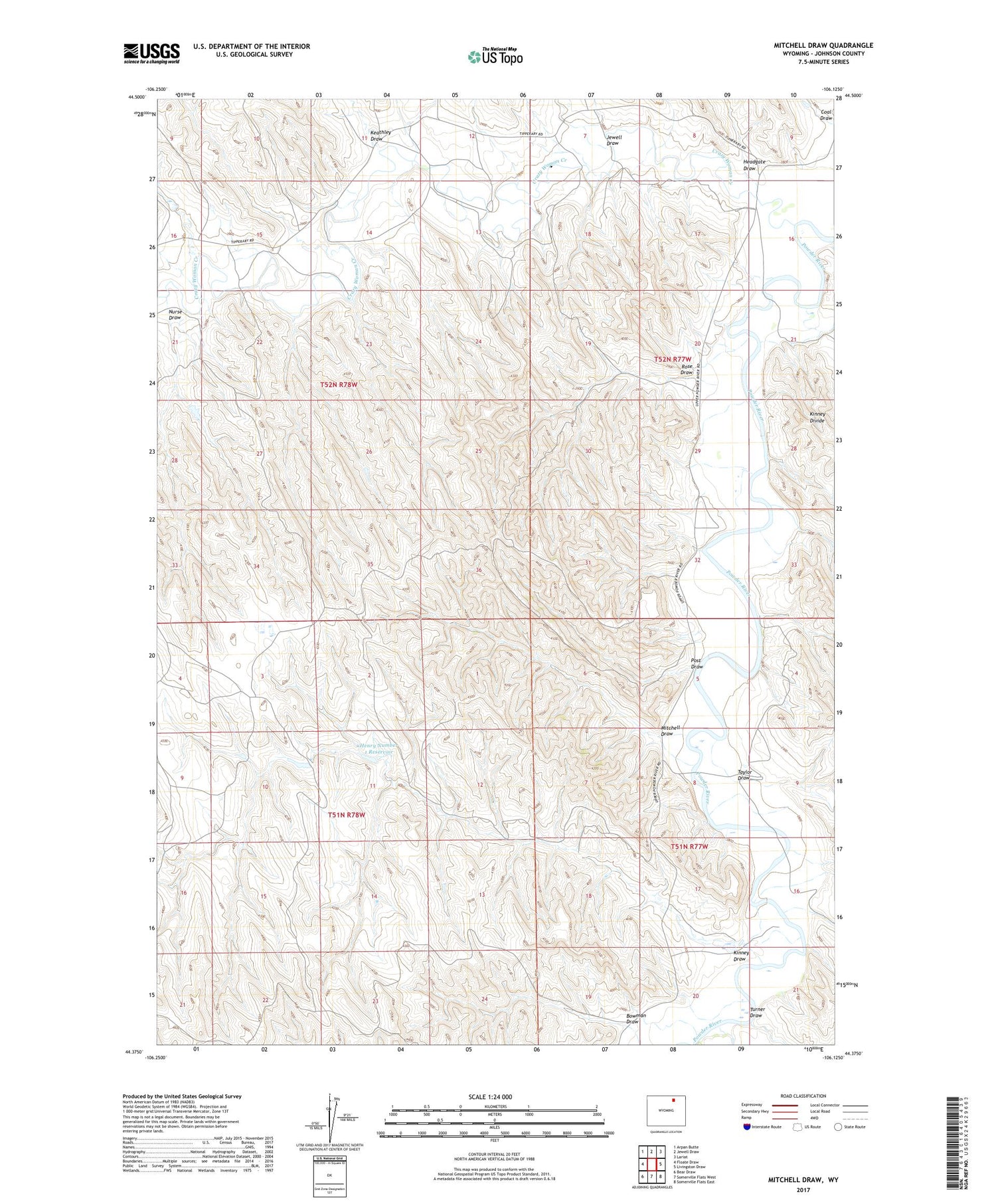
2021 topographic map quadrangle Mitchell Draw in the state of Wyoming. Scale: 1:24000. Based on the newly updated USGS 7.5' US Topo map series, this map is in the following counties: Johnson. The map contains contour data, water features, and other items you are used to seeing on USGS maps, but also has updated roads and other features. This is the next generation of topographic maps. Printed on high-quality waterproof paper with UV fade-resistant inks.
Quads adjacent to this one:
West: Floate Draw
Northwest: Arpan Butte
North: Jewell Draw
Northeast: Lariat
East: Livingston Draw
Southeast: Somerville Flats East
South: Somerville Flats West
Southwest: Bear Draw
Contains the following named places: Bowman Draw, Crazy Woman Creek, Fortification Creek, Headgate Draw, Henry Number 1 Dam, Henry Number 1 Reservoir, Jewell Draw, John Dam, John Reservoir, Keathley Draw, Kinney Draw, Mitchell Draw, Mitchell Draw Dam, Mitchell Draw Reservoir, Nurse Draw, Post Draw, Rose Draw, Taylor Draw, Turner Draw