MyTopo
Oriva Wyoming US Topo Map
Couldn't load pickup availability
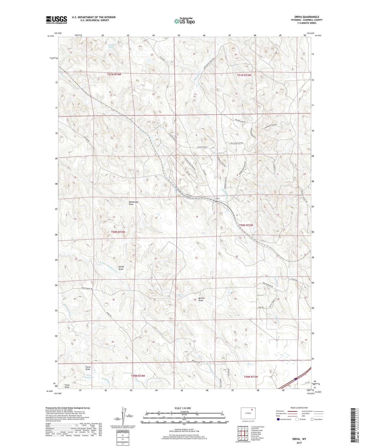
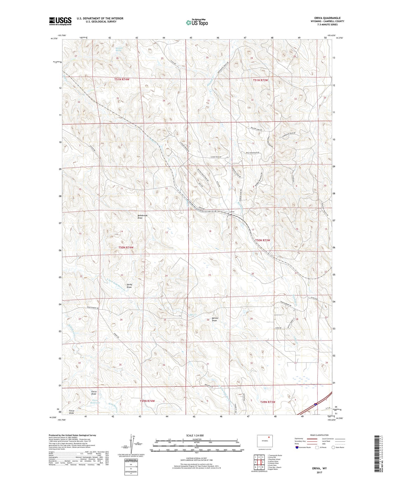
2021 topographic map quadrangle Oriva in the state of Wyoming. Scale: 1:24000. Based on the newly updated USGS 7.5' US Topo map series, this map is in the following counties: Campbell. The map contains contour data, water features, and other items you are used to seeing on USGS maps, but also has updated roads and other features. This is the next generation of topographic maps. Printed on high-quality waterproof paper with UV fade-resistant inks.
Quads adjacent to this one:
West: Jeffers Draw
Northwest: Twentymile Butte
North: Oriva NW
Northeast: Rawhide School
East: Gillette West
Southeast: Appel Butte
South: Four Bar J Ranch
Southwest: Scott Dam
Contains the following named places: Bennor Draw, Durky Draw, Force Draw, Force Reservoir, Kitty Oil and Gas Field, Oriva, Red Hill Spring, South Bar Creek