MyTopo
Powder Mountain NE Wyoming US Topo Map
Couldn't load pickup availability
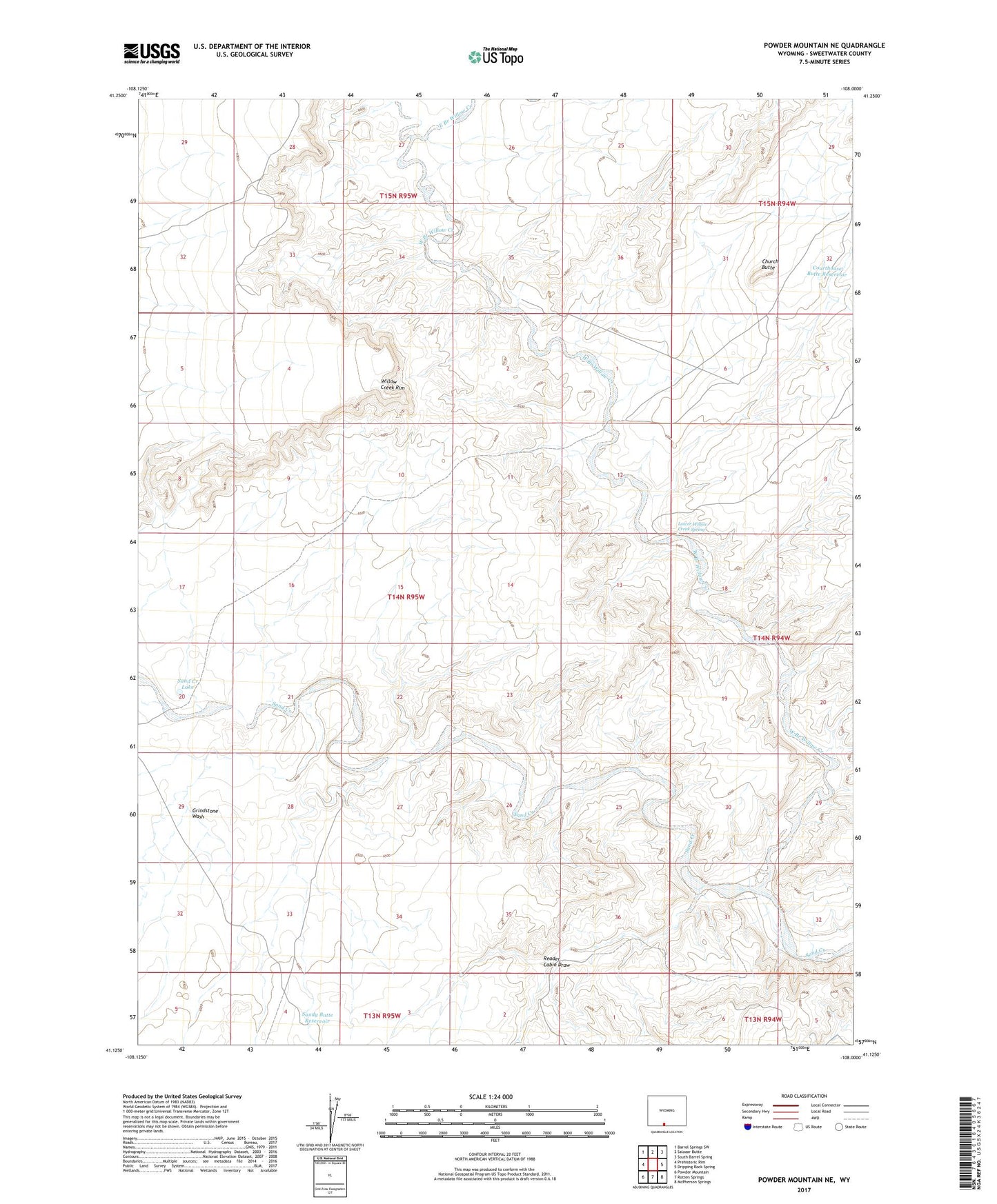
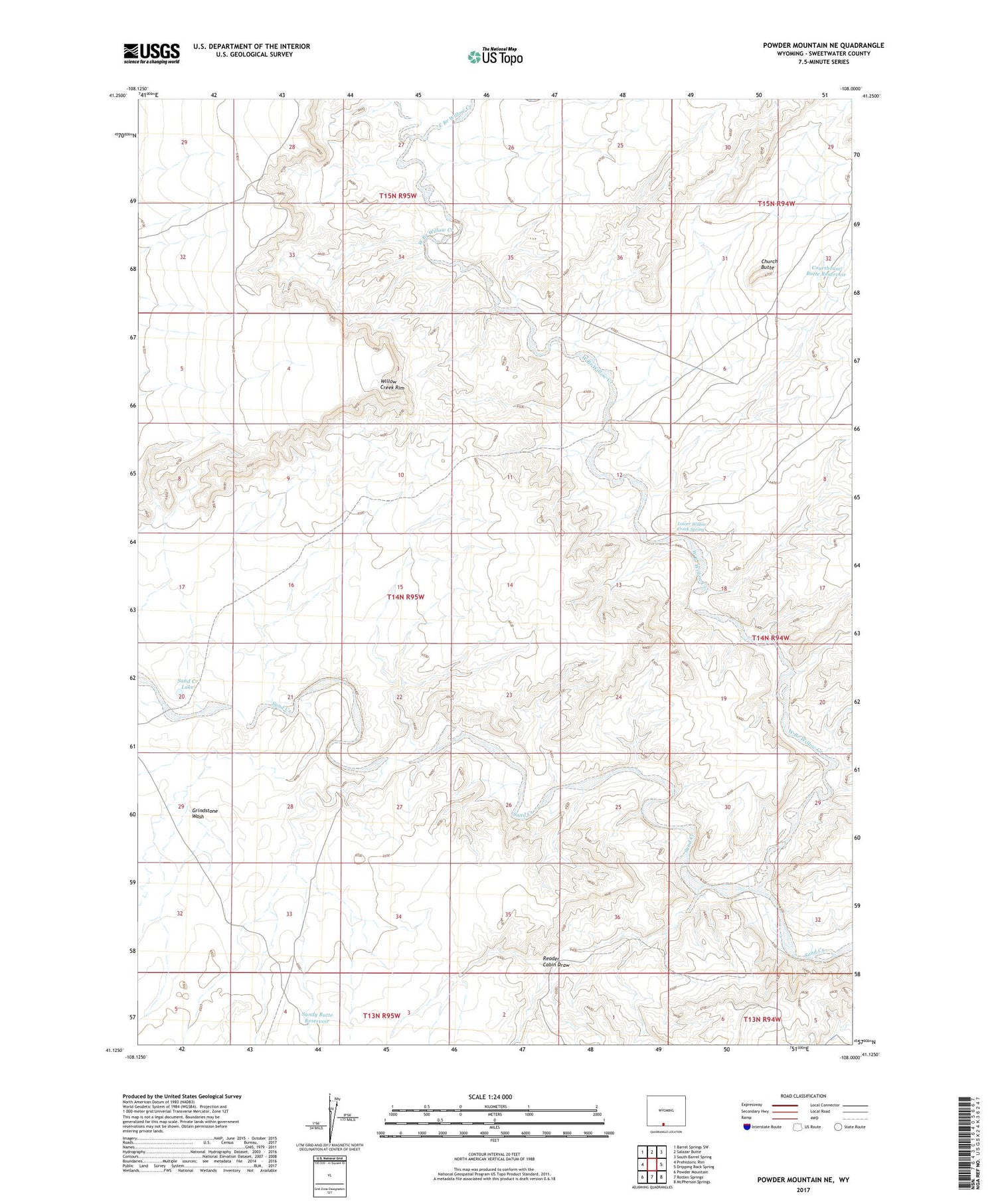
2021 topographic map quadrangle Powder Mountain NE in the state of Wyoming. Scale: 1:24000. Based on the newly updated USGS 7.5' US Topo map series, this map is in the following counties: Sweetwater. The map contains contour data, water features, and other items you are used to seeing on USGS maps, but also has updated roads and other features. This is the next generation of topographic maps. Printed on high-quality waterproof paper with UV fade-resistant inks.
Quads adjacent to this one:
West: Prehistoric Rim
Northwest: Barrel Springs SW
North: Salazar Butte
Northeast: South Barrel Spring
East: Dripping Rock Spring
Southeast: McPherson Springs
South: Rotten Springs
Southwest: Powder Mountain
Contains the following named places: Church Butte, Courthouse Butte Reservoir, East Branch Willow Creek, Grindstone Wash, Lower Willow Creek Spring, Reader Cabin Draw, Sand Creek Lake, Sandy Butte Reservoir, West Branch Willow Creek, Willow Creek, Willow Creek Rim