MyTopo
Smith Draw West Wyoming US Topo Map
Couldn't load pickup availability
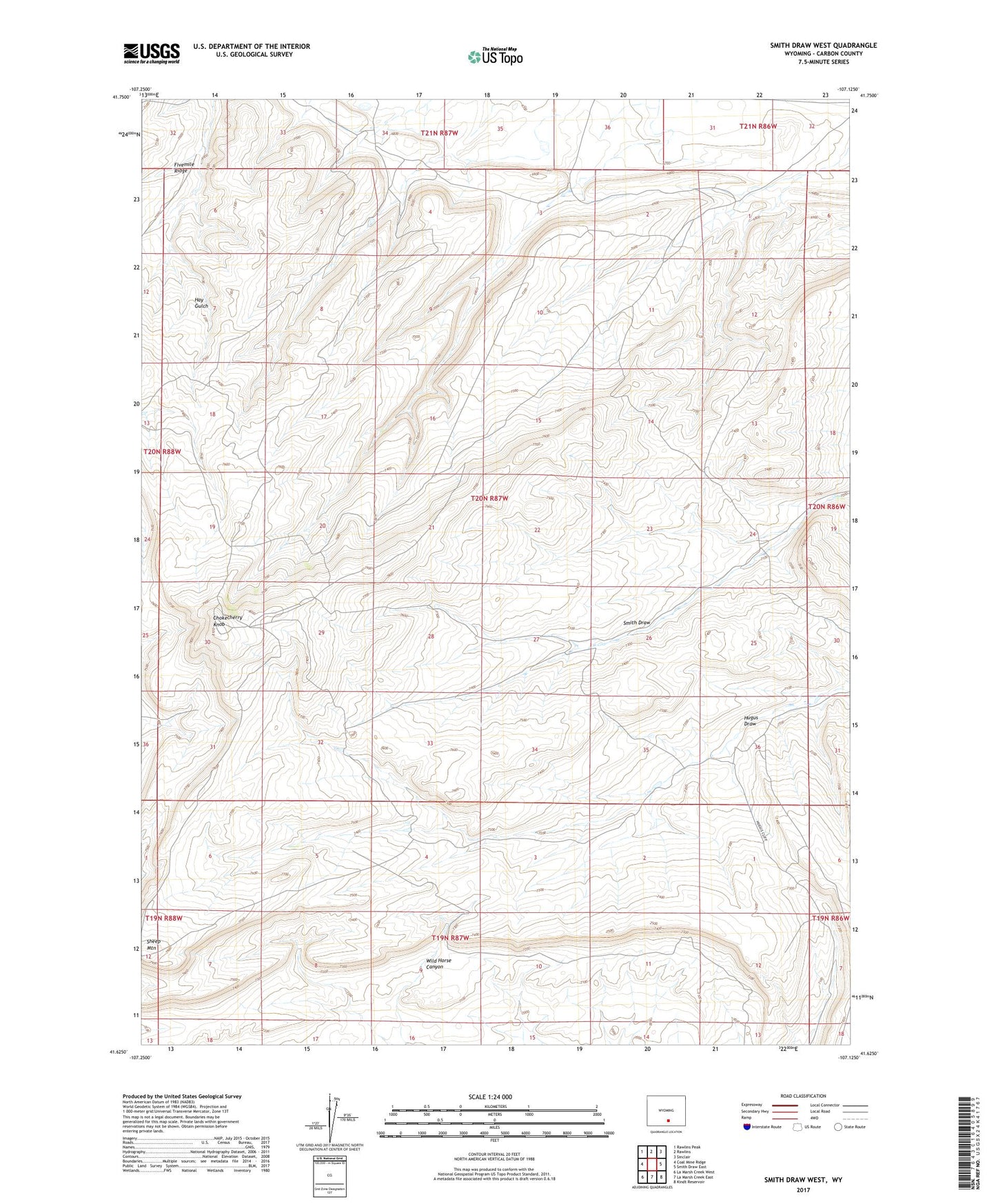
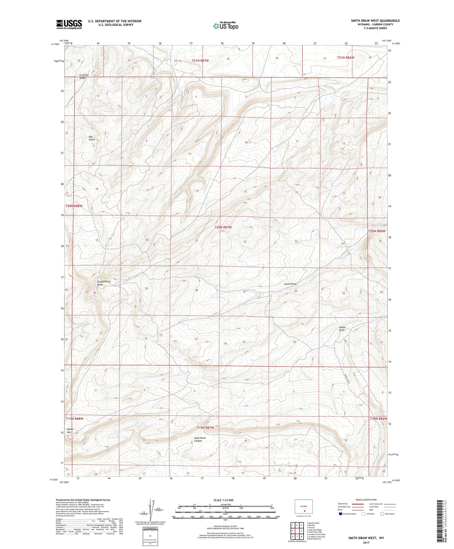
2021 topographic map quadrangle Smith Draw West in the state of Wyoming. Scale: 1:24000. Based on the newly updated USGS 7.5' US Topo map series, this map is in the following counties: Carbon. The map contains contour data, water features, and other items you are used to seeing on USGS maps, but also has updated roads and other features. This is the next generation of topographic maps. Printed on high-quality waterproof paper with UV fade-resistant inks.
Quads adjacent to this one:
West: Coal Mine Ridge
Northwest: Rawlins Peak
North: Rawlins
Northeast: Sinclair
East: Smith Draw East
Southeast: Kindt Reservoir
South: La Marsh Creek East
Southwest: La Marsh Creek West
Contains the following named places: Chokecherry Knob, Sheep Mountain, Wild Horse Canyon