MyTopo
Stinking Water Creek Wyoming US Topo Map
Couldn't load pickup availability
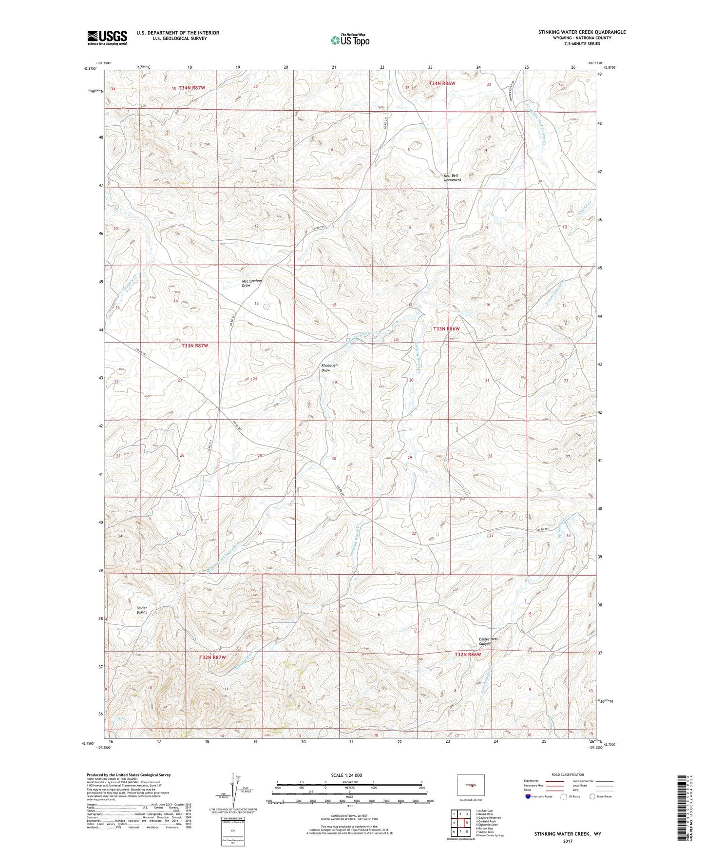
2021 topographic map quadrangle Stinking Water Creek in the state of Wyoming. Scale: 1:24000. Based on the newly updated USGS 7.5' US Topo map series, this map is in the following counties: Natrona. The map contains contour data, water features, and other items you are used to seeing on USGS maps, but also has updated roads and other features. This is the next generation of topographic maps. Printed on high-quality waterproof paper with UV fade-resistant inks.
Quads adjacent to this one:
West: Garfield Peak
Northwest: McRae Gap
North: Broad Mesa
Northeast: Gaylord Reservoir
East: Eightmile Draw
Southeast: Horse Creek Springs
South: Saddle Rock
Southwest: Barlow Gap
Contains the following named places: Eagles Nest Canyon, Forgery Ranch, McClanahan Lake, Neil Bell Monument, Oil City Ranch, Rhobaugh Draw, Snider Basin, Stinking Water Creek, Sun Ranch