MyTopo
The Nose East Wyoming US Topo Map
Couldn't load pickup availability
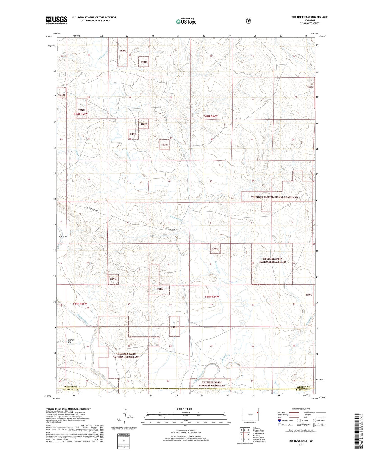
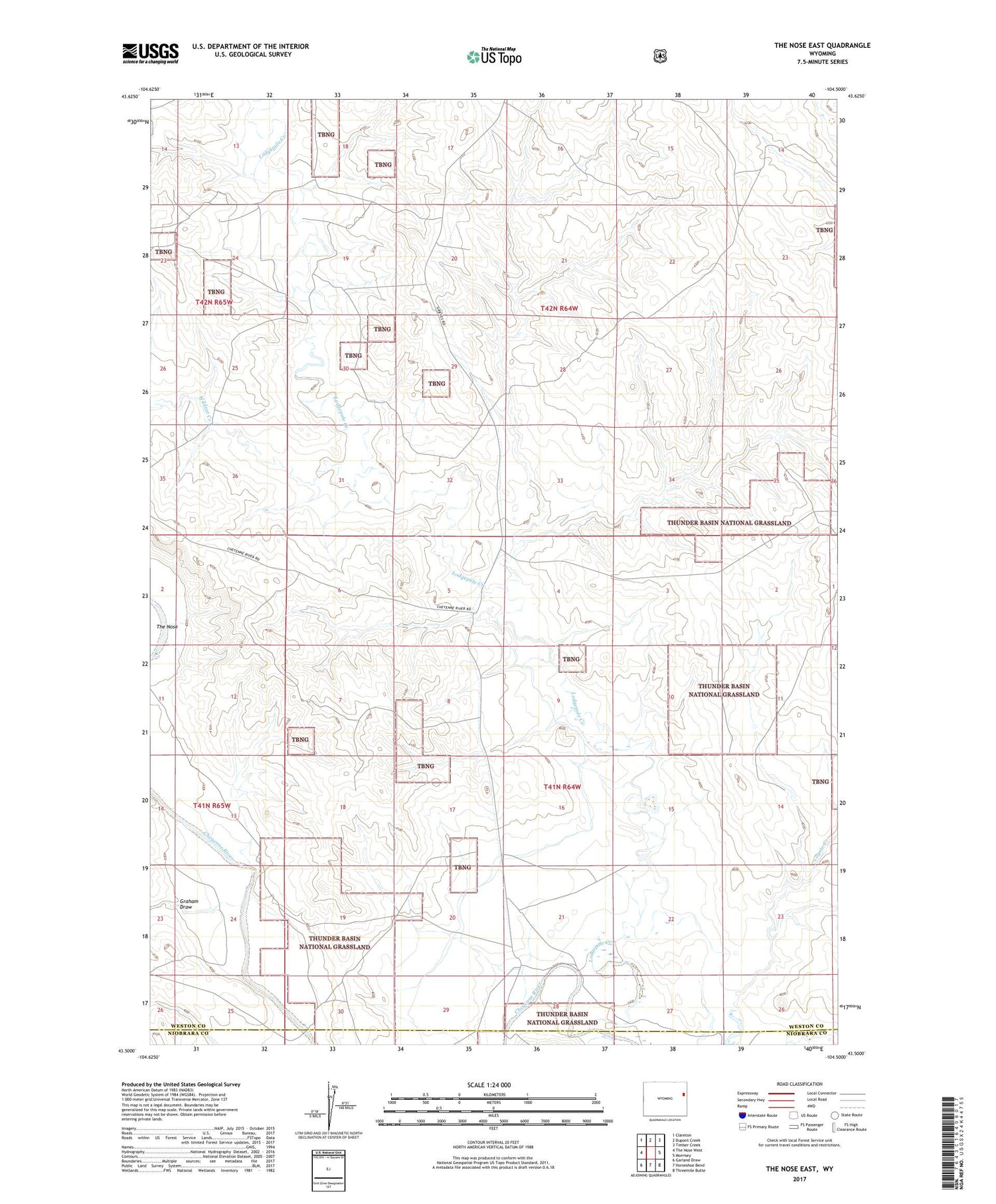
2021 topographic map quadrangle The Nose East in the state of Wyoming. Scale: 1:24000. Based on the newly updated USGS 7.5' US Topo map series, this map is in the following counties: Weston, Niobrara. The map contains contour data, water features, and other items you are used to seeing on USGS maps, but also has updated roads and other features. This is the next generation of topographic maps. Printed on high-quality waterproof paper with UV fade-resistant inks.
Quads adjacent to this one:
West: The Nose West
Northwest: Clareton
North: Dupont Creek
Northeast: Timber Creek
East: Morrisey
Southeast: Threemile Butte
South: Horseshoe Bend
Southwest: Garland Draw
Contains the following named places: Au 7 Ranch, Butte Dam, Butte Reservoir, Graham Draw, Grieves Ranch, Lodgepole Creek, Shurley Oil Field, Wildcat Creek