MyTopo
Tule Butte Wyoming US Topo Map
Couldn't load pickup availability
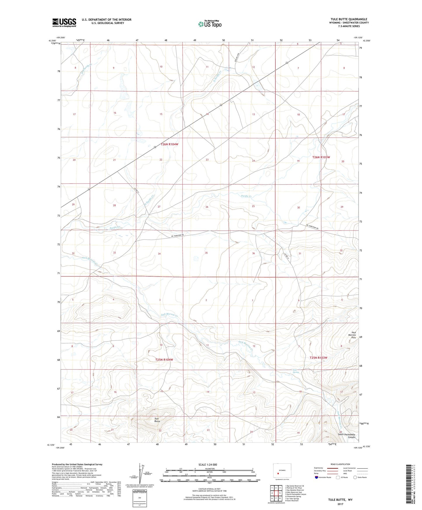
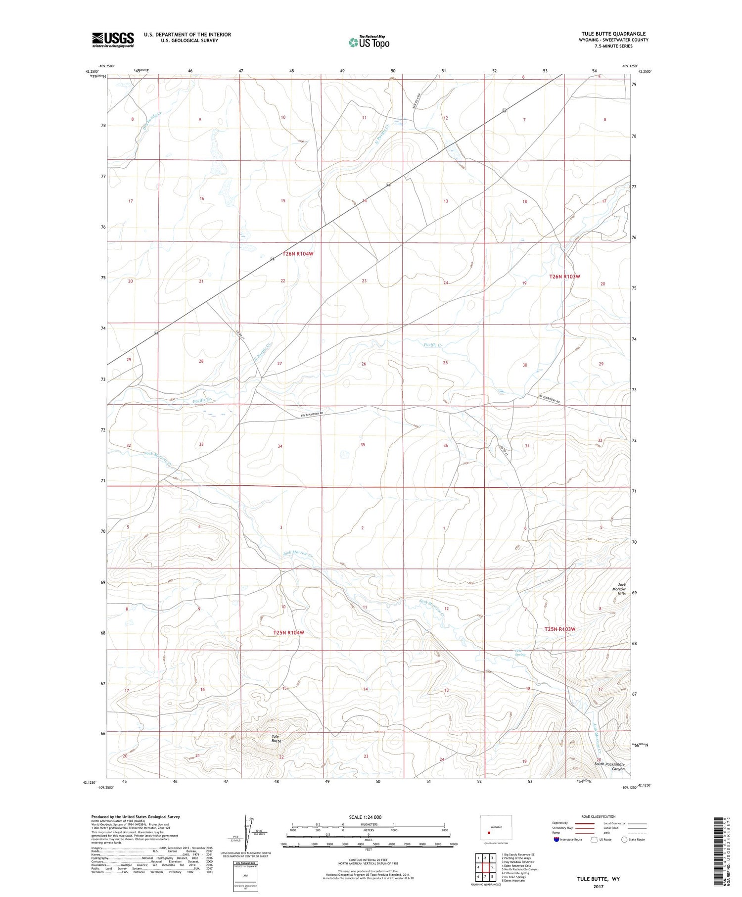
2021 topographic map quadrangle Tule Butte in the state of Wyoming. Scale: 1:24000. Based on the newly updated USGS 7.5' US Topo map series, this map is in the following counties: Sweetwater. The map contains contour data, water features, and other items you are used to seeing on USGS maps, but also has updated roads and other features. This is the next generation of topographic maps. Printed on high-quality waterproof paper with UV fade-resistant inks.
Quads adjacent to this one:
West: Eden Reservoir East
Northwest: Big Sandy Reservoir SE
North: Parting of the Ways
Northeast: Hay Meadow Reservoir
East: North Packsaddle Canyon
Southeast: Essex Mountain
South: Ox Yoke Springs
Southwest: Fifteenmile Spring
Contains the following named places: Middle Hay Ranch, North Pacific Creek, Pete Spring, South Packsaddle Canyon, Tule Butte