MyTopo
Ox Yoke Springs Wyoming US Topo Map
Couldn't load pickup availability
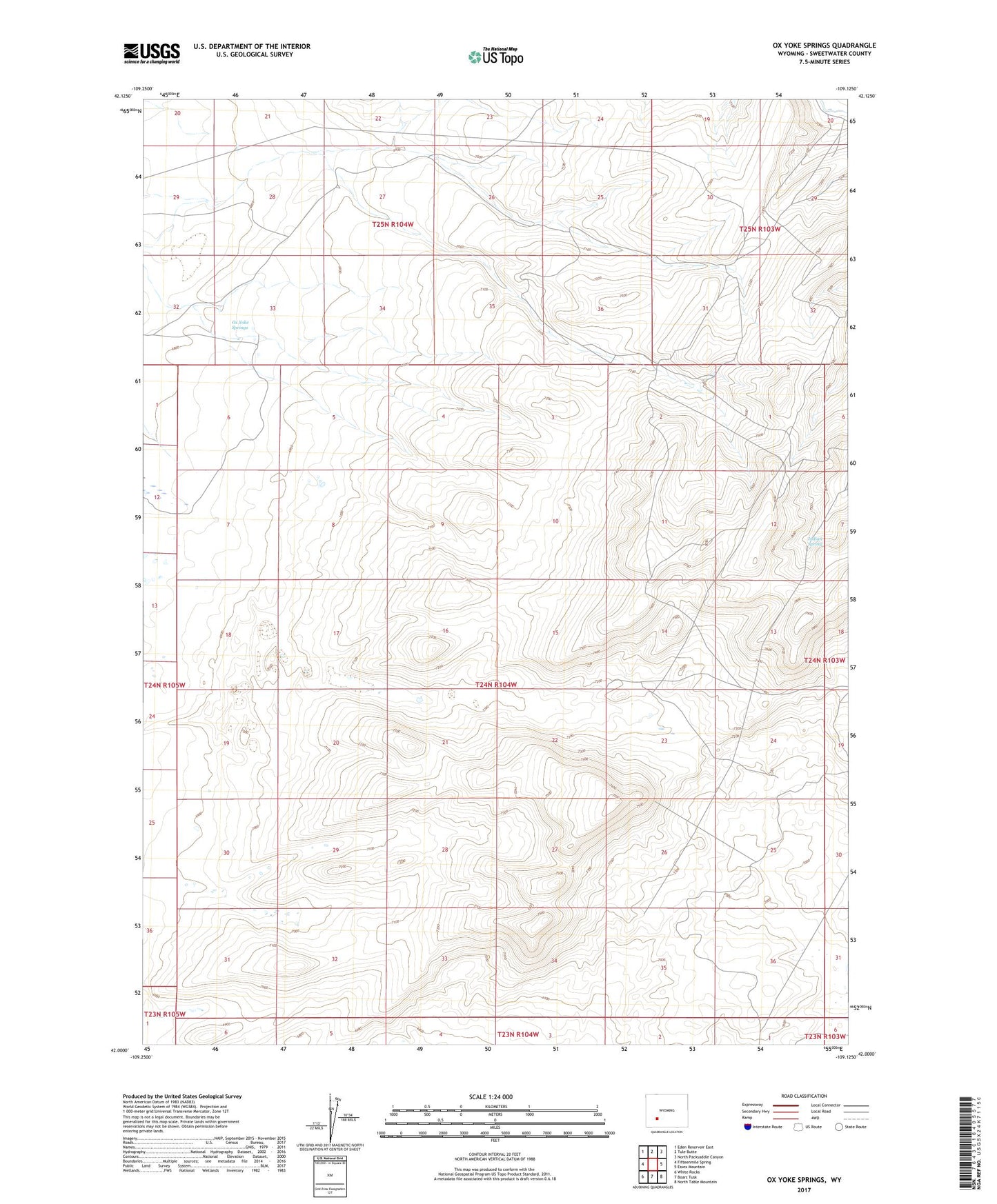
2021 topographic map quadrangle Ox Yoke Springs in the state of Wyoming. Scale: 1:24000. Based on the newly updated USGS 7.5' US Topo map series, this map is in the following counties: Sweetwater. The map contains contour data, water features, and other items you are used to seeing on USGS maps, but also has updated roads and other features. This is the next generation of topographic maps. Printed on high-quality waterproof paper with UV fade-resistant inks.
Quads adjacent to this one:
West: Fifteenmile Spring
Northwest: Eden Reservoir East
North: Tule Butte
Northeast: North Packsaddle Canyon
East: Essex Mountain
Southeast: North Table Mountain
South: Boars Tusk
Southwest: White Rocks
This map covers the same area as the classic USGS quad with code o42109a2.
Contains the following named places: Indian Spring, Ox Yoke Springs