MyTopo
Whitcomb Hill Wyoming US Topo Map
Couldn't load pickup availability
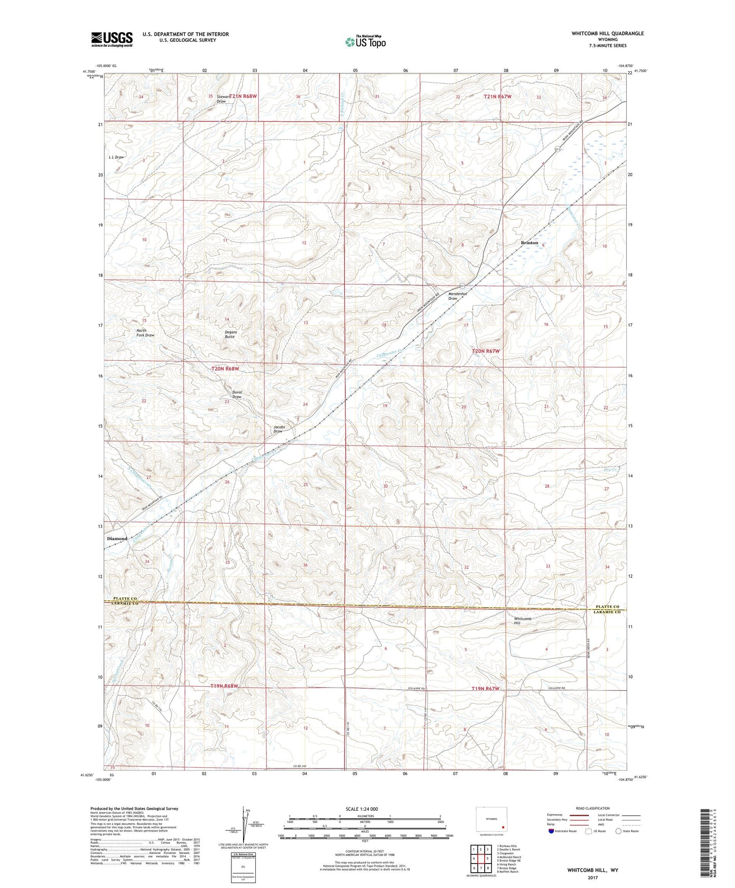
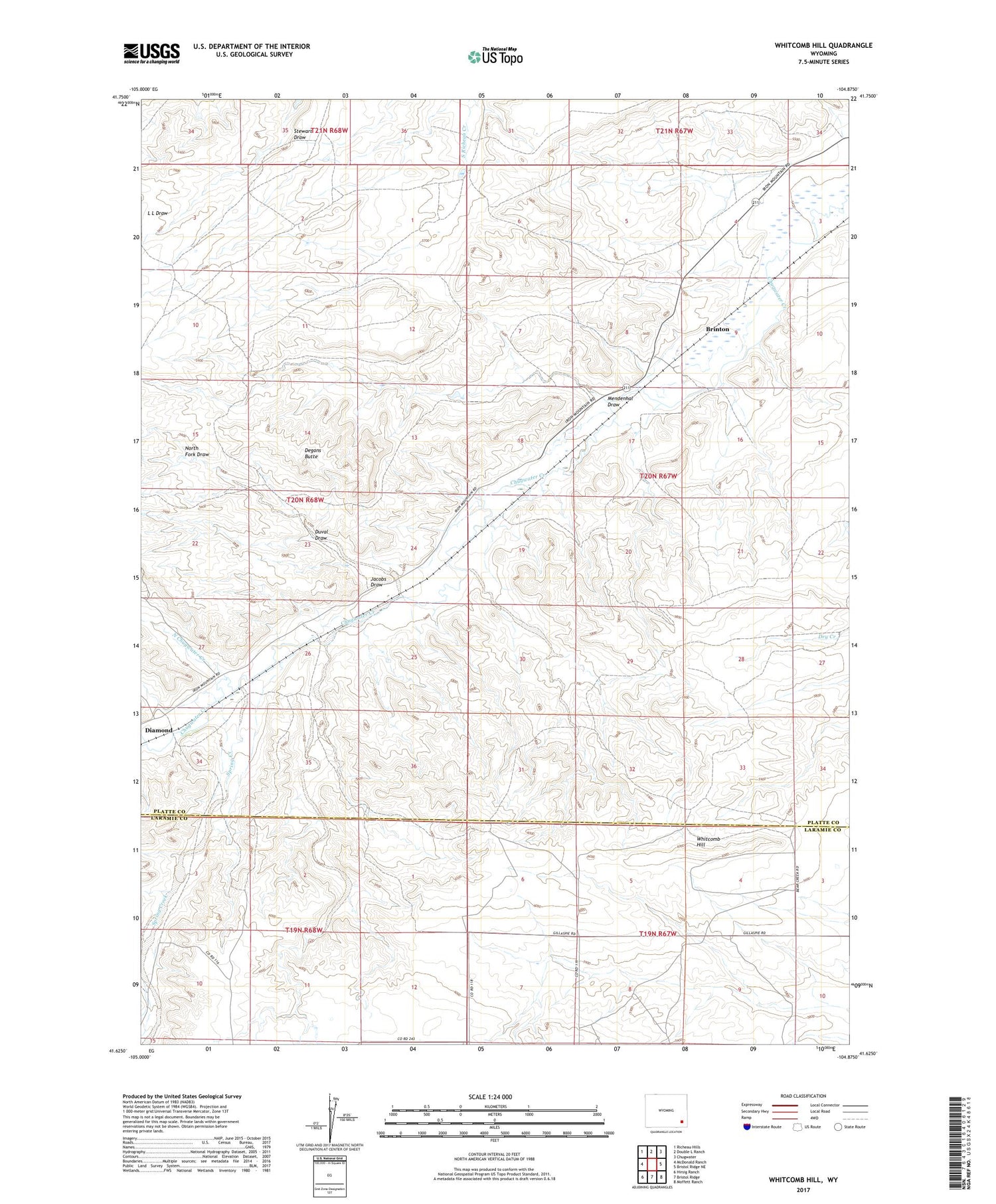
2021 topographic map quadrangle Whitcomb Hill in the state of Wyoming. Scale: 1:24000. Based on the newly updated USGS 7.5' US Topo map series, this map is in the following counties: Platte, Laramie. The map contains contour data, water features, and other items you are used to seeing on USGS maps, but also has updated roads and other features. This is the next generation of topographic maps. Printed on high-quality waterproof paper with UV fade-resistant inks.
Quads adjacent to this one:
West: McDonald Ranch
Northwest: Richeau Hills
North: Double L Ranch
Northeast: Chugwater
East: Bristol Ridge NE
Southeast: Moffett Ranch
South: Bristol Ridge
Southwest: Hirsig Ranch
Contains the following named places: Brinton, Chalk Hill School, Degans Butte, Diamond, Duval Draw, Foss Ranch, Jacobs Draw, Mendenhal Draw, North Chugwater Creek, North Fork Draw, Spring Creek, Whitcomb Hill, Whitcomb Ranch