MyTopo
McDonald Ranch Wyoming US Topo Map
Couldn't load pickup availability
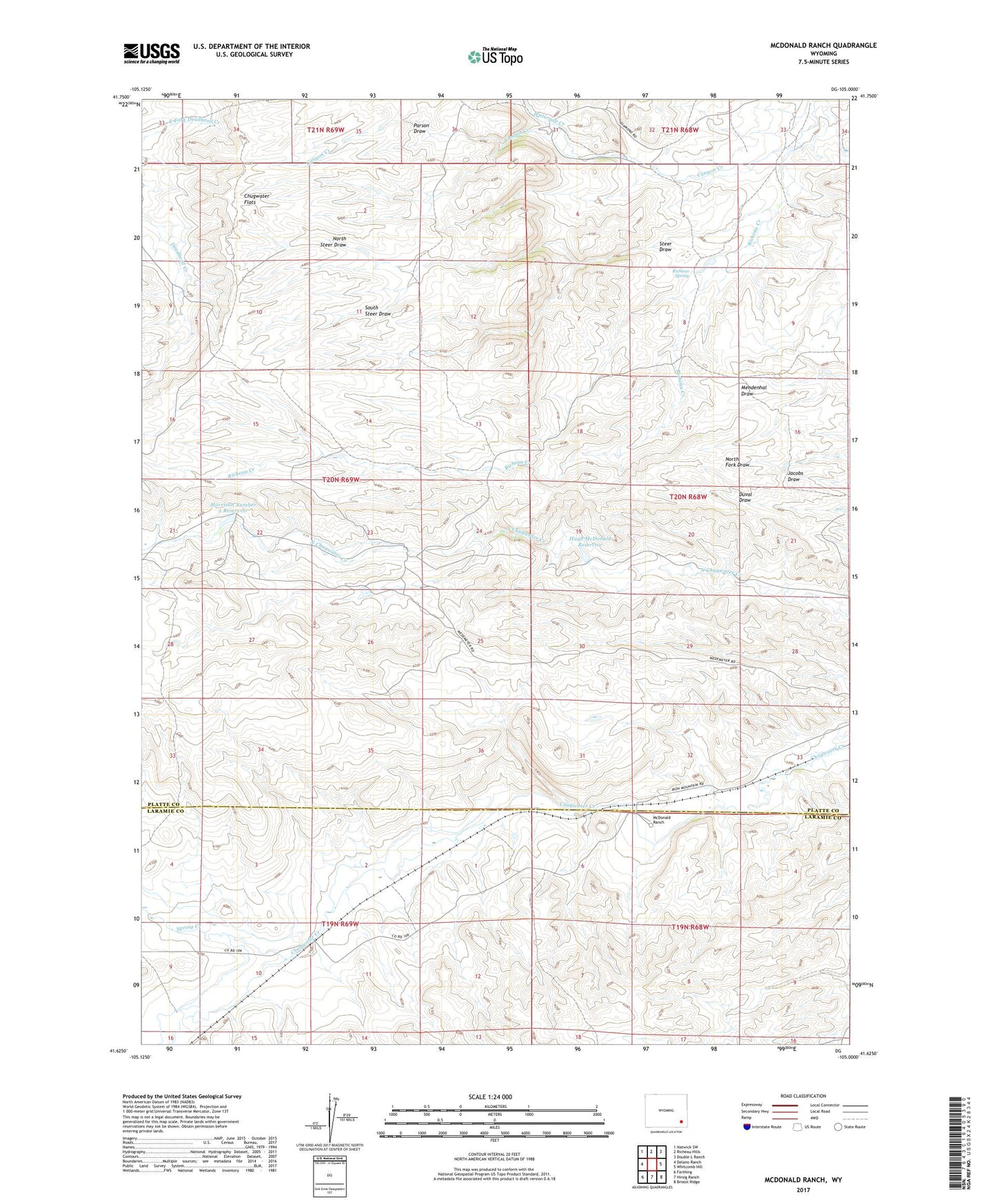
2021 topographic map quadrangle McDonald Ranch in the state of Wyoming. Scale: 1:24000. Based on the newly updated USGS 7.5' US Topo map series, this map is in the following counties: Platte, Laramie. The map contains contour data, water features, and other items you are used to seeing on USGS maps, but also has updated roads and other features. This is the next generation of topographic maps. Printed on high-quality waterproof paper with UV fade-resistant inks.
Quads adjacent to this one:
West: Delano Ranch
Northwest: Natwick SW
North: Richeau Hills
Northeast: Double L Ranch
East: Whitcomb Hill
Southeast: Bristol Ridge
South: Hirsig Ranch
Southwest: Farthing
This map covers the same area as the classic USGS quad with code o41105f1.
Contains the following named places: Canyon Creek, Diamond Ranch, Hugh McDonald Dam, Hugh McDonald Reservoir, McDonald Ranch, McDonald School, Morrison Number 2 Dam, Morrison Number 2 Reservoir, North Steer Draw, Parson Draw, Richeau Spring, South Steer Draw, Spring Creek, Steer Draw, Watergap Creek, Wedemeyer Ranch