
MyTopo
Whitetail Creek SE Wyoming US Topo Map
Couldn't load pickup availability
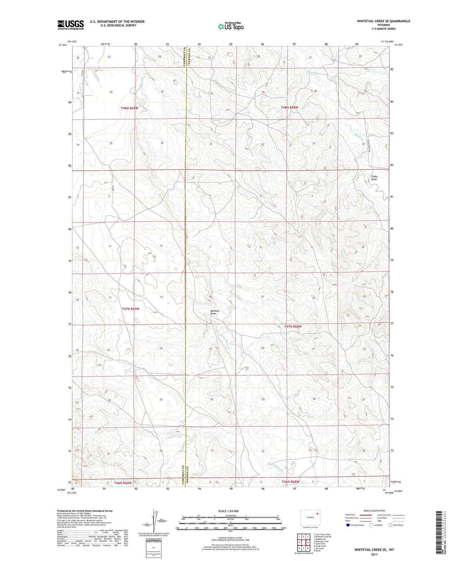
2021 topographic map quadrangle Whitetail Creek SE in the state of Wyoming. Scale: 1:24000. Based on the newly updated USGS 7.5' US Topo map series, this map is in the following counties: Weston, Campbell. The map contains contour data, water features, and other items you are used to seeing on USGS maps, but also has updated roads and other features. This is the next generation of topographic maps. Printed on high-quality waterproof paper with UV fade-resistant inks.
Quads adjacent to this one:
West: Whitetail Creek
Northwest: Coon Track Creek
North: Whitetail Creek NE
Northeast: Spyglass Hill
East: Cedar Draw
Southeast: Raven
South: Jim Creek
Southwest: Rough Creek
Contains the following named places: Baker Number 2 Dam, Baker Number 2 Reservoir, Baker Ranch, Bowden Ranch, Cedar Draw, Dillinger Ranch, Mexican Draw, Pickrel Ranch, Spring Creek


