MyTopo
Jim Creek Wyoming US Topo Map
Couldn't load pickup availability
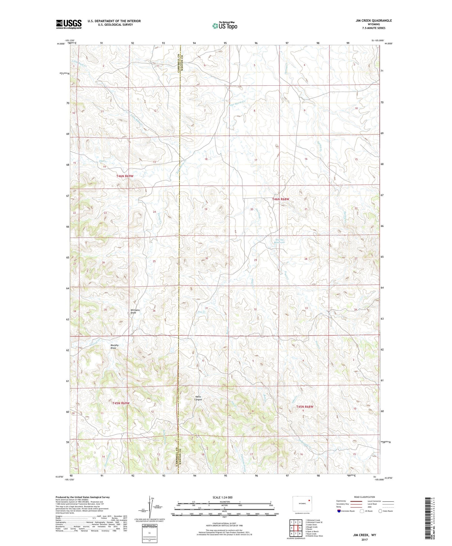
2021 topographic map quadrangle Jim Creek in the state of Wyoming. Scale: 1:24000. Based on the newly updated USGS 7.5' US Topo map series, this map is in the following counties: Weston, Campbell. The map contains contour data, water features, and other items you are used to seeing on USGS maps, but also has updated roads and other features. This is the next generation of topographic maps. Printed on high-quality waterproof paper with UV fade-resistant inks.
Quads adjacent to this one:
West: Rough Creek
Northwest: Whitetail Creek
North: Whitetail Creek SE
Northeast: Cedar Draw
East: Raven
Southeast: Wildlife Draw West
South: Buck Creek
Southwest: Open A Ranch
This map covers the same area as the classic USGS quad with code o43105h1.
Contains the following named places: Bell Creek, Corral Creek, Harold Place, Harrel Reservoir, Hells Canyon, Jake Creek, Jay Creek, Jim Creek, Little Buck Creek, Murphy Draw, Trail Creek, Williams Draw