MyTopo
Wildlife Draw East Wyoming US Topo Map
Couldn't load pickup availability
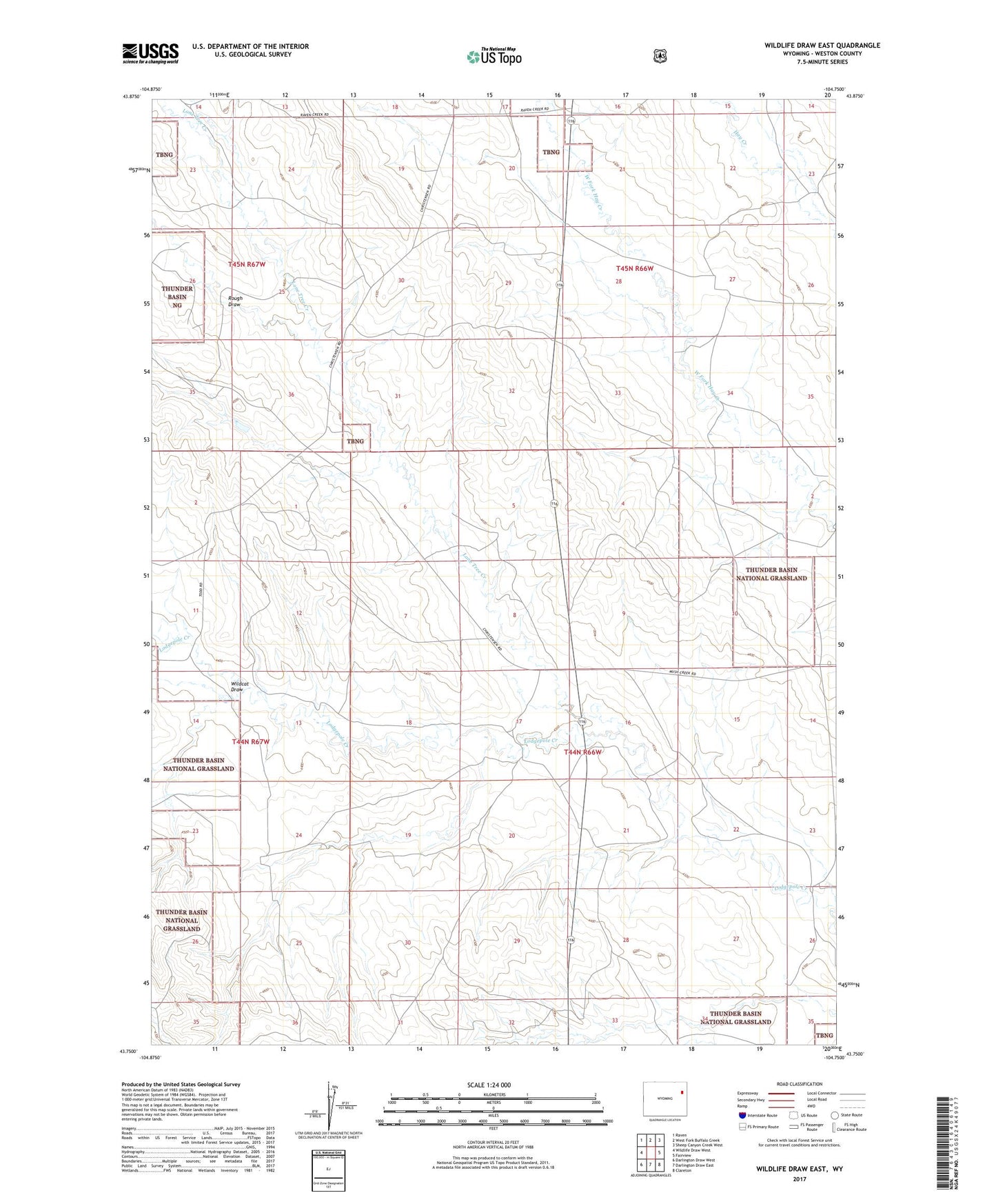
2021 topographic map quadrangle Wildlife Draw East in the state of Wyoming. Scale: 1:24000. Based on the newly updated USGS 7.5' US Topo map series, this map is in the following counties: Weston. The map contains contour data, water features, and other items you are used to seeing on USGS maps, but also has updated roads and other features. This is the next generation of topographic maps. Printed on high-quality waterproof paper with UV fade-resistant inks.
Quads adjacent to this one:
West: Wildlife Draw West
Northwest: Raven
North: West Fork Buffalo Creek
Northeast: Sheep Canyon Creek West
East: Fairview
Southeast: Clareton
South: Darlington Draw East
Southwest: Darlington Draw West
Contains the following named places: Brown Place, Cellers 9-499-4 Dam, Cellers 9-499-4 Reservoir, Christensen Ranch, George Place, Lodgepole Creek Oil Field, Lone Tree Creek, Martens 9-368-1 Reservoir, Mush Creek Dam, Rough Draw, Wildcat Draw