MyTopo
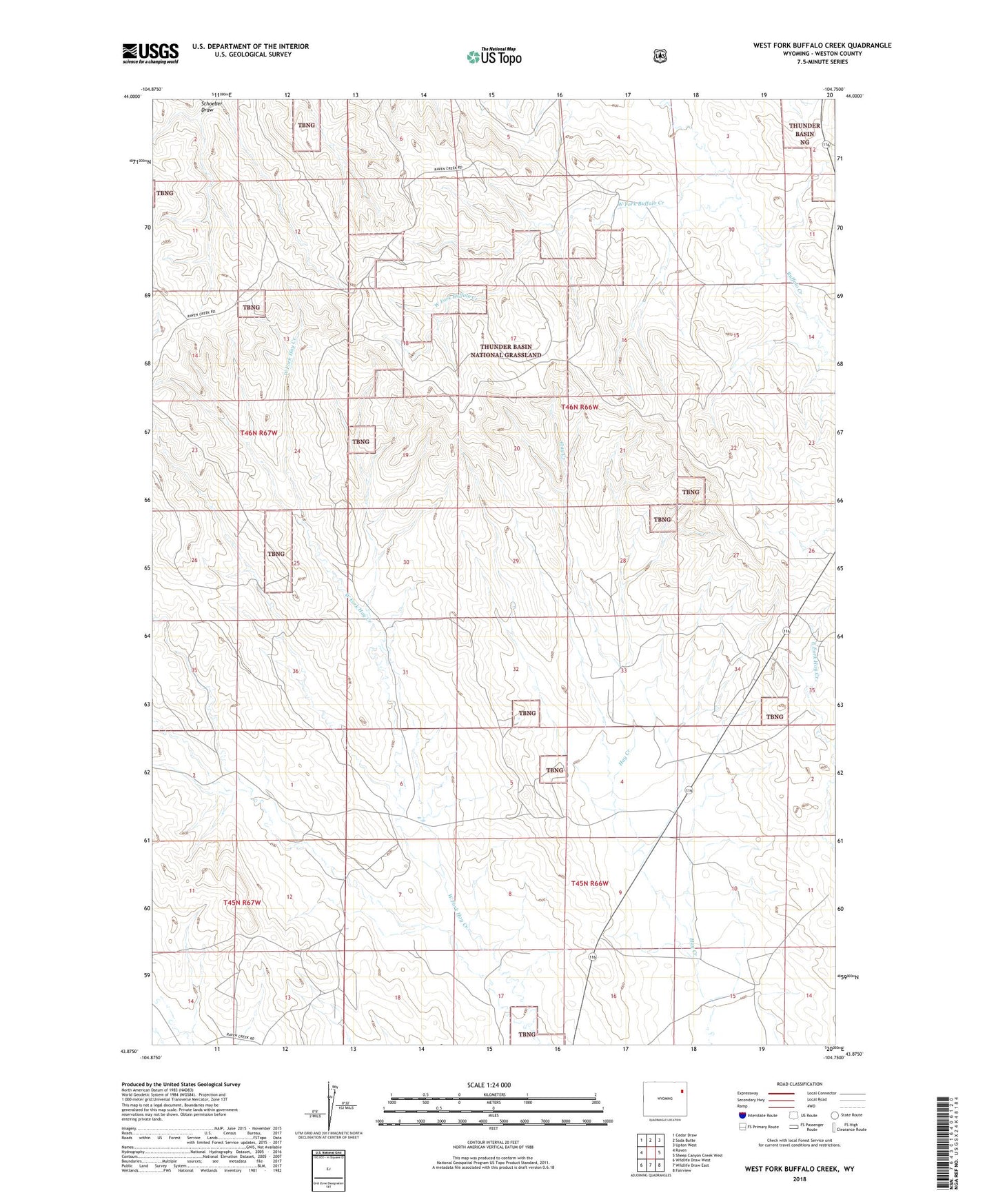
West Fork Buffalo Creek Wyoming US Topo Map
Couldn't load pickup availability
Also explore the West Fork Buffalo Creek Forest Service Topo of this same quad for updated USFS data
2021 topographic map quadrangle West Fork Buffalo Creek in the state of Wyoming. Scale: 1:24000. Based on the newly updated USGS 7.5' US Topo map series, this map is in the following counties: Weston. The map contains contour data, water features, and other items you are used to seeing on USGS maps, but also has updated roads and other features. This is the next generation of topographic maps. Printed on high-quality waterproof paper with UV fade-resistant inks.
Quads adjacent to this one:
West: Raven
Northwest: Cedar Draw
North: Soda Butte
Northeast: Upton West
East: Sheep Canyon Creek West
Southeast: Fairview
South: Wildlife Draw East
Southwest: Wildlife Draw West
This map covers the same area as the classic USGS quad with code o43104h7.
Contains the following named places: Hay Creek Oil Field, Hoffman Ranch, Shepperson Ranch, Upton Division, West Fork Buffalo Creek