MyTopo
Hermit Trail Map (Grand Canyon NP, Arizona)
Couldn't load pickup availability
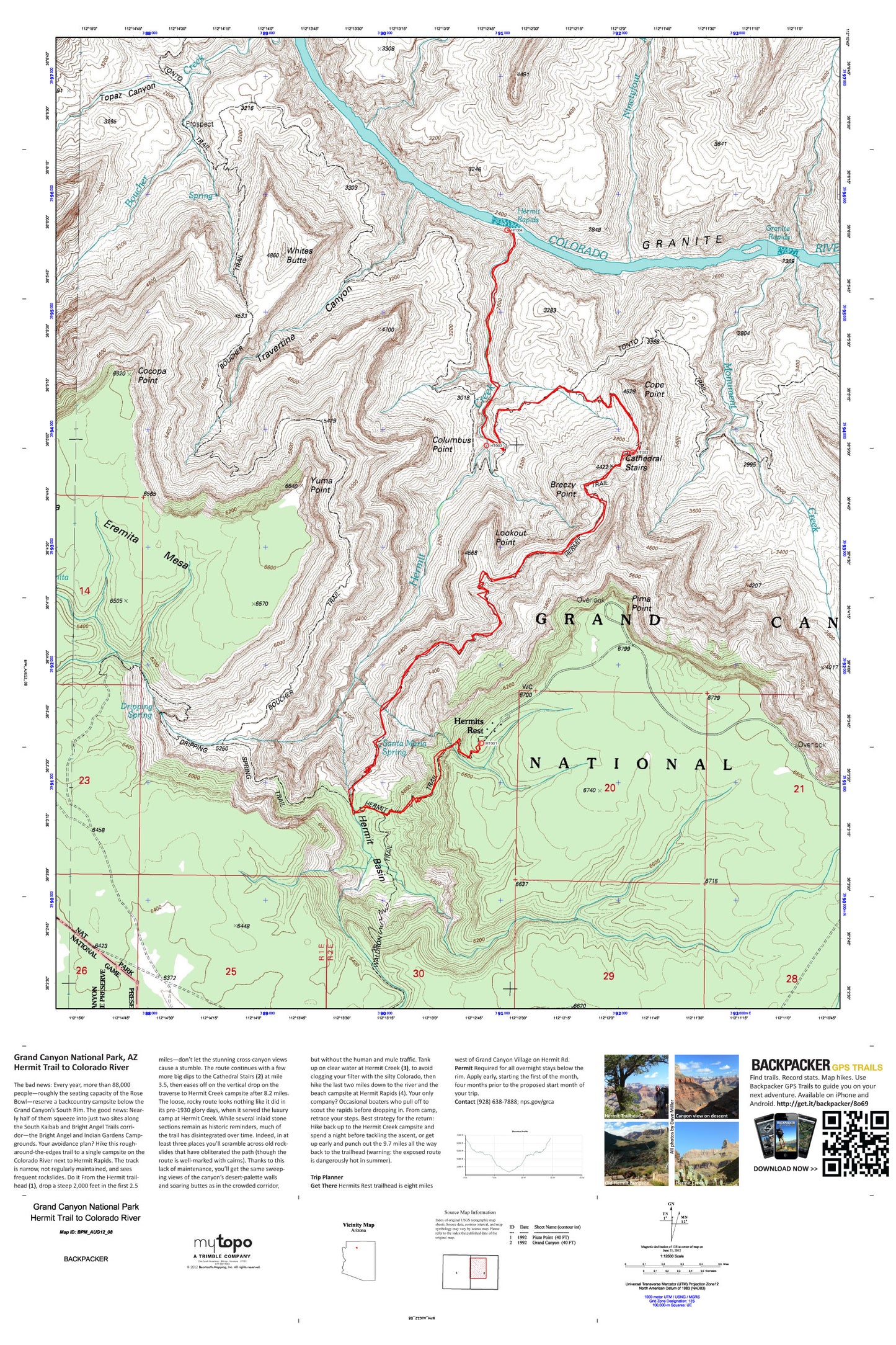
A special Backpacker Magazine topo map printed on waterproof, tearproof paper. Includes topographic map data from the USGS and detailed trip information
Hike this rough-around-the-edges trail to a single campsite on the Colorado River next to Hermit Rapids. The track is narrow, not regularly maintained, and sees frequent rockslides--but not the 88,000 other hikers that squeeze into the two sites (Bright Angel and Indian Gardens Campgrounds) along the South Kaibab and Bright Angel Trails corridor every year. Map includes turn-by-turn hiking directions and in-depth trip planning essentials to help you experience this BACKPACKER PRO adventure.
Contains the following named locations: Boucher Creek,Boucher Rapids,Boucher Trail,Breezy Point,Cathedral Stairs,Cedar Spring,Cocopa Point,Columbus Point,Cope Butte,Dripping Spring,Dripping Springs Trail,Eremita Mesa,Eremita Tank,Fourmile Spring,Granite Rapids,Hermit Basin,Hermit Creek,Hermit Rapids,Hermit Trail,Hermits Rest,Horsethief Tank,Lookout Point,Marsh Butte,Monument Creek,Ninetyfour Mile Creek,Pima Point,Rowes Tank,Rowes Well,Santa Maria Spring,The Abyss,Topaz Canyon,Trap Tank,Travertine Canyon,Waldron Trail,Whites Butte,Yuma Point


