Discover the diverse landscapes of Ohio with MyTopo's collection of state maps and atlases. Find detailed USGS maps, historic maps, topographic maps, hunting maps, aerials and satellite views. The Buckeye State offers incredible opportunities for exploring its state parks, visiting historic landmarks, and enjoying its vibrant cities.
We cover every location in the state including popular destinations like Cleveland, Columbus, Cincinnati, Cedar Point, and Hocking Hills State Park
Statewide Maps & Poster Prints
-
State of Ohio Topographic Map
Regular price $40.00Regular priceUnit price per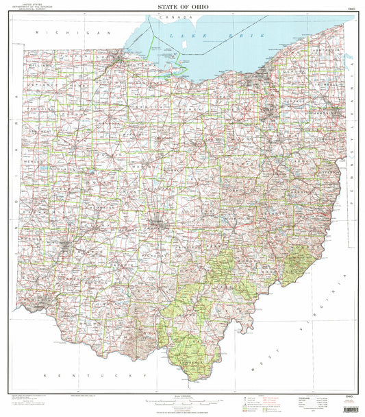
-
State of Ohio Glacial Map
Regular price $60.00Regular priceUnit price per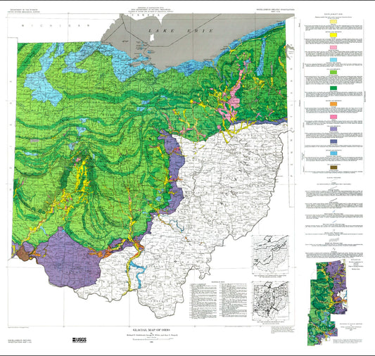
-
State of Ohio Base Map
Regular price $40.00Regular priceUnit price per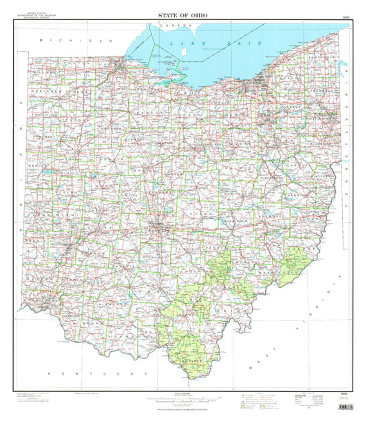
-
State of Ohio Satellite Map
Regular price $130.00Regular priceUnit price per
-
State of Ohio Shaded Relief Topo Map
Regular price $40.00Regular priceUnit price per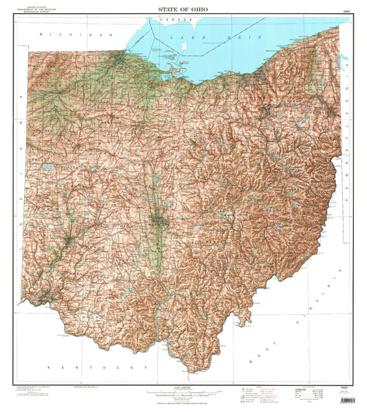
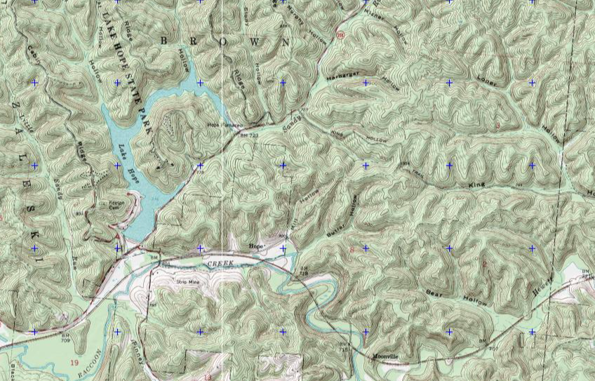
Ohio Explorer Maps
Ohio Explorer Series maps represent a curated collection of the most popular locations MyTopo customers have designed maps at. These highly detailed maps are centered on the most amazing places to hike, hunt, and explore.
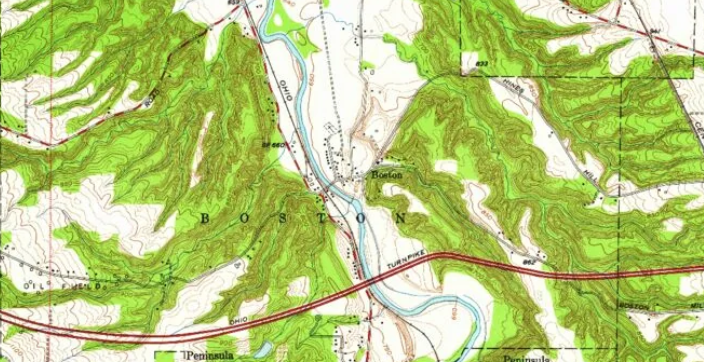
Ohio Historic Maps
Created at a scale of 1:125,000, this map series was produced from 1883 to 1945. They represent an amazing resource to find historic sites, and are beautiful as vintage wall art. As a medium-scale map, they are detailed enough to show a good image, but general enough to cover a wide area.
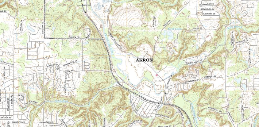
US Topo Maps
Covering all of Ohio in high detail levels with up-to-date roads, contours, and water features. This is the Next Generation of US Geologic Survey Quad Sheets/Topographic Maps
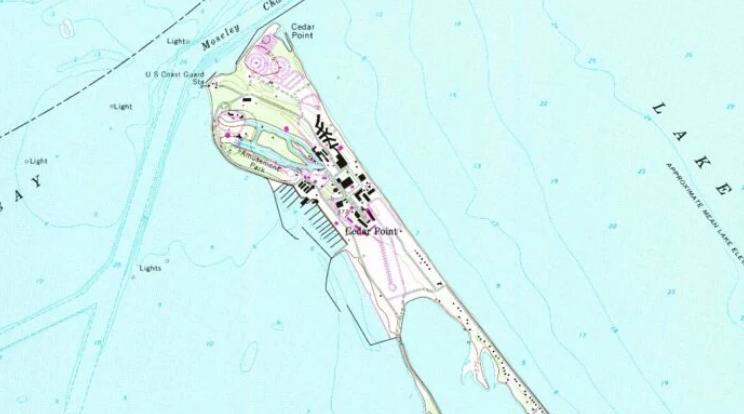
Ohio Quad Maps
These 1:24,000 scale, 7.5 minute maps are the standard for topographic mapping in Ohio. Many people still prefer the classic quadrangles due to the unmatched level of detail, accuracy, and symbology honed over a 100-year period by dedicated USGS cartographers.

Ohio Military Maps
Our 1:50,000 scale military topo maps are produced by USGS/NGA. They are designed for precision and durability in various field conditions
Custom Ohio Maps and Photos
Get a detailed MyTopo topographic map or aerial/satellite map of any location in Ohio or the U.S. Simply search for the area, set a center point, and choose your map options. Begin here:
Popular Ohio Maps:
-
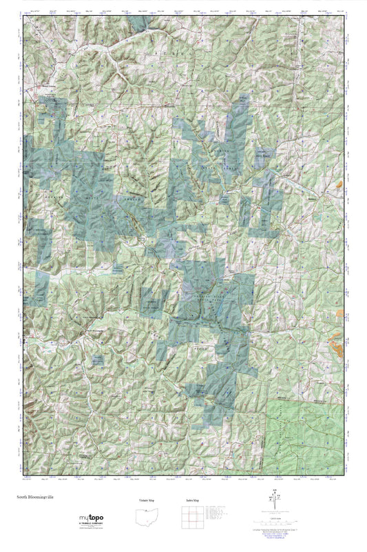
South Bloomingville Ohio US Topo Map
Regular price $16.95Regular priceUnit price per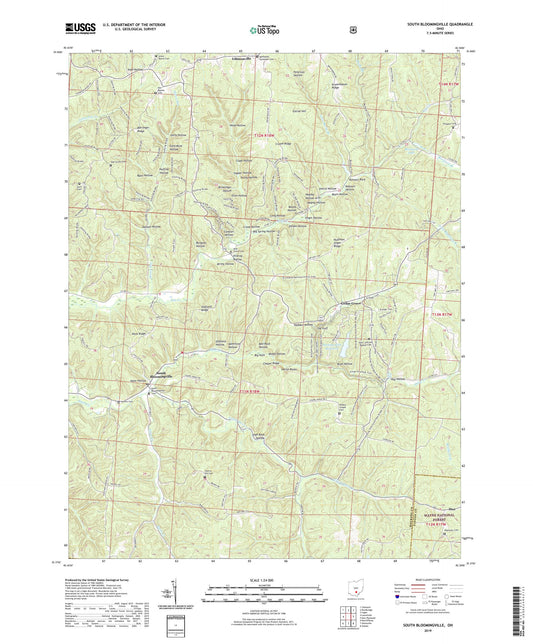
-
Shawnee State Forest MyTopo Explorer Series Map
Regular price $25.00Regular priceUnit price per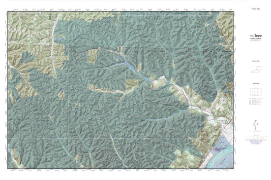
-
Zaleski State Forest Map (Ohio)
Regular price $30.00Regular priceUnit price per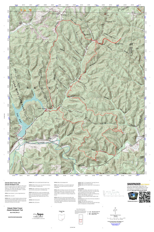
-
Peninsula Ohio US Topo Map
Regular price $16.95Regular priceUnit price per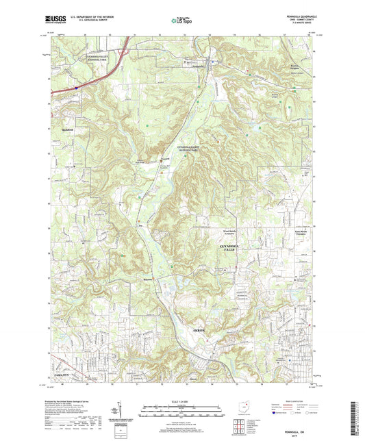
-
Jelloway Ohio US Topo Map
Regular price $16.95Regular priceUnit price per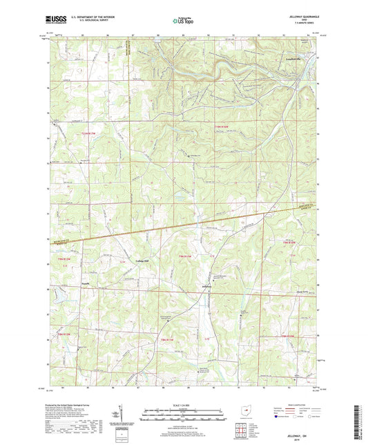
-
Twin Valley Trail Map (Five Rivers MetroParks, Ohio)
Regular price $30.00Regular priceUnit price per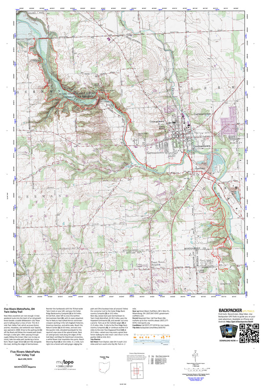
-
Zaleski State Forest MyTopo Explorer Series Map
Regular price $25.00Regular priceUnit price per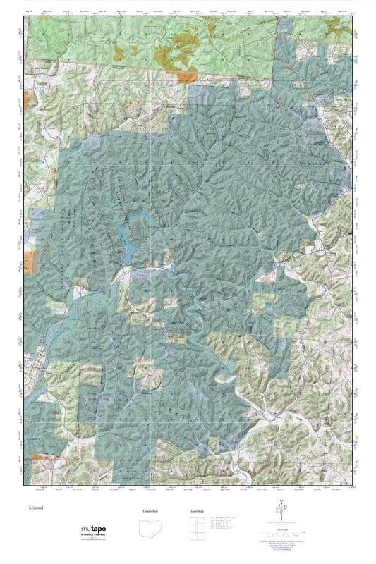
-
South Bloomingville MyTopo Explorer Series Map
Regular price $25.00Regular priceUnit price per