MyTopo
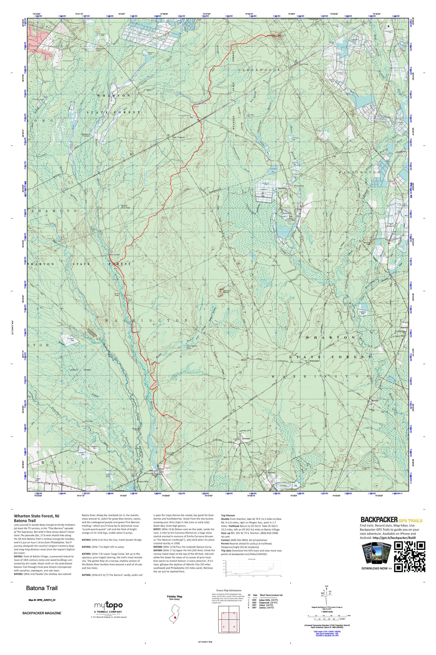
Batona Trail Map (New Jersey)
Couldn't load pickup availability
A special Backpacker Magazine topo map printed on waterproof, tearproof paper. Includes topographic map data from the USGS and detailed trip information
Lose yourself in woods deep enough to terrify mobsters (at least the TV version, in the “Pine Barrens” episode of The Sopranos). But wild in New Jersey doesn’t mean hard: The pancake-flat, 17.6-mile shuttle hike along the 50-mile Batona Trail is mellow enough for newbies, and it’s just an hour’s drive from Philadelphia. You’ll journey alongside the country’s largest cranberry bogs and snag long-distance views from the region’s highest fire tower. Map includes turn-by-turn hiking directions and in-depth trip planning essentials to help you experience this BACKPACKER PRO adventure.
Contains the following named locations: 08019,Apple Pie Hill,Apple Pie Hill Forestry Lookout Tower,Bard Branch,Batsto,Batsto Dam,Batsto Forestry Lookout Tower,Batsto Lake,Batsto Post Office,Batsto-Pleasant Mills United Methodist Church,Bulls Branch,Bulltown,Carranza Memorial,Chatsworth,Chatsworth Elementary School,Chatsworth Lake,Chatsworth Lake Dam,Chatsworth Methodist Church,Chatsworth Post Office,Chatsworth Volunteer Fire Company 1,Chatsworth Woods,Deep Run,Eagle,Featherbed Branch,Friendship,Friendship Cranberry Bogs,Great Swamp,Gun Branch,Hampton Furnace,Hampton Gate,Hampton Station,High Crossing,Hilda S Frame School,Hospitality Brook,Jemima Mount,Jenkins Neck,Little Hauken Run,Lower Forge,Mannis Duck Pond,Maxwell,Mile Run,Mount,Nesco,Nesco Census Designated Place,Nesco School,Nesco Volunteer Fire Company,Nescochague Creek,New Columbia-Nesco United Methodist Church,Ore Spung,Penn Swamp,Penn Swamp Branch,Penn Swamp Pond,Pine Crest,Pleasant Mills,Pole Branch,Quaker Bridge,Roberts Branch,Rockwood,Sandy Ridge,Shane Branch,Shoal Branch,Skit Branch,Sleeper Branch,Speedwell,Springers Brook,Stormy Hill,Township of Tabernacle,Township of Washington,Tulpehocken Creek,Tylertown,Washington,Woodland Township Municipal Building,Woodlawn Cemetery


