MyTopo
Longs Peak via Clarks Arrow Map (Rocky Mountain NP, Colorado)
Couldn't load pickup availability
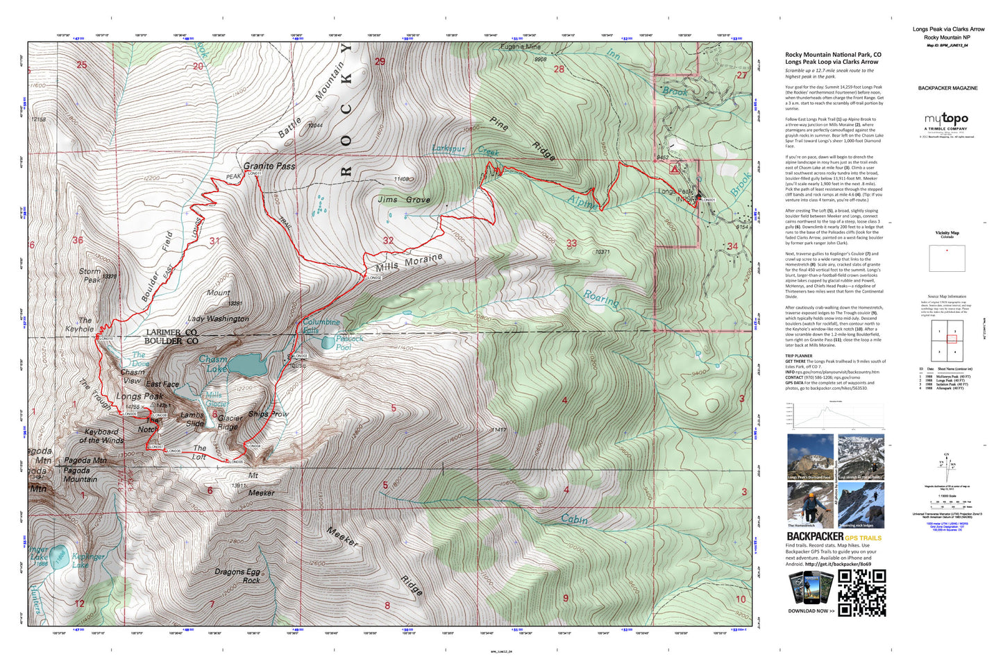
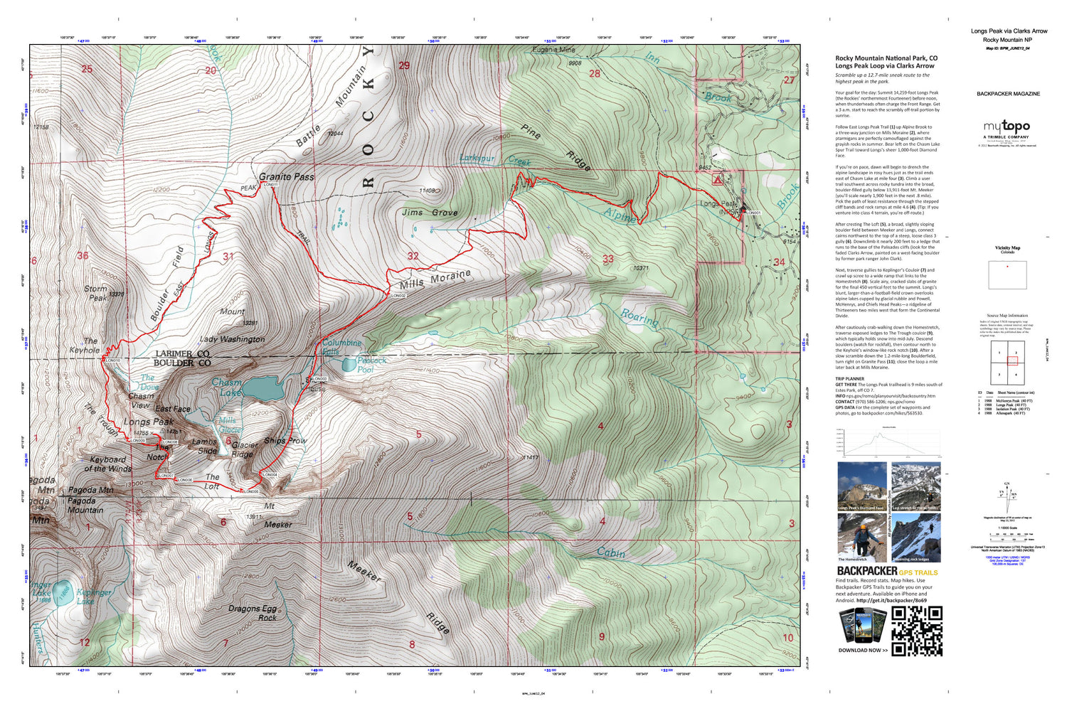
A special Backpacker Magazine topo map printed on waterproof, tearproof paper. Includes topographic map data from the USGS and detailed trip information
Scramble up a 12.7-mile sneak route to the highest peak in the park. Your goal for the day: Summit 14,259-foot Longs Peak (the Rockies’ northernmost Fourteener) before noon, when thunderheads often charge the Front Range. Get a 3 a.m. start to reach the scrambly off-trail portion by sunrise. Longs’s blunt, larger-than-a-football-field crown overlooks alpine lakes cupped by glacial rubble and Powell, McHenrys, and Chiefs Head Peaks—a ridgeline of Thirteeners two miles west that form the Continental Divide. This map is printed on waterproof expedition paper and includes turn-by-turn hiking directions, in-depth trip planning essentials, and Lat/Long Tics plus UTM Tics for in-field navigation
Contains the following named locations: Agnes Vaille Memorial Shelter,Battle Mountain,Blue Lake,Boulder Field,Chasm Lake,Chasm View,Columbine Falls,Dragons Egg Rock,East Face,East Longs Peak Trail,Eugenia Mine,Glacier Ridge,Granite Pass,Green Lake,Half Mountain,Horsetooth Peak,Jims Grove,Keplinger Lake,Keyboard of the Winds,Lambs Slide,Larkspur Creek,Long Peak Trail,Longs Peak,Longs Peak Campground,Longs Peak Ranger Station,Meeker Ridge,Mills Glacier,Mills Moraine,Moore Park,Mount Lady Washington,Mount Meeker,Pagoda Mountain,Peacock Pool,Pine Ridge,Shelter House,Ships Prow,Storm Peak,The Dove,The Keyhole,The Loft,The Notch,The Trough


