MyTopo
Heart Lake and Mt. Sheridan Map (Yellowstone NP, Wyoming)
Couldn't load pickup availability
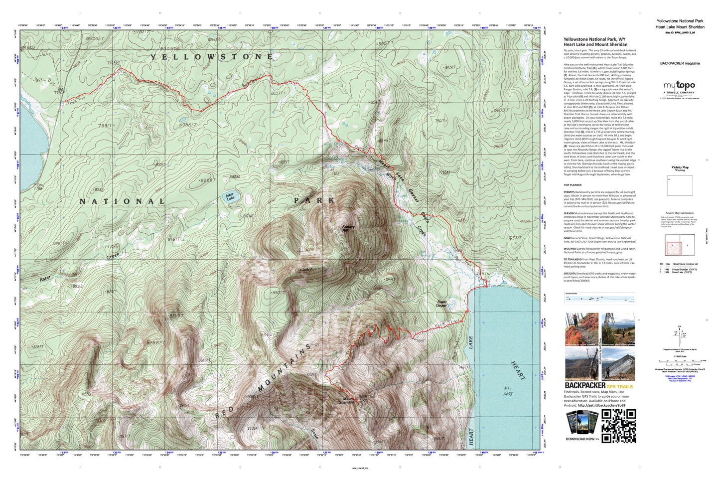
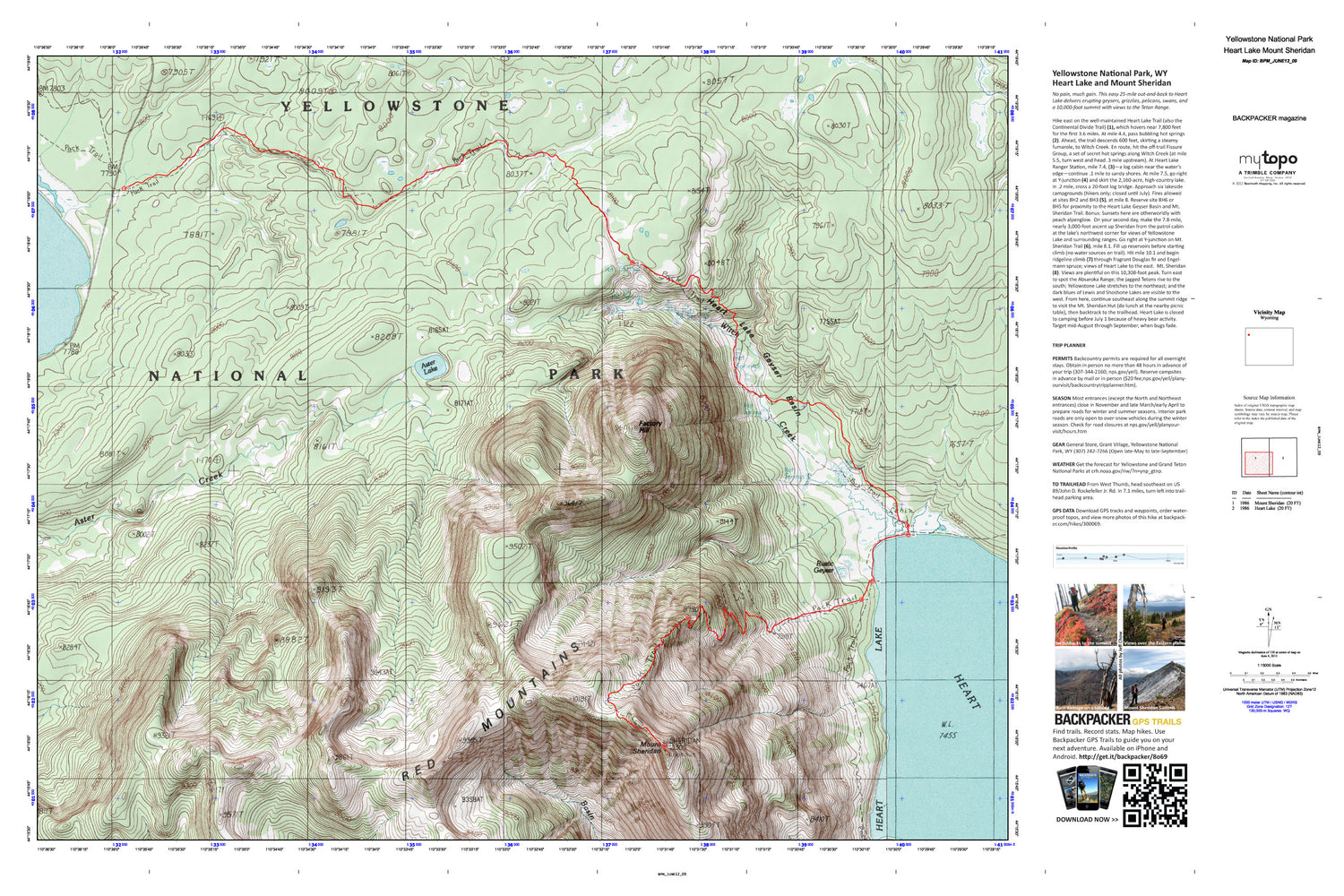
A special Backpacker Magazine topo map printed on waterproof, tearproof paper. Includes topographic map data from the USGS and detailed trip information
Experience the rugged side of Yellowstone on this two-day, 23.1-mile backpack. You'll track past steaming creeks and old-growth lodgepole on the way to a campsite near Heart Lake's rocky shoreline. On day two, rise early for the 2,800-foot climb to Mt. Sheridan's 10,308-foot crown. Map includes turn-by-turn hiking directions and in-depth trip planning essentials to help you experience this BACKPACKER PRO adventure.
Contains the following named locations: Aster Lake,Columbia Spring,Deluge Geyser,Dogshead Creek,Double Spring,Factory Hill,Heart Lake,Heart Lake Geyser,Heart Lake Geyser Basin,Heart Lake Geyser Basin - Middle Group,Heart Lake Geyser Basin - Rustic Group,Heart Lake Geyser Basin - Upper Group,Heart Lake Patrol Cabin,Heart Lake Trail,Mount Sheridan,Mount Sheridan Trail,Prometheus Spring,Rustic Creek Spring,Rustic Geyser,South Entrance Trail,Witch Creek


