MyTopo
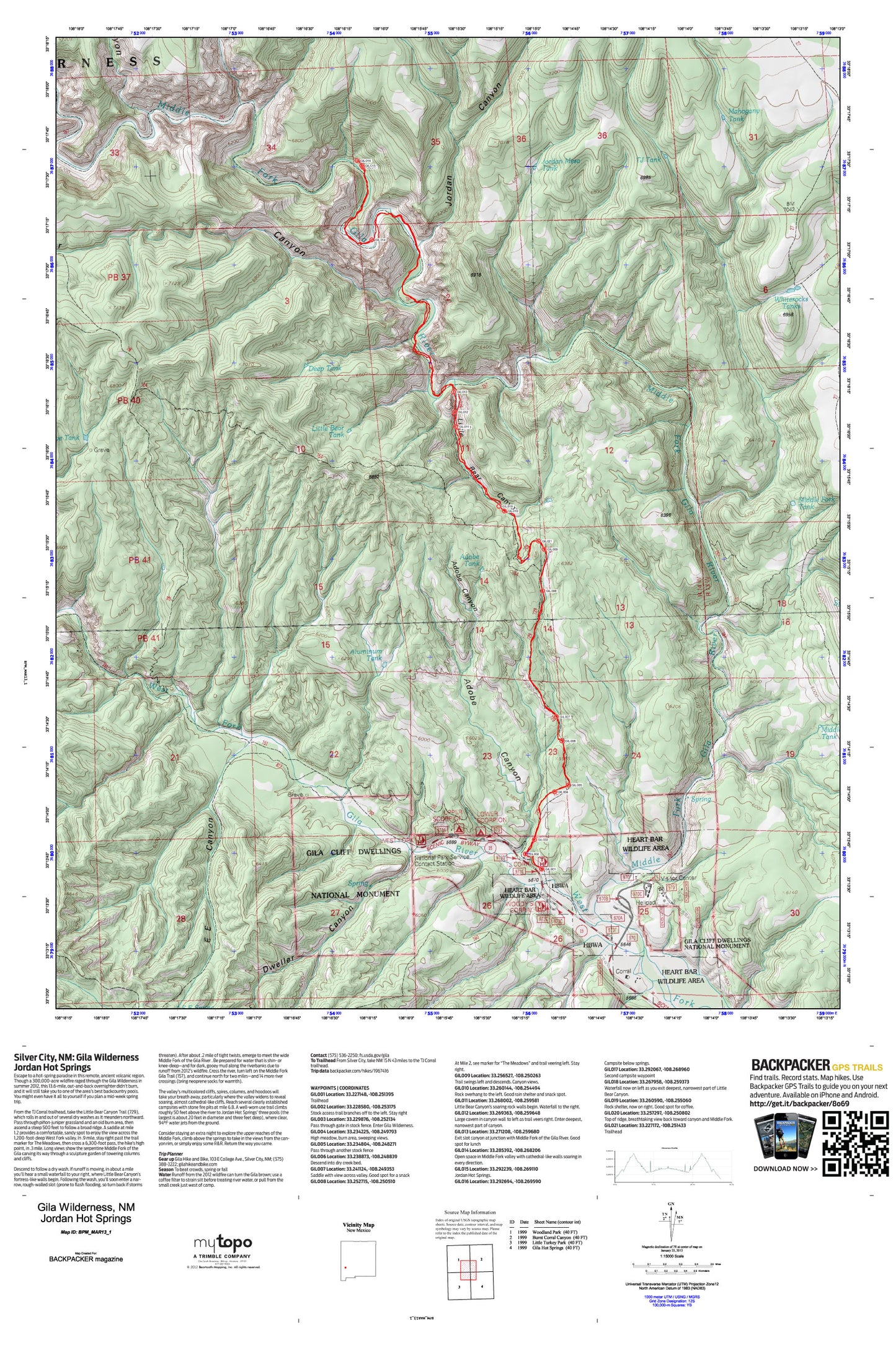
Jordan Hot Springs Map (Gila Wilderness, New Mexico)
Couldn't load pickup availability
A special Backpacker Magazine topo map printed on waterproof, tearproof paper. Includes topographic map data from the USGS and detailed trip information
Escape to a hot-spring paradise in this remote, ancient volcanic region. Though a 300,000-acre wildfire raged through the Gila Wilderness in summer 2012, this 13.6-mile, out-and-back overnighter didn’t burn, and it will still take you to one of the area’s best backcountry pools. You might even have it all to yourself if you plan a mid-week spring trip. Map includes turn-by-turn hiking directions and in-depth trip planning essentials to help you experience this BACKPACKER PRO adventure.
Contains the following named locations: Adobe Canyon,Adobe Tank,Aluminum Tank,Antelope Corral,Antelope Tank,Big Bear Canyon,Brothers West Canyon,Cliff Dweller Canyon,Deep Tank,E E Canyon,E E Spring,Geothermal Test Well,Gila Cliff Dwellings National Monument,Gila Vistors Center,Grave Canyon,Grave Tank,Grudging Cabin,GSF-2277 Water Well,GSF-2278 Water Well,GSF-2279 1 Water Well,GSF-2343 Water Well,House Log Canyon,Jordan Canyon,Jordan Mesa Tank,Little Bear Canyon,Little Bear Tank,Mahogany Tank,Middle Fork Gila River,Middle Fork Tank,National Park Service Visitor Center,North Mesa,Rock Tank,Scorpion Corral Campground,TJ Tank,Whiterocks,Whiterocks Tanks,Wilderness District Ranger Office


