MyTopo
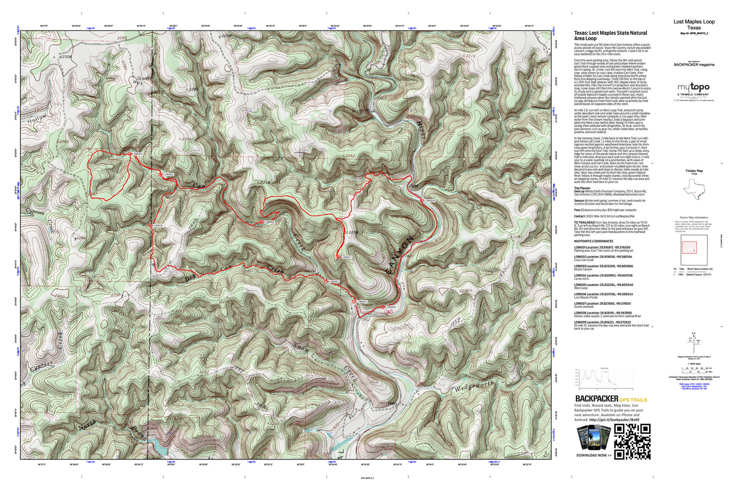
Lost Maples Natural Area Map (San Antonio, Texas)
Couldn't load pickup availability
A special Backpacker Magazine topo map printed on waterproof, tearproof paper. Includes topographic map data from the USGS and detailed trip information
Warm up for hiking season with a mellow escape to a maze of limestone plateaus. This small park just 90 miles from San Antonio offers a quick-access pocket of classic Texas Hill Country, includ-ing wooded canyons, craggy bluffs, and gentle streams. Cover it all in an easy weekend on this 10.4-mile route. Map includes turn-by-turn hiking directions and in-depth trip planning essentials to help you experience this BACKPACKER PRO adventure.
Contains the following named locations: Can Creek,Dry Can Creek,Lost Maples State Natural Area,Lost Maples State Natural Area Trails,Marler Creek,North Prong Marler Creek,Snow Creek,South Prong Marler Creek,Wedgeworth Creek


