MyTopo
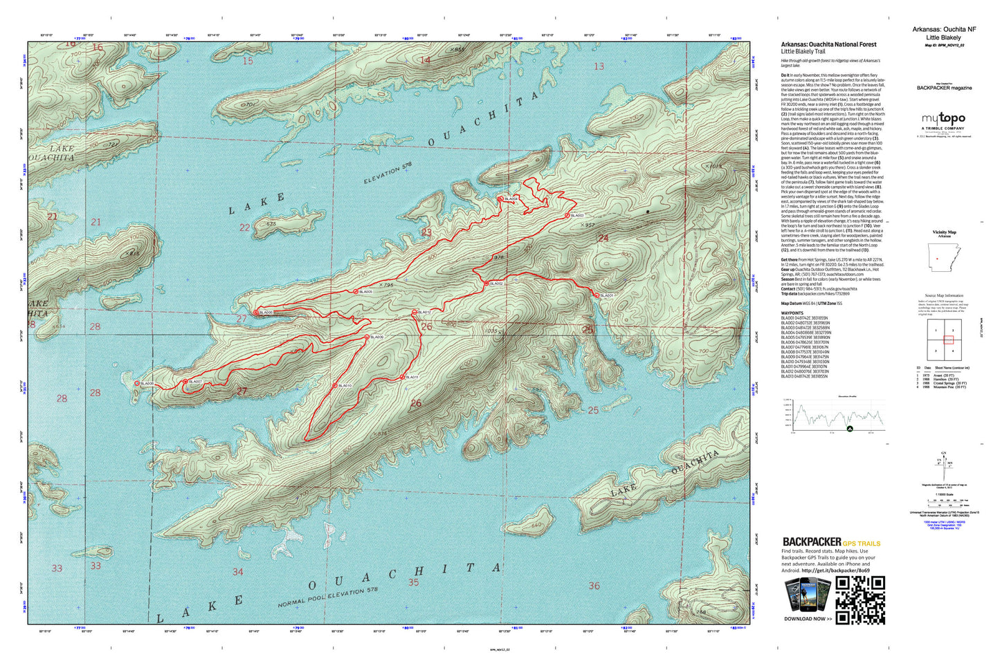
Little Blakely Trail Map (Ouchita National Forest, Arkansas)
Regular price
$30.00
Regular price
Sale price
$30.00
Unit price
per
Couldn't load pickup availability
A special Backpacker Magazine topo map printed on waterproof, tearproof paper. Includes topographic map data from the USGS and detailed trip information
Hike through old-growth forest to ridgetop views of Arkansas’s largest lake. Map includes turn-by-turn hiking directions and in-depth trip planning essentials to help you experience this BACKPACKER PRO adventure.
Contains the following named locations: Lake Ouachita State Park,Mill Creek,Township of Hale