MyTopo
Chesler Park to Salt Creek Canyon Map (Canyonlands NP, Utah)
Couldn't load pickup availability
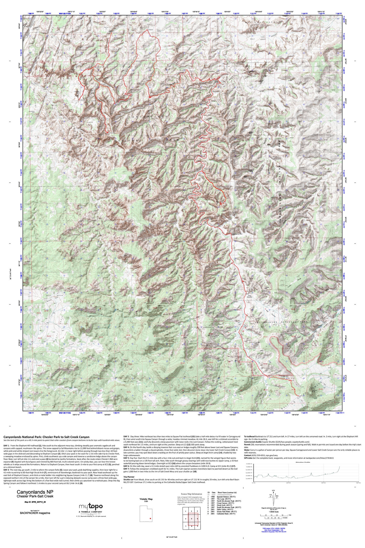
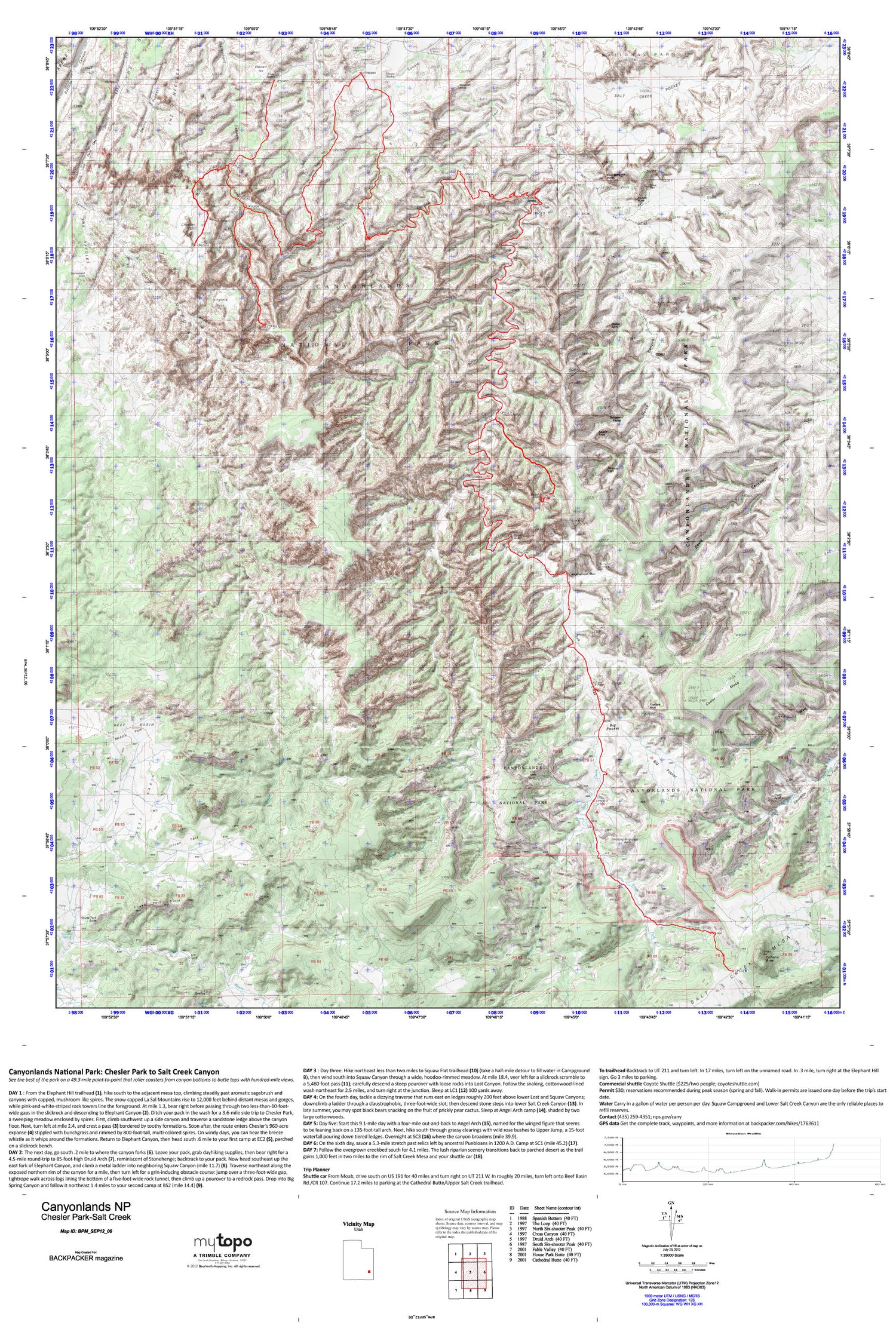
A special Backpacker Magazine topo map printed on waterproof, tearproof paper. Includes topographic map data from the USGS and detailed trip information
Hit up the park’s highlights—slickrock scrambles, mesa-top views, and hoodoo-dotted canyons—on this seven-day trek. Pass by ancient Pueblo ruins, and hike spur trails leading to towering arches, in the process experiencing the best of the park's scenery. Map includes turn-by-turn hiking directions and in-depth trip planning essentials to help you experience this BACKPACKER PRO adventure.
Contains the following named locations: Anchor Arch,Angel Arch,Big Pocket,Canyonlands National Park Needles Fire District,Castle Arch,Cathedral Butte,Cathedral Point,Cedar Mesa,Chesler Park,Cleft Arch,Devils Canyon,Devils Lane,Devils Pocket,Druid Arch,East Fork Salt Creek,Elephant Hill,Fisheye Arch,Fortress Arch,Gothic Arch,Gunsight Natural Bridge,Horse Canyon,Horsehoof Arch,House Park,House Park Butte,Joint Trail,Kirk Arch,Kirk Cabin,Kirk Fence,Kissing Cows,Lavender Point,Long Arch,Lost Canyon,Middle Park,Natural Arch,Natural Bridge,Paul Bunyans Potty,Peekaboo Spring,Pothole Point,S.O.B. Hill,Salt Creek Pocket,Soda Spring,Squaw Canyon,Squaw Flat Campground,Squaw Spring,The Needles,The Needles Ranger Station,Thirteen Faces,Trail Arch,Tse Nizh'oni-Stellar Arch,Upper Jump,Virginia Park,Wedding Ring Arch,West Fork Salt Creek,Wooden Shoe


