MyTopo
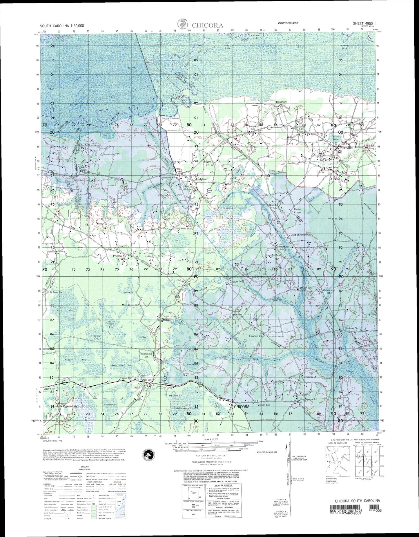
Chicora South Carolina Military 1:50,000 Map
Couldn't load pickup availability
This 1:50,000 scale military topo map of Chicora is in the state of South Carolina. Printed in 1942 by the United States Geological Survey (USGS) and produced by the National Geospatial-Intelligence Agency (NGA)/Defense Mapping Agency, it is designed for precision and durability in various field conditions.
It offers detailed topographical information suitable for tactical planning and navigation. The Military Grid Reference System (MGRS) grids are clearly printed with numbers across the map.
Optimized for use in low-light conditions, it is red light readable to preserve night vision. We print on waterproof and tearproof paper, ensuring that it remains intact and legible even in harsh weather conditions. This MyTopo map is an indispensable tool for operating in diverse environments.