MyTopo
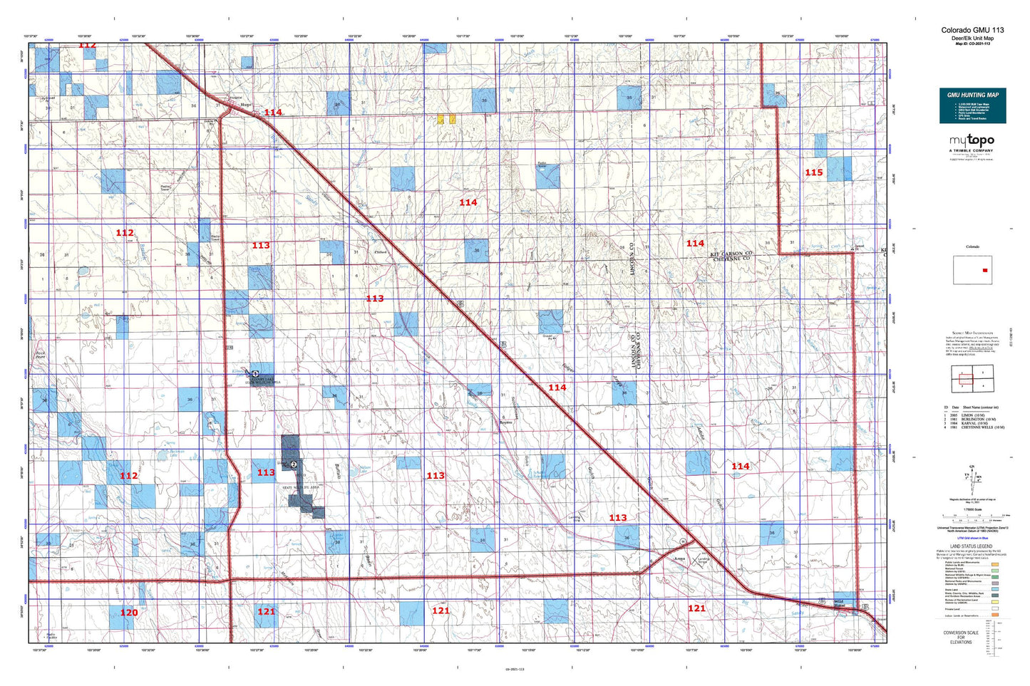
Colorado GMU 113 Map
Couldn't load pickup availability
Hunting unit map of Colorado Game Management Unit 113 with topographic lines and unit boundaries. This topo map features UTM / MGRS and Latitude/Longitude grids, plus public land ownership. It comes folded on waterproof paper. Be fully prepared for your hunt with a MyTopo GMU map!.
This map contains the following named places: 80821,80862,Adobe Gulch,Apache Creek,Aroya,Aroya Cemetery,Aroya Gulch,Beckman Lake,Bledsoe Ranch,Boyero,Boyero Cemetery,Clifford,Clifford Cemetery,Clingingsmith Number 2 Dam,Clingingsmith Number 2 Reservoir,Coon Creek,Folger Gulch,Hugo Division,J O D Ranch,Kinney Lake,L G Kinney Dam,Liberty Cemetery,Lincoln County,Lofdahl Springs,Long Branch,Middle Rush Creek,Nelson Lake,Rock Point,Schafer Reservoir,Schoolhouse Gulch,Sevenmile Creek,Smoky Hill Trail,T-Cross Ranch,Wareland,West Sevenmile Creek