MyTopo
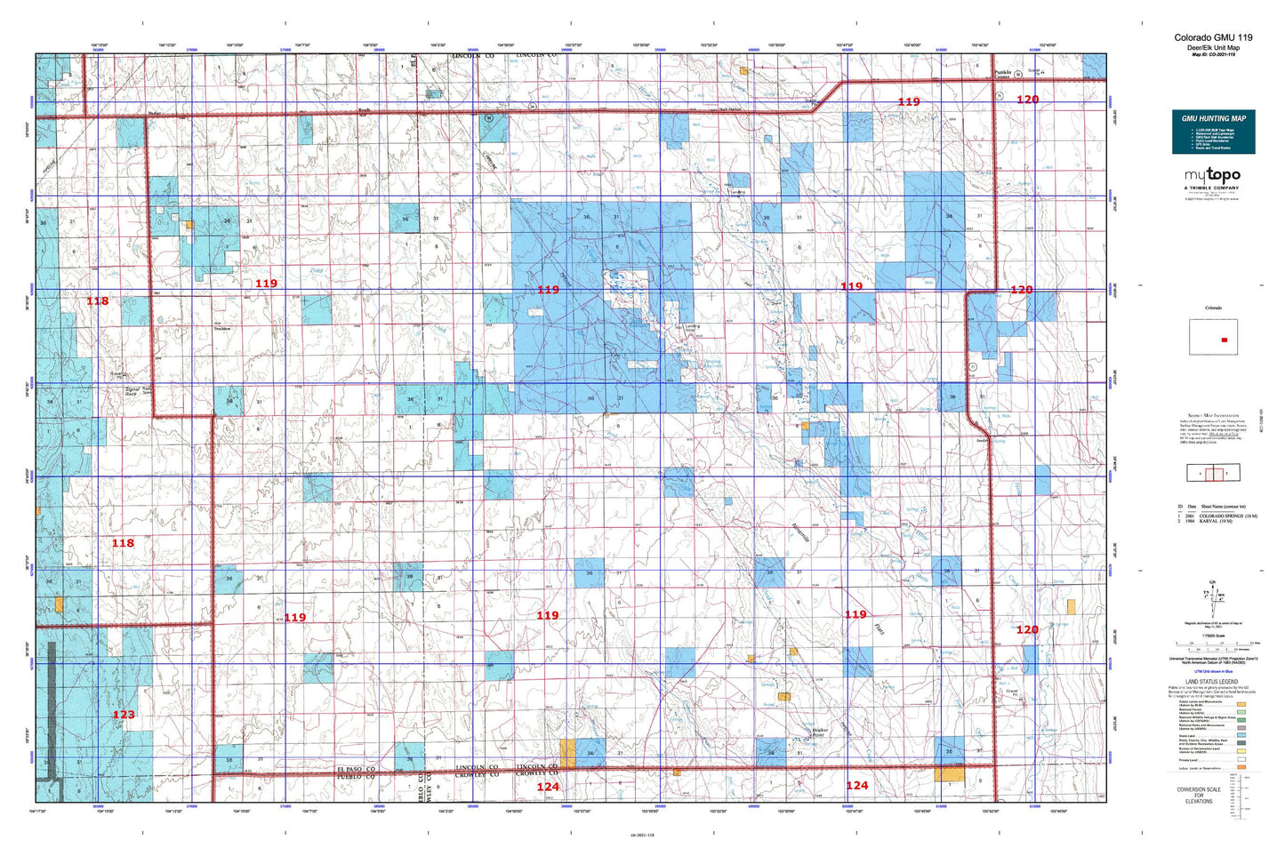
Colorado GMU 119 Map
Couldn't load pickup availability
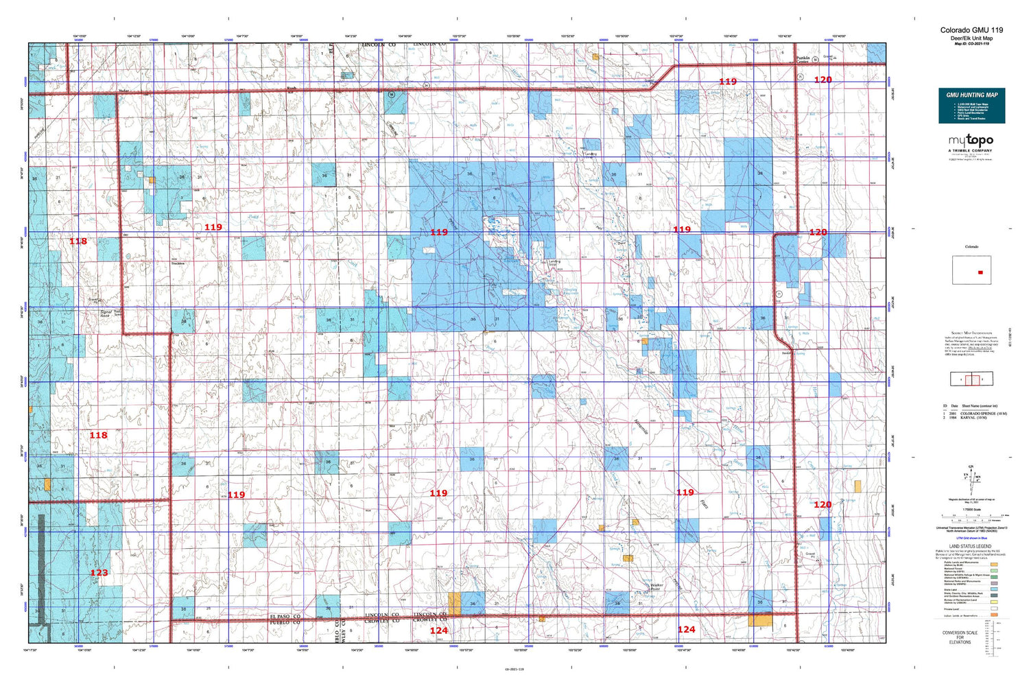
Hunting unit map of Colorado Game Management Unit 119 with topographic lines and unit boundaries. This topo map features UTM / MGRS and Latitude/Longitude grids, plus public land ownership. It comes folded on waterproof paper. Be fully prepared for your hunt with a MyTopo GMU map!.
This map contains the following named places: 80833,80864,Andy Windmill,Antioch Cemetery,Brett Gray Dam,Brett Gray Ditch Number 1,Brett Gray Reservoir,Cockleburr Springs,Crescent Cemetery,Douglas Ditch,Douglas Reservoir,East Branch Steels Fork,Edison School,Edison Volunteer Fire Department,Foxx Valley Airport,KCCY-FM (Pueblo),Kirkland Cemetery,Kuester Dam,Kuester Reservoir,Leader Church Cemetery,Liberty Bell Cemetery,Llader Church,Lone Memorial,Love Ranch,Ninemile Flats,Pats Draw,Peace Valley,Pond Creek,Rube Cemetery,Saint Lukes Cemetery,Sanborn Reservoir,Seldom Ridge Draw,Signal Rock,Spring Hill Cemetery,Terra Firma Airport,Truckton,Walker Point,West Branch Steels Fork Horse Creek


