MyTopo
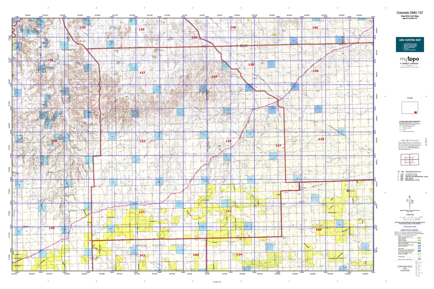
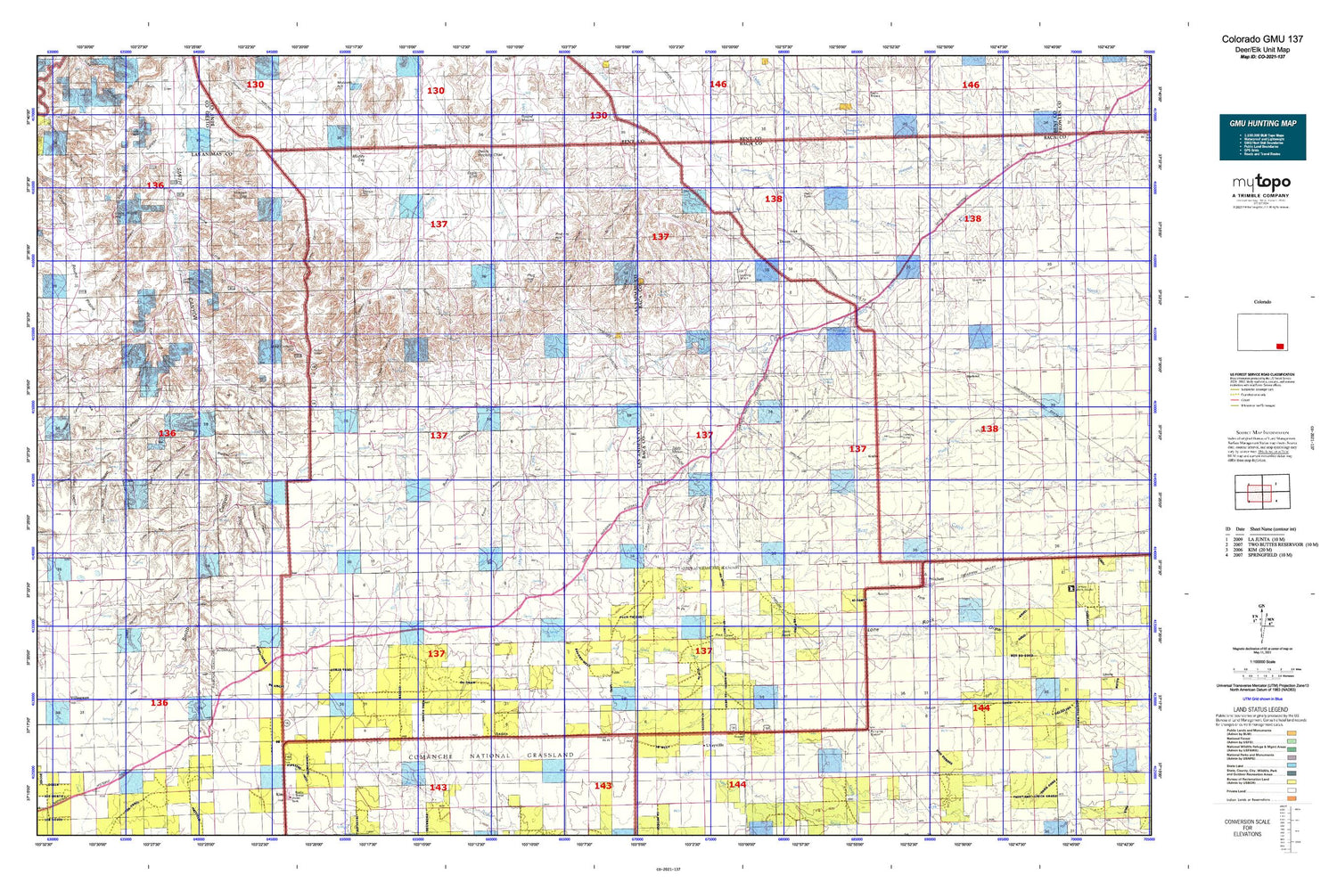
Colorado GMU 137 Map
Couldn't load pickup availability
Hunting unit map of Colorado Game Management Unit 137 with topographic lines and unit boundaries. This topo map features UTM / MGRS and Latitude/Longitude grids, plus public land ownership. It comes folded on waterproof paper. Be fully prepared for your hunt with a MyTopo GMU map!.
This map contains the following named places: 81049,Alexander Mesa,Alkali Holes,Alkali Spring,Alum Spring,Andrix,Andrix Cemetery,Antelope Draw,Antelope Springs,Arrasmith Draw,Atlanta,Aunt Jane Canyon,Barber Windmill,Blacktail Canyon,Brookfield,Brown Canyon,Brown Spring,Buck Canyon,Bunker Hill School,Burro Arroyo,Burton Canyon,Cahill Canyon,Camp Windmill,Carl Sammons Division Dam,Carl Sammons Division Reservoir,Cat Canyon,Cedar Edge School,Cedar Hill,Cedar Hill Cemetery,Cedar Hill School,Cedar Pen Canyon,Cedar View School,Chapel Hill Cemetery,Chapman Canyon,Chapman Spring,Cherry Canyon,Clardy Ranch,Clark Hill,Clay Ranch,Cottonwood Crossing,Cottonwood School,Dave Wright Hill,Deadman Canyon,Deora,Devils Rocking Chair,Dinner Branch,Dry Creek School,Dugout Creek,Dunbar Dam,Eagle Cliff,East Maverick Canyon,Edenview Cemetery,Fan Top Tree,Freezeout Creek,Frick,Fritz Spring,Funk Reservoir,Gant Arroyo,Gatlin Waterhole,Glover Spring,Goat Ranch Dam,Goat Ranch Spring,Gowens Canyon,Graft,Granada - Fort Union Route of Santa Fe National Historic Trail,Grape Canyon,Grape Spring,Green Windmill,H Heart Ranch,Hackberry Springs,Harbord,Horse Canyon,Icehouse Canyon,Irwin Canyon,Israel Store,January Spring,Johnny Branch Mine,Kim Division,Kim Hill,Lawson Reservoir,Lindsey Canyon,Little Cedar Pen Canyon,Little Mustang Creek,Lone Mesa,Lone Rock,Long Canyon,Long Canyon Hill,Lost Canyon,Matthews Canyon,Maxey Cemetery,Maxey Church,McAfee Godwin Vega,McEndree Ranch,Miller Canyon,Muddy Gap,Murray Place,Mustang Creek,Nelson Hill,North Deadman Canyon,North Fork Lone Rock Draw,Northwest Dam,O U Creek,Officer Canyon,O'Hair Spring,Pinkney Hill,Pinon Canyon,Pinon Park,Pinon Park Hill,Platt Ranch,Platte Ranch Heliport,Plug Hat,Plug Hat Ranch,Plum Creek Stock Dam,Plum Creek Stock Reservoir,Plum Valley,Prairie Queen Cemetery,Prichett,Pritchett,Pritchett Cemetery,Pritchett Division,Pritchett Fire Department,Pritchett Post Office,Reed Dam,Road Dam,Road Draw,Robb Cemetery,Robb School,Robbers Roost Canyon,Rough Canyon,Round Prairie,S Crossing,Shell Canyon,Shell Rock Canyon,Sherman Canyon,Sidehill Canyon,Sidehill Spring,Smith Windmill,Snake Arroyo,Snake Canyon,Soldier Canyon,Soldier Creek,Soldier Spring,South Deadman Canyon,Spring Canyon,Stinking Hole Canyon,Sumpter Windmill,Table Mesa,Tafoya Canyon,The Chimneys,The Windsplitter,Town of Pritchett,Tract 1828 Dam,Tract 1828 Reservoir,Turkey Spring,Turkey Spring Canyon,Twentymile Waterhole,Twin Springs,Twin Windmills,Utleyville,Valley View School,Villegreen,Wagon Gap,Walker Canyon,Watt Spring,West Maverick Canyon,Willow Spring,Yeiser Canyon


