MyTopo
Colorado GMU 201 Map
Couldn't load pickup availability
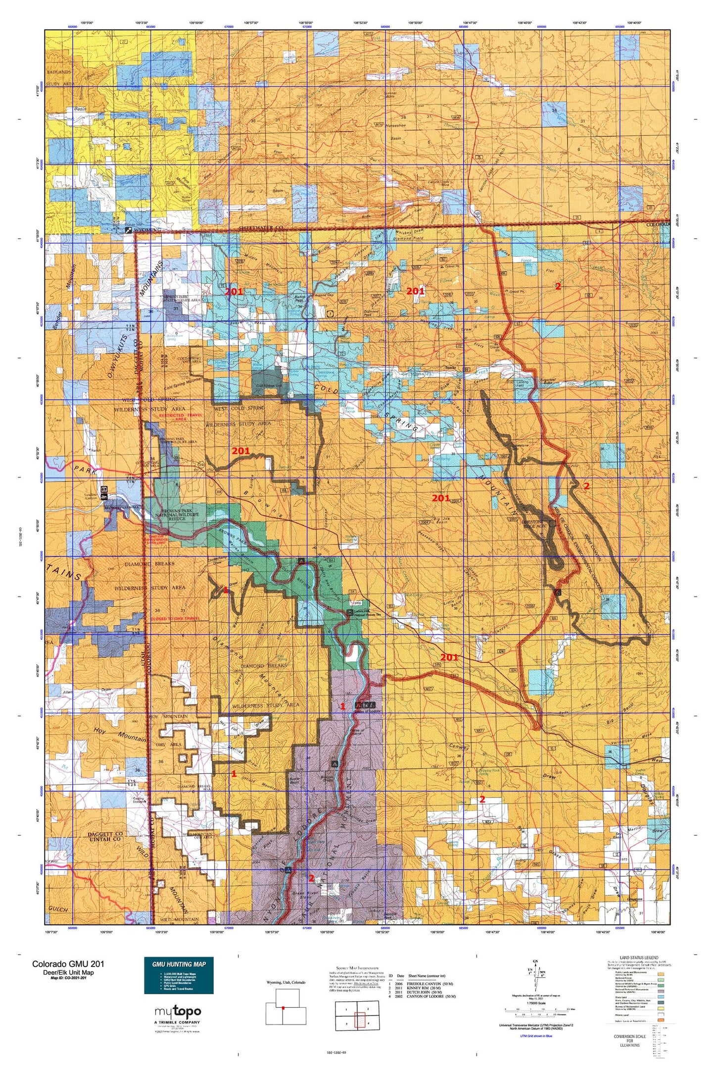
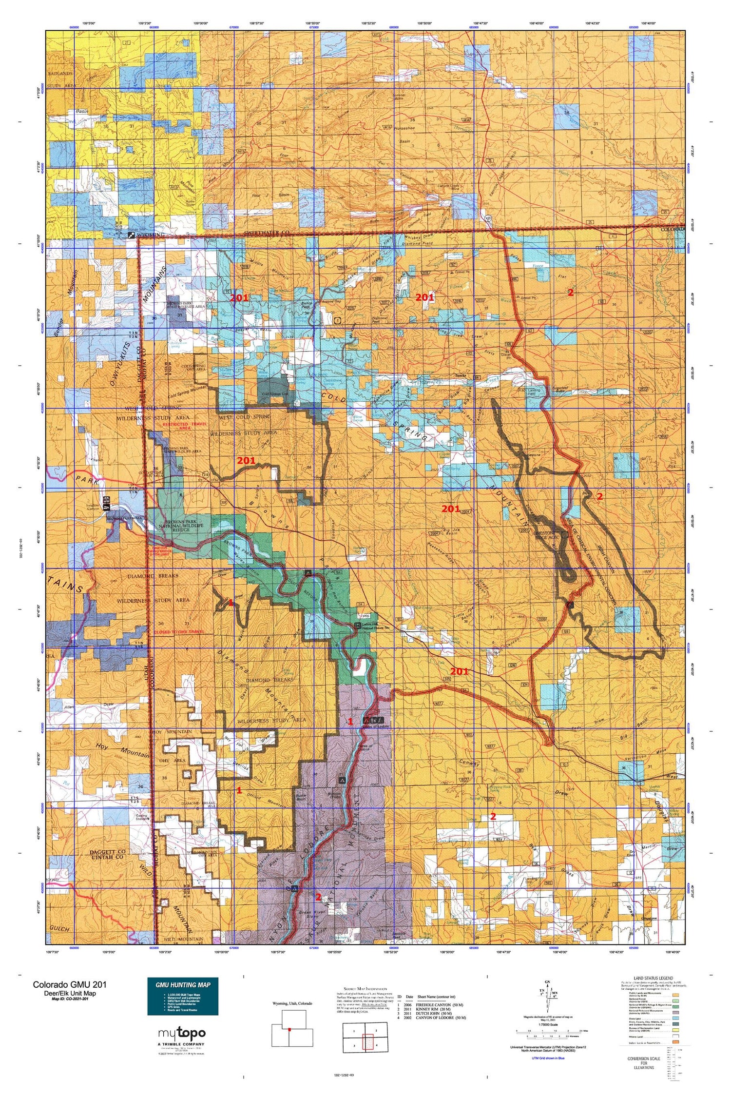
Hunting unit map of Colorado Game Management Unit 201 with topographic lines and unit boundaries. This topo map features UTM / MGRS and Latitude/Longitude grids, plus public land ownership. It comes folded on waterproof paper. Be fully prepared for your hunt with a MyTopo GMU map!.
This map contains the following named places: Airborne Anomalous Area 57-10,Airborne Anomaly 56-10 Mine,Airborne Anomaly 56-11 Mine,Airborne Anomaly 56-9 Mine,Alkali Springs,Allen Bottom,Allen Draw,Antelope Spring,Antone Canyon,Antone Gap,Arthurs Reservoir,Bar Creek,Basset Number 2 Dam,Basset Reservoir Number 2,Bassett Cemetery,Bassett Spring,Bear Spring,Beaver Basin,Beaver Creek,Big Bend Draw,Big Draw,Big Joe Basin,Big Spring,Birdie Gulch,Bishop Peak,Black Ridge,Blue Hill,Bobs Spring,Browns Park,Browns Park National Wildlife Refuge,Browns Park School,Browns Park Waterfowl Management Area,Buck Basin,Buck Draw,Buck Knoll,Buckley Cow Camp,Buffham Place,Bull Canyon,Bull Trail,Buster Basin,Calloway Place,Canyon Creek,Canyon Creek Camp,Canyon Creek Gas Field,Canyon Creek Mine,Canyon Creek Ranch,Carr Place,Chicken Spring,Choke Cherry Draw,Chokecherry Draw,Cold Spring,Cold Spring Mountain,Conway Draw,Cottonwood Springs,Coyote Creek,Coyote Spring,Craig Draw,Craig Place,Crouse Canyon,Crouse Creek,Crumb Canyon,Davis Draw,Deerlick Draw,Diamond Field,Diamond Field Draw,Diamond Mountain,Diamond Peak,Douglas Draw,Dripping Rock Spring,Dry Creek,Dummy Bottom,Ecklund Cabin,Elk Meadow,Elk Ranch,Elk Springs,Fish Reservoirs,Fisher Creek,Flynn Bottom,Flynn Bottom Ditch,Fonce Flat,Fonce Lake,Fonce Wash,Fondillos Draw,Four J Basin,Four J Rim,G Flats,G Lake,G Meadows,G Wash,Galloway Creek,Gates of Lodore,George Draw,Goat Spring,Goodman Gulch,Graham Ranch,Green Canyon,Grimes Bottom,Guy Rife Ranch,Hanging Tree Draw,Harry Holy Bottom,Hog Lake,Honeymoon Spring,Horseshoe Basin,Horseshoe Spring,Hoy Draw,Hoy Flat,Hoy Mountain,Hoy Spring,Hoy Trail,Ink Spring Ranch,Irish Canyon,Irish Lakes,Jack Springs,Jack Springs Draw,Jim Spring,Joe Trail,John Erickson Dam,John Erickson Reservoir,Johnson Draw,Johnson Flats,JS Hoy Bottom,Jug Spring,Kleins Hill,Koskie Prospect,Limestone Gap,Limestone Ridge,Little Beaver Creek,Little Joe Basin,Lizzie Spring Creek,Lodore Ditch,Lodore Ranger Station,Lodore School,Mansfield Cabin,Marshall Draw Wildlife Management Area,Matt Creek,Matt Trail,McKnight Creek,McKnight Spring,Meadow Gulch Ranch,Middle Mountain,Miles Place,Miles Reservoir,Morales Spring,My Valley,Nelson Bottom,North Fork Vermillion Creek,NS Creek,Offield Dam,Offield Mountain,Offield Reservoir,O-Wi-Yu-Kuts Draw,O-Wi-Yu-Kuts Flats,O-Wi-Yu-Kuts Mountains,O-Wi-Yu-Kuts Spring,Owl Canyon,Pablo Spring,Peekaboo Ridge,Petes Place,Pine Claim,Pine Lake,Pine Mountain,Pine Mountain Area Mine,Richies Spring,Rocky Reservoir,Rye Grass Draw,Scofield Ranch,Scrivner Butte,Scrivner Canyon,Skeltcher Creek,Slippery Jim Spring,Sparks,Spitzie Bottom,Spitzie Draw,Spitzie Place,Spitzie Spring,Station Ranch,Sterling Place,Sterling Spring,Strong Spring,Sugarloaf Butte,Sugarloaf Camp,Summit Spring,Swallow Canyon,Swallow Canyon Raft Ramp,Swede Spring,Teds Draw,The Pines,Tittle Cabin,Tittle Reservoir,Two Bar Ranch,Two Bar Spring,Vermillion Creek,Wade and Curtis Cabin,Wallace Cabin,Warren Bottom,Warren Draw,Wash Spring,Watson Place,West Boone Draw,West End Spring,Whiskey Draw,Willow Creek,Willow Creek Butte,Willow Spring,Willow Springs,Wilson Place,Yellow Jacket Draw


