MyTopo
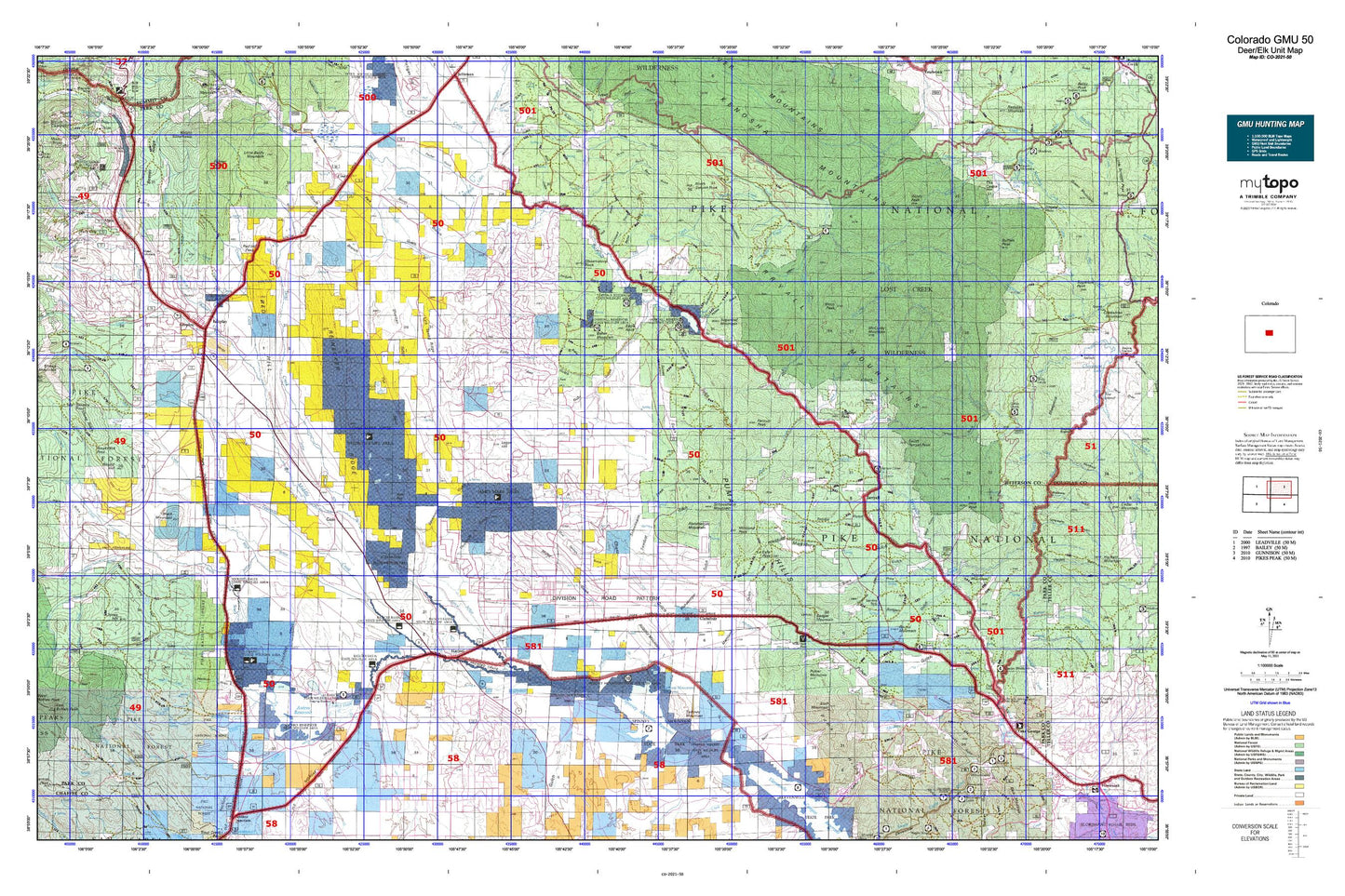
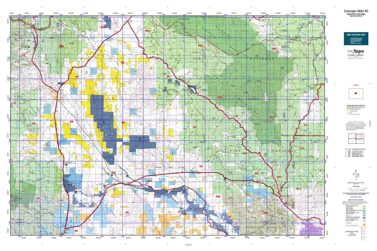
Colorado GMU 50 Map
Couldn't load pickup availability
Hunting unit map of Colorado Game Management Unit 50 with topographic lines and unit boundaries. This topo map features UTM / MGRS and Latitude/Longitude grids, plus public land ownership. It comes folded on waterproof paper. Be fully prepared for your hunt with a MyTopo GMU map!.
This map contains the following named places: 63 Ranch,A L Hill,Abell Ranch,Adamans Creek,Agate Creek,Allen Creek,Alma,Alma Junction,Almgren Tie Camp,Annex Ranch,Antero Reservoir,Antero Reservoir Recreation Area,Badger Mountain,Badger Spring Ranch,Baker Mountain,Bald Hill,Bancroft Ranch,Bar D Ranch,Bayou Salado Reservoir,Beaver Creek,Beaver Creek Campground,Beaver Dam Creek,Bison Mountain,Black Mountain,Blue Mountain Campground,Bonis Creek,Bordenville,Bradley Peak,Bristle Cone Pine Scenic Area,Bryan Ranch,Buckley Ranch,Buckskin Creek,Buckskin Joe,Buffalo Creek,Buffalo Creek Reservoir,Buffalo Peak,Buffalo Peaks,Buffalo Springs Campground,Buyer Ranch,Camp Alexander,Camp Alexander Reservoir,Cargill Ranch,Carruthers Ranch,Cave Creek,Circle V Bar Eightmile Ranch,Circle V Bar Line Camp,Circle V Bar Ranch,Clark Ranch,Cline Reservoir,Coil Ranch,Coleman Ranch,Collard Ranch,Colorado Springs Ranch,Colton Sheep Camp,Columbia Reservoir,Como,Como Lake,Cooper Creek,Crooked Creek,Cross Creek,Dudley,Dudley Ditch,Duguesne Smelter,Eagle Rock,East Buffalo Peak,East Fork Beaver Dam Creek,East Leadville,Elkhorn Community House,Elkhorn Ranch,Fairplay,Fairplay Division,Farnum Peak,Four Mile Campground,Fourmile Creek,Fourmile Ranch,Freeman Creek,Garo,Glentivar,Goose Creek Campground,Gooseberry Creek,Green Mountain Picnic Ground,Harrington Ranch,Hartsel,Hartsel Ranch,Haver,Hay Creek,Hayman,High Creek,Highfill Ranch,Holland,Horseshoe,Horseshoe Campground,Hot Springs,Hourglass Burn,Indian Creek,Indian Mountain Ski Area,J P Ranch,Jamestown Ranch,Jefferson Creek,Johnson Ranch,Johnston Ranch,Jones Hill,Kite Lake,Kite Lake Campground,Lake George,Lamb Mountain,Landis Ranch,Lazy River Ranch,Lewis Ranch,Link Creek,Little Baldy Mountain,Logan Hill,Long Park,Lost Creek,Lost Creek Wilderness,Lost Park Campground,Lost Park Cow Camp,Lynch Creek,Martland Peak,McCurdy Creek,McCurdy Mountain,McDowell Ranch,Michigan Campground,Michigan Creek,Middle Fork Salt Creek,Middle Fork South Platte River,Milligan Lakes,Monkey Creek,Moose Creek,Mosquito Creek,Mud Hill,Mullenville,No Name Creek,North Fork Lost Creek,North Fork Salt Creek,North Rolling Creek,North Tarryall Peak,Northup Lumber Camp,Observatory Rock,Old House Creek,Pabst-Howe Ranch,Paige Ranch,Palmer Peak,Paris Mill,Park City,Park County,Pennsylvania Creek,Pike National Forest,Pike-San Isabel Village,Pilot Peak,Pipe Springs Campground,Platte Ranch,Platte Springs,Playa Lakes,Pony Creek,Pulver Mountain,Quartzville Creek,Quelland Ranch,Reader Creek,Red Hill Ranch,Rich Creek,Rich Creek Campground,Richardson Number 1 Ranch,Richardson Number 2 Ranch,Rishaberger Mountain,Riverside Campground,Rock Creek,Rocker Seven Ranch,Rocking R Sky Ranch,Rogers Ranch,Rolling Creek,Rough and Tumbling Creek,Round Hill,Round Mountain,Sacramento,Sacramento Creek,Salt Creek,Salt Works Ranch,Sand Creek,Santa Maria Ranch,Sawmill Creek,Schoolmarm Mountain,Second Creek,Sheep Creek,Sheep Mountain,Sheep Park,Shoemate-Augustine Ranch,South Crooked Creek,South Fork Lost Creek,South Fork Salt Creek,South Fork South Platte River,South Mosquito Creek,South Park City Museum,South Tarryall Peak,Spinney Mountain,Spinney Mountain Reservoir,Spinney Ranch,Spring Creek,Spruce Campground,Spruce Grove Campground,State of Colorado,Stoll Mountain,Sugarloaf Mountain,Sulphur Mountain,Sylvania of the Rockies,Tappan Mountain,Tarryall,Tarryall Campground,Tarryall Reservoir,Temple Ranch,Thompson Park,Threemile Creek,Topaz Mountain,Town of Alma,Town of Fairplay,Trout Creek,Trout Creek Ranch,Turner Ranch,Twelvemile Club,Twelvemile Creek,Twelvemile Lake,Twin Eagles Picnic Area,Twin Eagles Trailhead,Ute Creek,Ute Creek Trailhead,Wahl Ranch,Warlings Ranch,Weber Ranch,Wellington Lake,West Buffalo Peak,Weston Pass Ranch,Wilkerson Pass Visitor Center,Willow Creek,Windy Peak,X Rock Campground


