MyTopo
Colorado GMU 501 Map
Couldn't load pickup availability
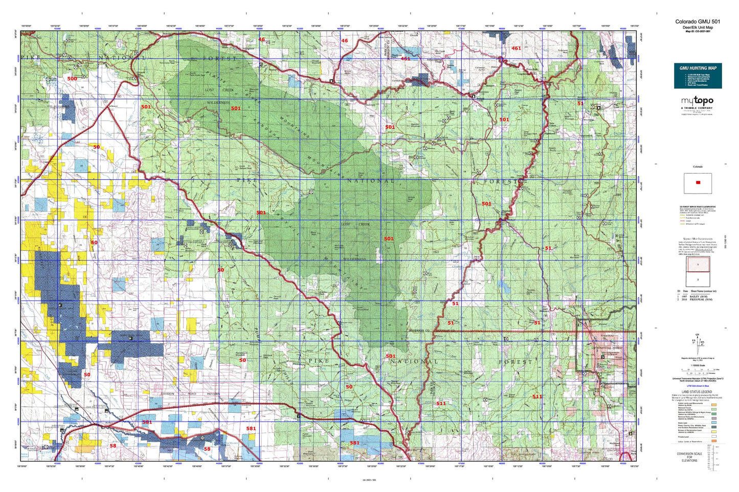
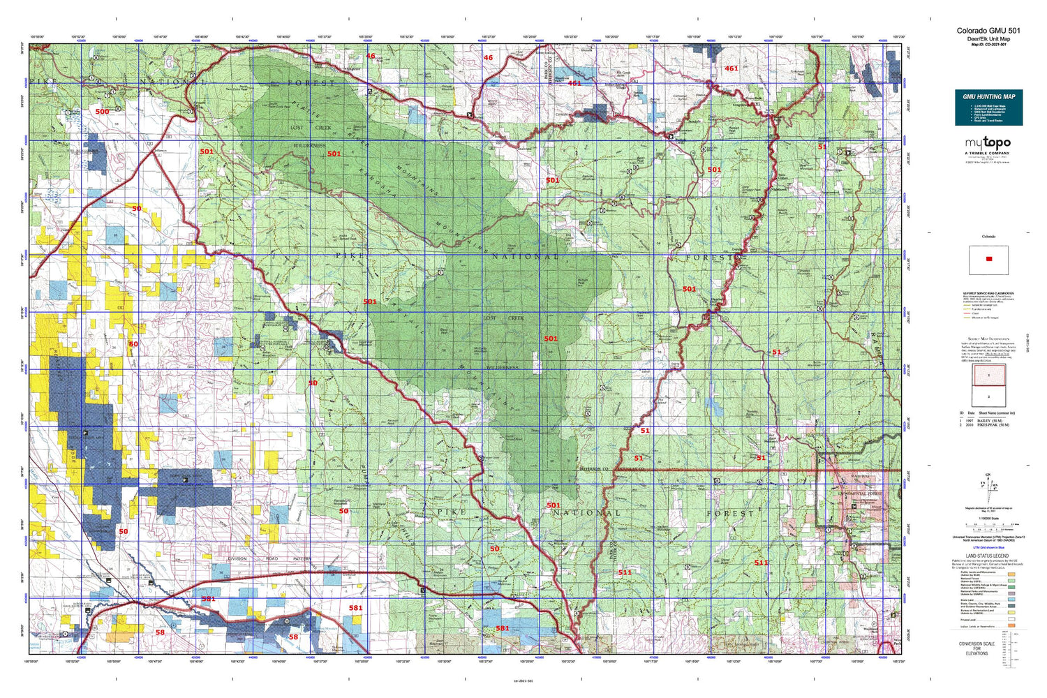
Hunting unit map of Colorado Game Management Unit 501 with topographic lines and unit boundaries. This topo map features UTM / MGRS and Latitude/Longitude grids, plus public land ownership. It comes folded on waterproof paper. Be fully prepared for your hunt with a MyTopo GMU map!.
This map contains the following named places: 74 Ranch,A L Hill,Annex Ranch,Badger Mountain,Badger Spring Ranch,Bailey,Bailey Camp Grounds,Baker Mountain,Baker Reservoir,Bald Hill,Baldy Peak,Bancroft Ranch,Bar D Ranch,Bayou Salado Reservoir,Beaver Creek,Bell Rock,Big Turkey Campground,Bison Mountain,Bonis Creek,Bordenville,Bradley Peak,Bridge Crossing Picnic Area,Brush Creek,Buffalo Creek,Buffalo Creek Campground,Buffalo Creek Work Center,Buffalo Peak,Cabin Creek,Cargill Ranch,Carruthers Ranch,Cedar Mountain,Cheesman Lake,Cheesman Mountain,Circle V Bar Eightmile Ranch,Cline Reservoir,Coleman Ranch,Collard Ranch,Colton Sheep Camp,Como,Como Lake,Craig Creek,Crossons,Crow Creek,Custer Cabins,Davis Overlook,Deckers,Deer Creek,Deluna Ranch,Dream Valley Ranch,Dudley Ditch,Eagle Rock,Elkhorn Community House,Elkhorn Ranch,Estabrook,F.H.L. Shopping Center,Fairplay Division,Farnum Peak,Ferndale,Fletcher Ranch,Flying G Ranch,Fourmile Creek,Fourmile Ranch,Freeman Creek,Fremont Knoll,Fremont School,Furman Ranch,Garo,Glentivar,Goose Creek Campground,Gooseberry Creek,Grandview Resort,Green Mountain,Green Mountain Picnic Ground,Guernsey Creek,Gunbarrel Creek,Hackett Mountain,Hamilton,Hartsel,Hayman,High Creek,Highfill Ranch,Hoder Recreation Reservoir,Hourglass Burn,Hy-Brook Ranch,Indian Creek,Indian Mountain Ski Area,Ingram Ranch,Insmont,Insmont Hill,J O Hill Reservoir,Jefferson,Jefferson Creek,Johnston Ranch,Kelsey Creek,Kenosha Mountains,Landis Ranch,Lazy River Ranch,Liesburg Homestead,Little Scraggy Peak,Logan Hill,Lone Rock Campground,Long Scraggy Peak,Long Scraggy Ranch,Lost Creek,Lost Creek Wilderness,Lost Park Campground,Lost Park Cow Camp,Lost Valley Ranch,Martland Peak,McCurdy Mountain,McDowell Ranch,Michigan Campground,Michigan Creek,Michigan Hill,Miller Ranch,Milligan Lakes,Molly Gulch Campground,Monkey Creek,Mud Hill,Nighthawk,No Name Creek,Noddle Heads,North Fork Lost Creek,North Rolling Creek,North Tarryall Peak,Northup Lumber Camp,Observatory Rock,Old House Creek,Old Phantom Creek Ranger Station,Oxyoke,Paige Ranch,Park County,Peabodys,Peterson Ranch,Pike National Forest,Pike-San Isabel Village,Pilot Peak,Pine Creek,Pipe Springs Campground,Platte River Campground,Platte River Picnic Area,Platte Springs,Playa Lakes,Pollock Ranch,Ponderosa Pine Campground,Portis Ranch,Quelland Ranch,Raleigh Peak,Redskin Creek,Redskin Mountain,Rideout Ranch,Rishaberger Mountain,Riverview,Roark Creek,Robinson Ranch,Rock Creek,Rock Creek Cow Camp,Rocker Seven Ranch,Rocking R Sky Ranch,Rolling Creek,Round Mountain,Saddle String Ranch,Santa Maria Ranch,Schattinger Homestead,Schattinger Ranch,Schoolmarm Mountain,Scraggy View Picnic Area,Shady Brook Camp,Shattinger Ranch,Shawnee Peak,Sheep Nose,Sheeprock,Sheppard Ranch,Shinglemill Creek,Shoemate-Augustine Ranch,Signal Butte,Sixmile Creek,Skull Rock,Slash 6 Ranch,Snow Water Springs,Snyder Creek,Soderstrom Ranch,South Fork Buffalo Creek,South Fork Lost Creek,South Jefferson Division,South Park Historical Monument,South Tarryall Peak,Spring Creek,Spruce Campground,Spruce Grove Campground,Steiner Ranch,Sugarloaf Mountain,Sugarloaf Peak,Sulphur Mountain,Sunnyside Ranch,Swayback Ranch,Sylvania of the Rockies,Tappan Mountain,Tarryall,Tarryall Campground,Tarryall Creek,Tarryall Reservoir,Teter Ranch,The Island,Thunder Butte,Top of the World Picnic Area,Top of the World Picnic Ground,Topaz Mountain,Trail Creek Campground,Tramway Campground,Trout Creek,Trout Creek Ranch,Trumbull,Turkey Rock,Turkey Rock Ranch,Turner Ranch,Twin Cedars,Twin Eagles Picnic Area,Twin Eagles Trailhead,Ute Creek Trailhead,Volz Homestead,Wahl Ranch,Warlings Ranch,Welch Sawmill,Wellington Lake,Westcreek,Westcreek Lake,Wigwam Campground,Wigwam Club,Wigwam Creek,Wildhorn Ranch,Wilkerson Pass Visitor Center,Willow Bend Picnic Area,Windy Peak,X Rock Campground


