MyTopo
Colorado GMU 68 Map
Couldn't load pickup availability
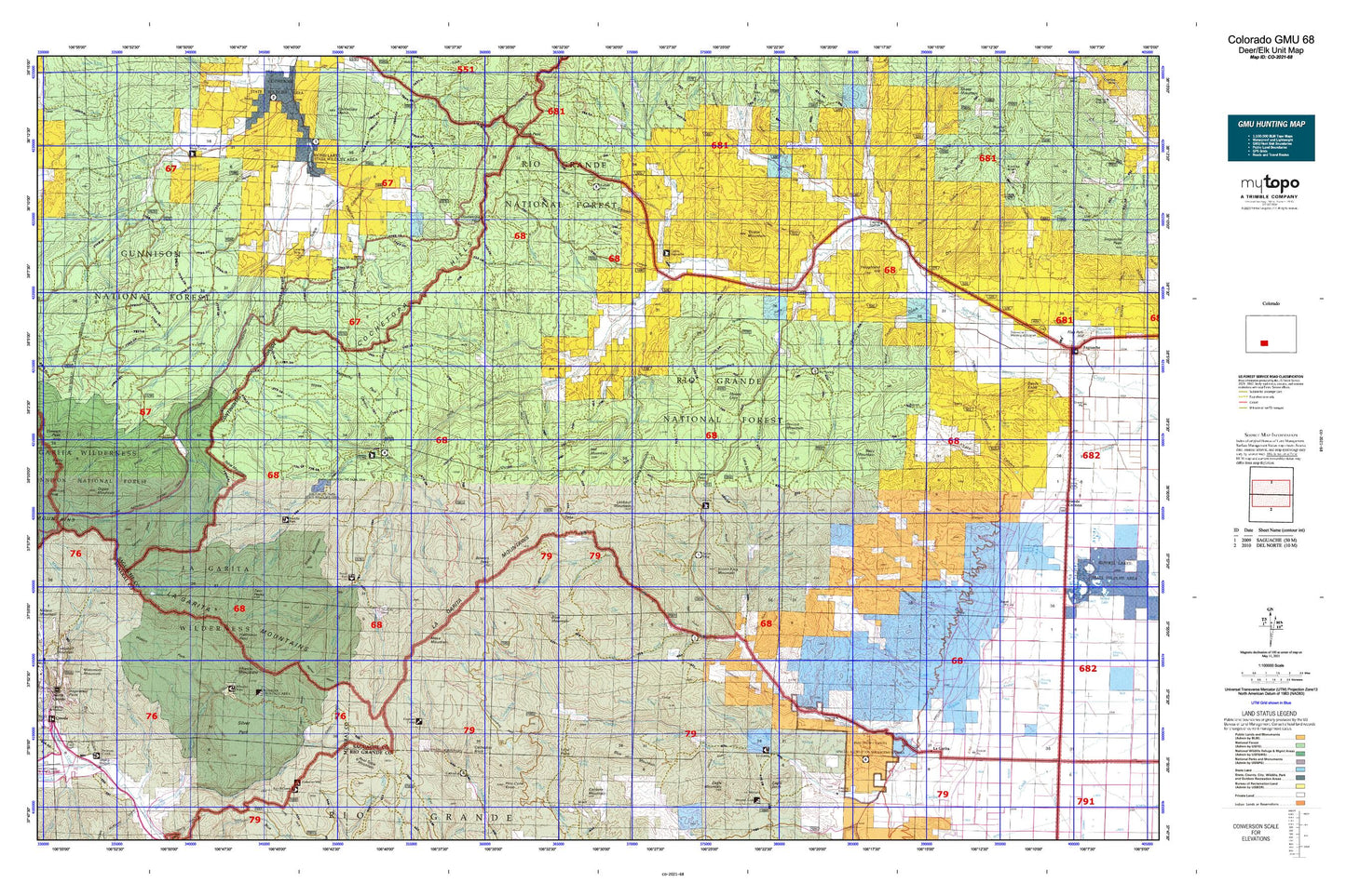
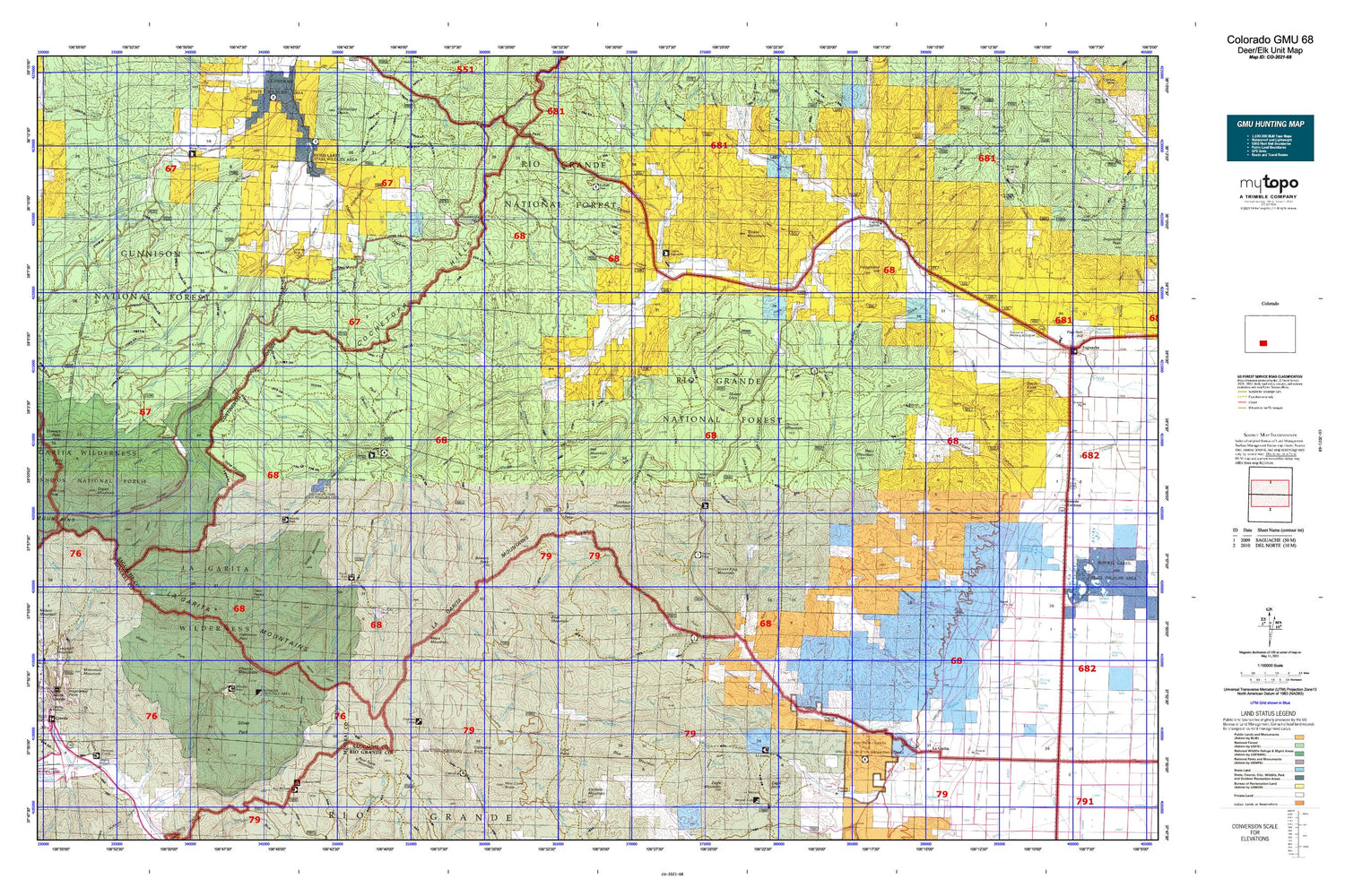
Hunting unit map of Colorado Game Management Unit 68 with topographic lines and unit boundaries. This topo map features UTM / MGRS and Latitude/Longitude grids, plus public land ownership. It comes folded on waterproof paper. Be fully prepared for your hunt with a MyTopo GMU map!.
This map contains the following named places: 81149,Agua Azul,Allen Creek,Amethyst Mine,Andys Hole,Annabelle Mine,Ant Creek,Antelope Creek,April Fool Mine,Bachelor,Bachelor Mine,Bachelor Mountain,Baldy Alto,Baldy Chato,Bear Creek,Beaver Ponds,Benino Creek,Benito Creek,Benito Lake,Benny Creek,Berkshire Shaft Mine,Bethel Mine,Biedell Creek,Big Meadow Ditch,Big Springs Campground,Blue Creek,Blue Mountain,Boot Mountain,Bowers Peak,Browns Creek,Buck Park Creek,Buffalo Pass Campground,Bull Creek,Bulldog Mine,Bulldog Mountain,Campbell Mountain,Cantonment Creek,Captive Inca Mine,Carnero Creek,Carnero Guard Station,Casino Lease Mine,Castor Creek,Cathedral Campground,Cathedral Creek,Cave Creek,Cebolla Stock Driveway,Cecilia Creek,Center Division,Chama Mine,Chavez Creek,Cochetopa Meadows Ditch,Commodore Ditch,Commodore Mine,Corduroy Creek,Cottonwood Creek,Creede,Cross Creek,Deep Creek,Deer Creek,Deerhorn Creek,Dome Lakes State Wildlife Area,Duckfoot Creek,East Fork Buck Park Creek,East Fork Los Pinos Creek,East Pass Creek,East Willow Creek,Elk Creek,Emperius Mine,Esperanza Claims Group Mine,Farmers Creek Trail,Fence Creek,Ford Creek,Ford Ditch,Fourmile Creek,Fremonts Camp,Friese Ditch Number 2,Fullerton Ditch 2,Geban Creek,Geronimo Creek,Gorma Mine,Groundhog Creek,Grouse Creek,Halfmoon Creek,Hat Mountain,Hat Springs Creek,Hodding Creek,Hodding Ditch 3,Hodding Ditch 5,Holland Ditch,Holy Moses Mine,Houghland Hill,Hougland Ditch,Houselog Creek,Jacks Creek,Jakes Creek,Johnnie Smith Ditch Number 1,Johns Creek,Killdeer Creek,Klondike Mine,La Garita,La Garita Corral,La Garita Cow Camp,La Garita Peak,La Garita Stock Driveway,La Garita Wilderness,Laguna Hilda,Lake Fork,Lake Fork Cochetopa Creek,Lake Fork Saguache Creek,Lake Mountain,Lake Mountain Park,Laughlin Stock Driveway,Lawrence Ditch,Lime Creek,Lime Creek Stock Driveway,Little Cottonwood Creek,Little La Garita Creek,Little North Fork,Lone Pine Reservoir,Lone Rock,Lone Rock Creek,Lookout Mountain,Los Creek,Lost Cabin Creek,Lower Dome Reservoir,Luders Creek,Luders Creek Campground,Machin Creek,Machin Lake,Mammoth Mountain,Mann Creek,Masauernez Creek,McDonough Ranch,McDonough Reservoir,Mesa Ditch,Mesa Mountain,Mexican Park,Middle Creek,Middle Fork Carnero Creek,Middle Fork Saguache Creek,Midwest Mine,Mill Creek,Miller Creek,Miners Creek,Molly Mine,Monchego Creek,Monon Hill,Monte Carlo Mine,Monument Rock Creek,Moon Creek,Morrison Ditch,Mount Lion,Mountain Lion Creek,Munro Ditch 2,Nelson Creek,Nelson Mountain,North Creede,North Fork Carnero Creek,North Fork Saguache Creek,Nutras Creek,Old Agency Ranger Station,Organ Mountain,Oso Creek,Outlet Mine,Palmer Mesa,Paradise Reservoir,Park Regent Mine,Pauline Creek,Perfecto Creek,Perry Creek,Phoenix Mine,Pinto Basin,Pool Table Mountain,Poso Campground,Poso Creek,Prong Creek,Quarter Circle Ranch,Quemado Creek,Ralston Creek,Ridge Mine,Rincon Creek,Rio Grande Canal,Road Miller Creek,Saguache County,San Juan Creek,San Luis Peak,Sawlog Creek,School Section Creek,Sheep Creek,Sheep Mountain,Sierra de La Lola,Sky City Mine,Skyline Trail,Solomon Mine,South Fork Carnero Creek,South Fork Saguache Creek,Spring Creek,Spruce Mountain,Squaw Creek,Star Ditch,Stewart Creek,Stewart Creek Trail,Stewart Peak,Still Creek,Stone Cellar Campground,Stone Cellar Guard Station,Storm King Campground,Storm King Mountain,Sunshine Creek,Table Mountain,Tarbell and Alexander Ditch,Texas Creek,Town of the City of Creede,Tracy Mountain,Trickle Mountain,Trough Creek,Trujillo Creek,Twin Peaks,Twin Peaks Creek,Upper Dome Reservoir,Upper Saguache Guard Station,Wannamaker Creek,Ward Highline Ditch,Wason Ranch,Wason Stock Driveway,Weaver,West Fork Buck Park Creek,West Park Creek,West Willow Creek,Whale Creek,Wheeler Geologic Area,Whited Creek,Willow Creek,Willow Mesa,Wilson Arroyo


