MyTopo
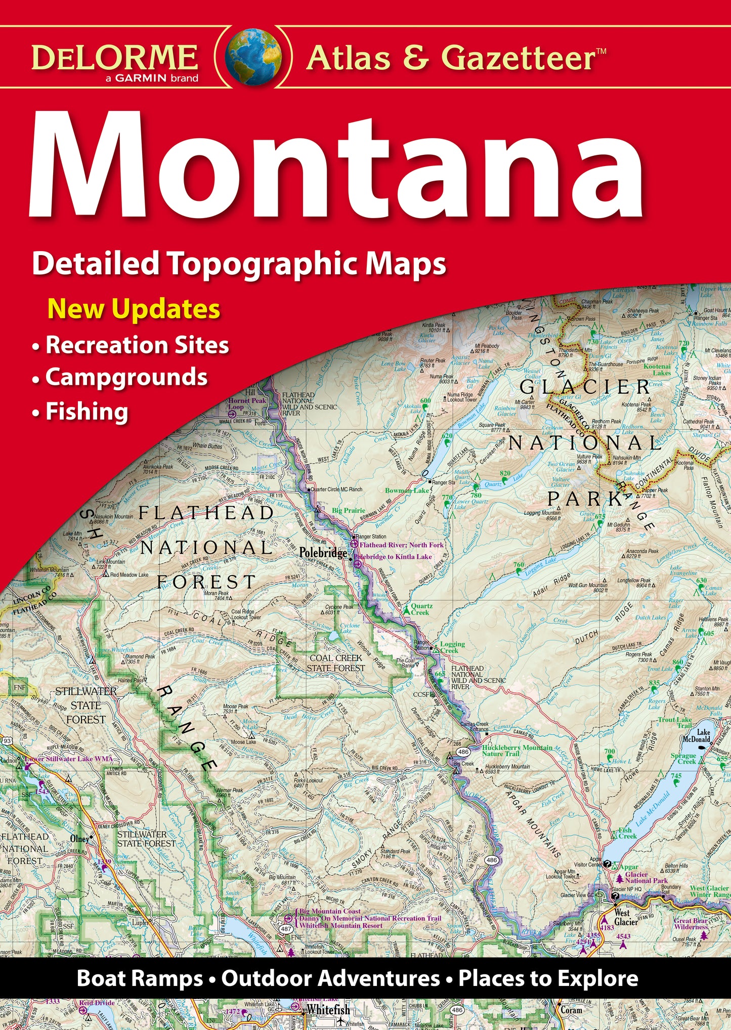
DeLorme Atlas and Gazetteer Montana
Couldn't load pickup availability
Amazingly detailed and beautifully crafted, large-format paper maps (11-inches x 15.5-inches).
Topographic maps with elevation contours, major highways and roads, dirt roads, trails and land use data.
Contains information essential for any outdoor enthusiast, such as points of interest, landmarks, state and national parks, campgrounds, boat launches, golf courses, historic sites, hunting zones, canoe trips, scenic drive recommendations and more.
Perfect for sightseeing, exploring back roads, outdoor recreation and trip planning.
Features detailed topo maps of the entire state, including: Great Falls, Missoula, Lewis and Clark Caverns State Park, Little Bighorn Battlefield National Monument, Helena, Whitefish, Flathead Lake, West Yellowstone, Bozeman, Glacier National Park