MyTopo
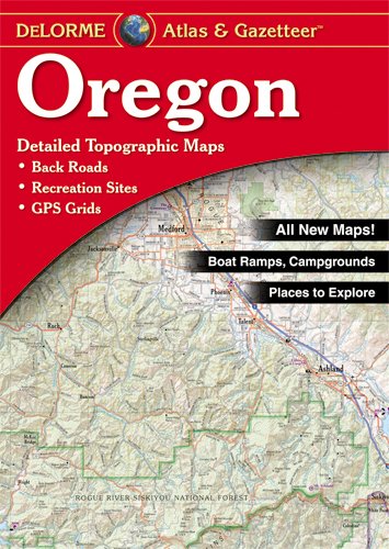
DeLorme Atlas and Gazetteer Oregon
Couldn't load pickup availability
Amazingly detailed and beautifully crafted, large-format paper maps (11-inches x 15.5-inches).
Topographic maps with elevation contours, major highways and roads, dirt roads, trails and land use data.
Contains information essential for any outdoor enthusiast, such as points of interest, landmarks, state and national parks, campgrounds, boat launches, golf courses, historic sites, hunting zones, canoe trips, scenic drive recommendations and more.
Perfect for sightseeing, exploring back roads, outdoor recreation and trip planning.
Features detailed topo maps of the entire state, including: Columbia River Gorge, Wallowa Lake, Yachats, Hells Canyon National Recreation Area, Mount Hood, Cascade Lakes Scenic Byway, Astoria, Portland, Crater Lake National Park, Cannon Beach