MyTopo
Mt Darwin MyTopo Explorer Series Map
Couldn't load pickup availability
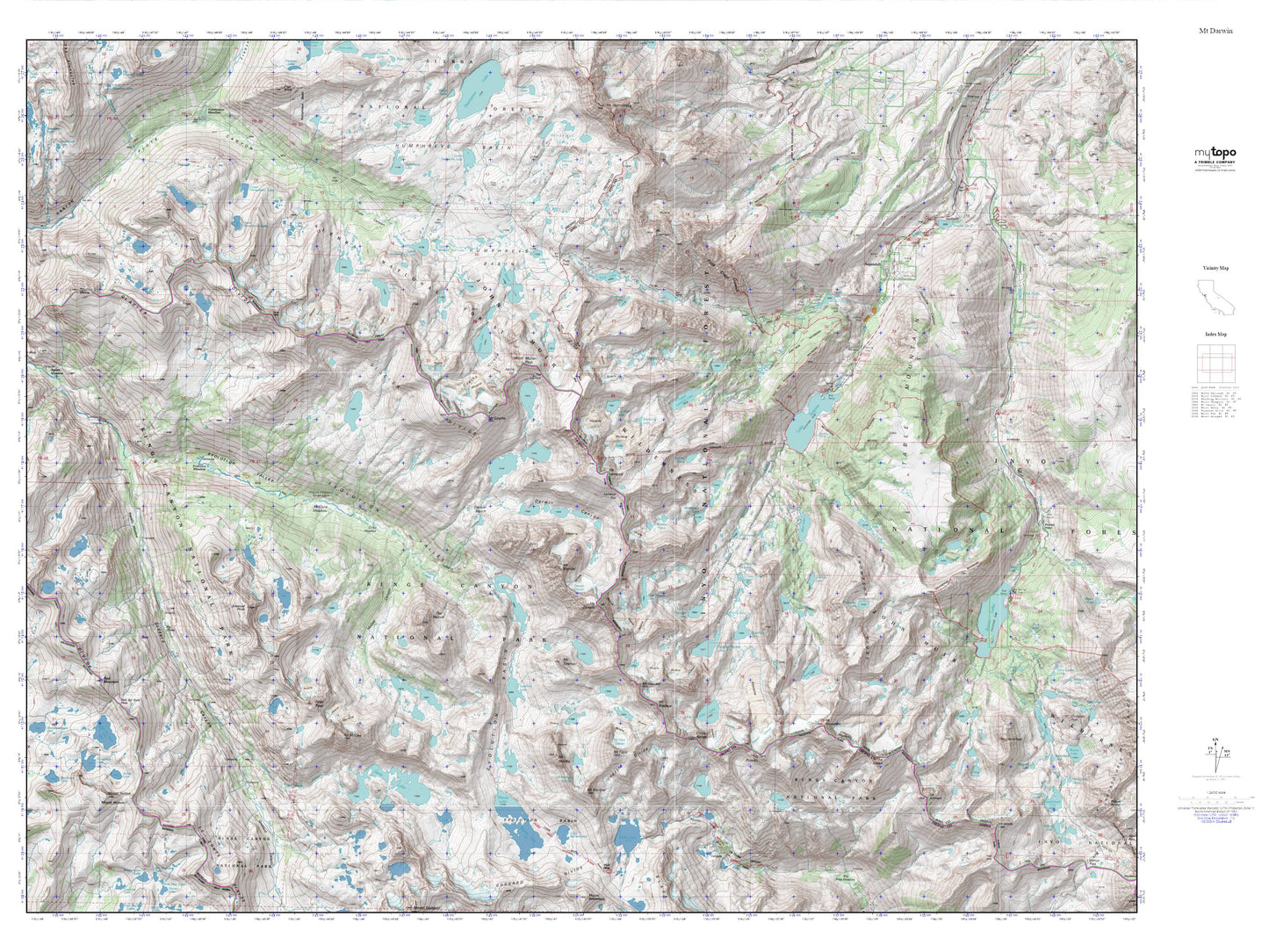
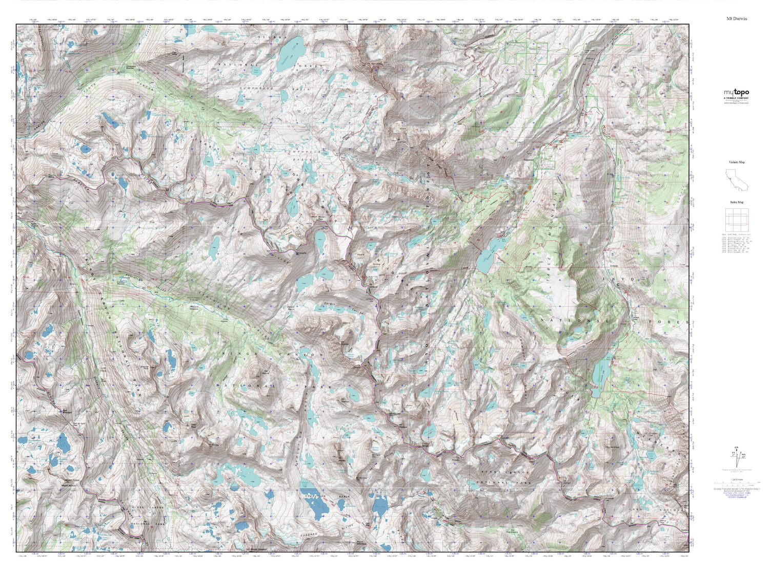
Topographic map of Mt Darwin in the state of California. From the MyTopo Explorer Series.
This topo map features shaded relief and comes with UTM / MGRS and Latitude/Longitude grids.
For more than two decades, MyTopo has provided maps to the most adventurous among us.. those who love to explore our nation’s remote wilderness areas, climb our highest peaks, and trek across our vast public lands. This map is part of a curated collection of the most popular places for which MyTopo customers have designed maps. It is a “bucket list” of the most amazing places to hike, hunt, and explore.
This map contains the following named places: Alpine Col,Baboon Lakes,Blue Heaven Lake,Blue Lake,Bottleneck Lake,Cardinal Mine,Colby Meadow,Darwin Bench,Darwin Canyon,Darwin Creek,Darwin Glacier,Dingleberry Lake,Donkey Lake,Echo Lake,Emerald Lakes,Emerald Peak,Emerson Lake,Evolution Lake,Evolution Meadow,Fishgut Lakes,George Lake,Glacier Divide,Goethe Cirque,Goethe Glacier,Goethe Lake,Granite Lake,Grass Lake,Hell Diver Lakes,Hungry Packer Lake,John Muir Trail,Lake Sabrina,Lamarck Col,Lamarck Creek,Lamarck Lakes Trailhead,Little George Lake,Loch Leven,Lost Lakes,Lower Lamarck Lake,Matthes Glaciers,McClure Meadow,McClure Meadow Ranger Station,McGee Canyon,McGee Lake,Midnight Lake,Moonlight Lake,Mount Darwin,Mount Goethe,Mount Haeckel,Mount Lamarck,Mount Mendel,Mount Spencer,Mount Wallace,Muriel Lake,Muriel Peak,North Fork Lamarck Creek,North Lake,North Lake 104-036 Dam,North Lake Campground,North Lake Picnic Site,North Park Campground,Packsaddle Lake,Payne Lake,Pee Wee Lake,Peter Peak,Piute Lake,Sabrina 104-032 Dam,Sabrina Boating Site,Sabrina Campground,Sabrina Lake Trailhead,Sailor Lake,Sapphire Lake,Schober Lakes,Sky High Lake,Sunset Lake,The Hermit,The Keyhole,Thompson Lake,Thompson Ridge,Topsy Turvy Lake,Upper Lamarck Lake,Wahoo Lake,Wishbone Lake,Wonder Lakes


