MyTopo
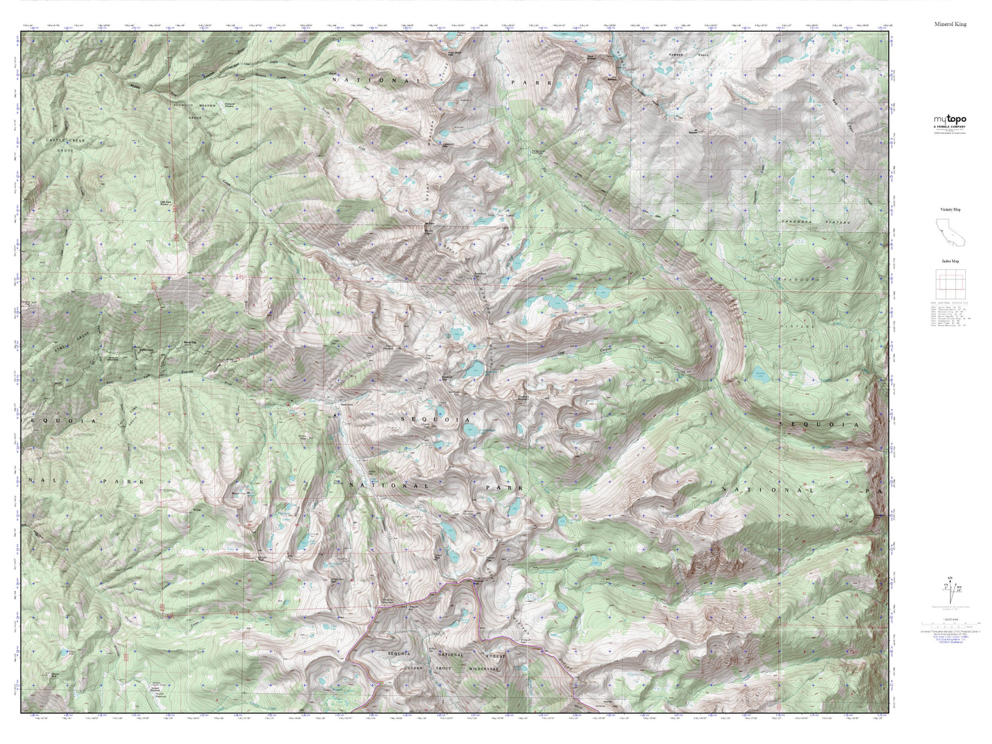
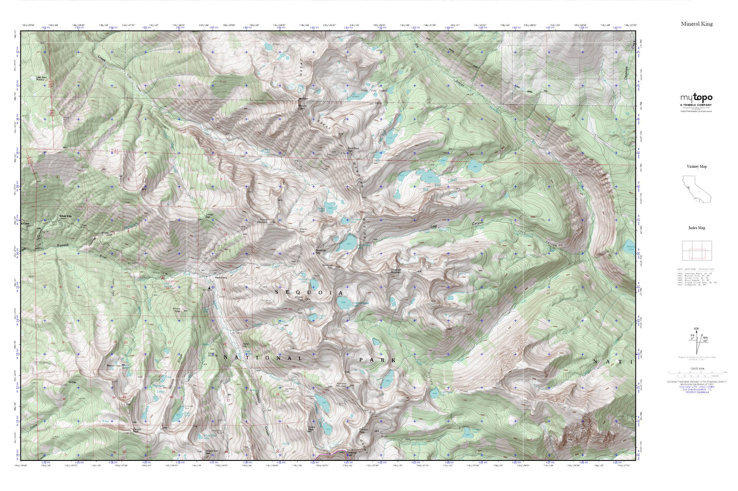
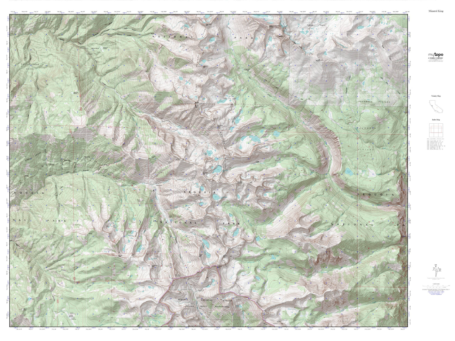
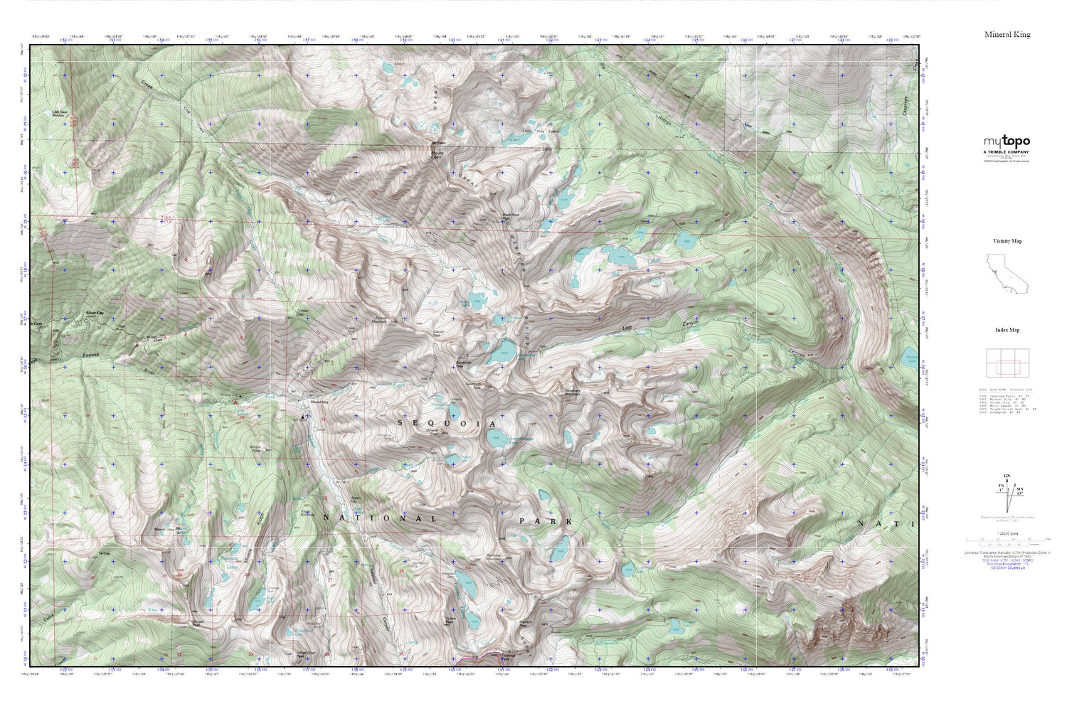
Mineral King MyTopo Explorer Series Map
Couldn't load pickup availability
Topographic map of Mineral King in the state of California. From the MyTopo Explorer Series.
This topo map features shaded relief and comes with UTM / MGRS and Latitude/Longitude grids.
For more than two decades, MyTopo has provided maps to the most adventurous among us.. those who love to explore our nation’s remote wilderness areas, climb our highest peaks, and trek across our vast public lands. This map is part of a curated collection of the most popular places for which MyTopo customers have designed maps. It is a “bucket list” of the most amazing places to hike, hunt, and explore.
This map contains the following named places: Amphitheater Lake,Aspen Flat,Big Five Lakes,Black Rock Pass,Cabin Cove,Chihuahua Mine,Cold Spring,Cold Spring Campground,Columbine Lake,Crabtree Cabin,Crystal Creek,Crystal Lake,Crystal Lake 104-019 Dam,Cyclamen Lake,Deadwood Creek,Eagle Creek,Eagle Lake,Eagle Sinkhole,East Fork Grove,Empire Mill,Empire Mine,Empire Mountain,Farewell Canyon,Fowler Creek,Franklin Creek,Franklin Lakes,Franklin Pass,Glacier Pass,Highbridge Creek,Hockett Meadow Trail,Lady Franklin Lake 104-011 Dam,Lady Franklin Mine,Little Claire Lake,Little Five Lakes,Little Sand Meadow,Mineral Creek,Mineral King,Mineral King Game Refuge,Mineral King Post Office,Mineral King Ranger Station,Mineral Lakes,Mineral Peak,Miners Nose,Monarch Creek,Monarch Lakes,Mosquito Creek,Mosquito Lakes,Mount Eisen,Needham Mountain,Pinto Lake,Rainbow Mountain,Sawtooth Pass,Sawtooth Peak,Silver City,Silver City Census Designated Place,Soda Spring,Spring Lake,Sunny Point Recreation Site,Tar Gap,Timber Gap,Timber Gap Creek,Tufa Falls,Tulare Peak,Upper Monarch Lake 104-020 Dam


