MyTopo
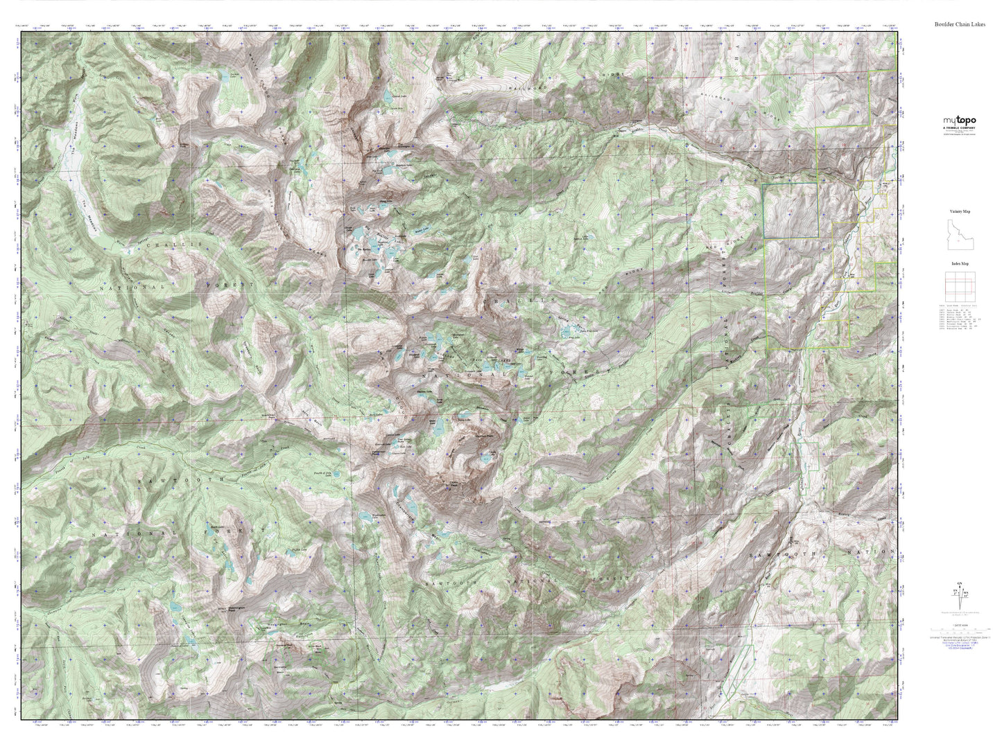
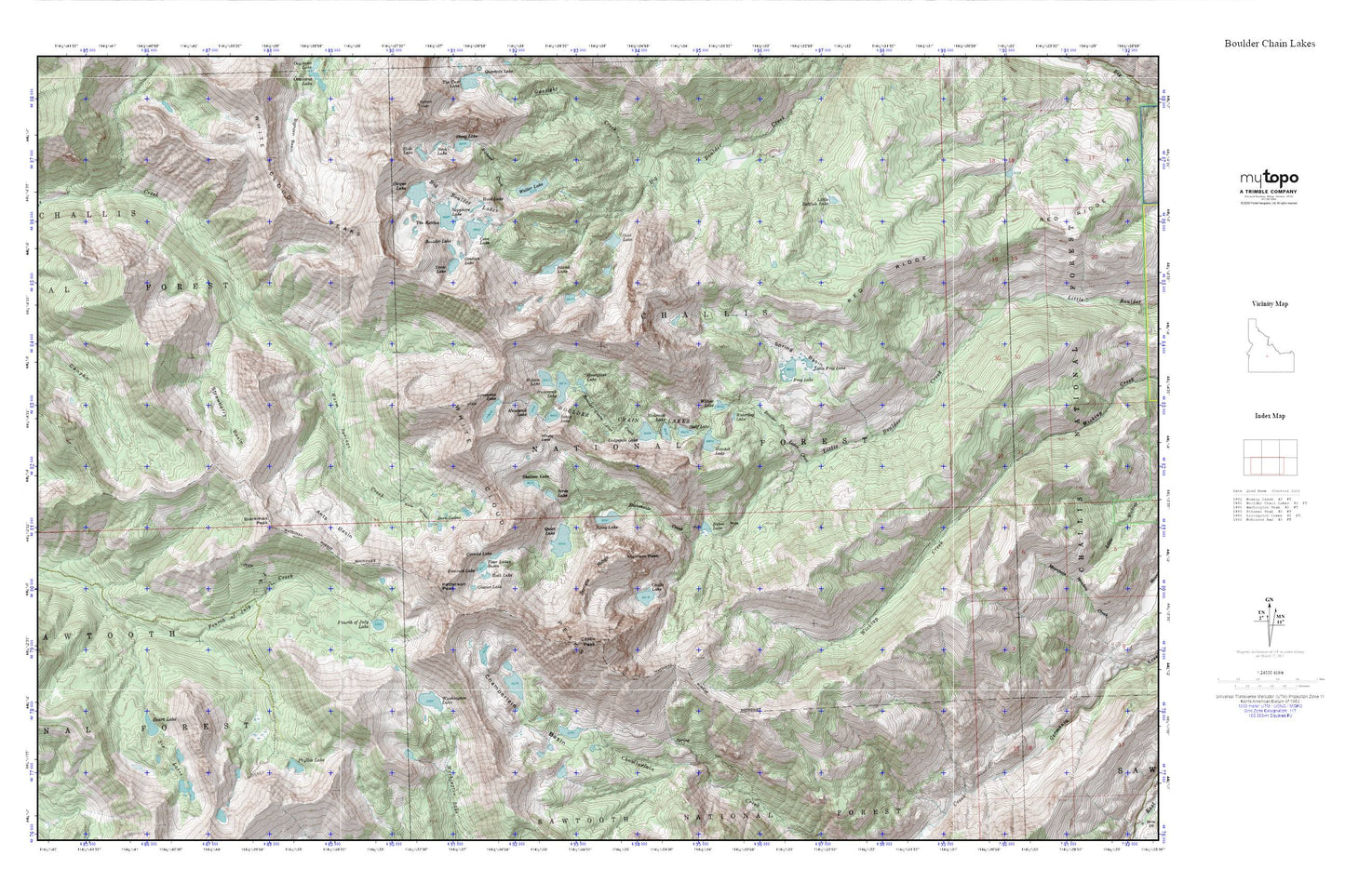
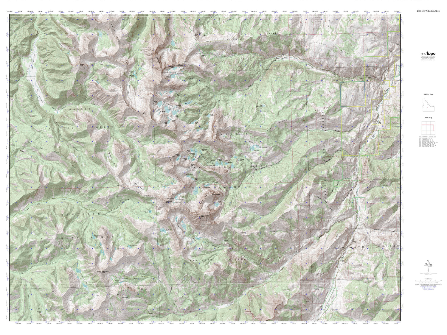
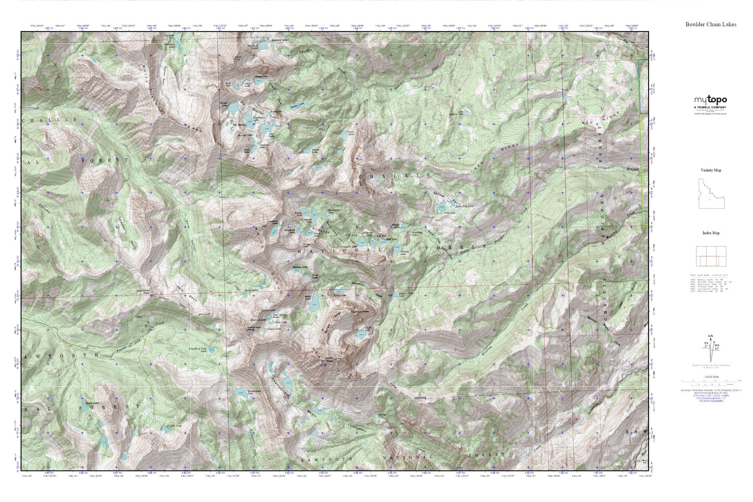
Boulder Chain Lakes MyTopo Explorer Series Map
Couldn't load pickup availability
Topographic map of Boulder Chain Lakes in the state of Idaho. From the MyTopo Explorer Series.
This topo map features shaded relief and comes with UTM / MGRS and Latitude/Longitude grids.
For more than two decades, MyTopo has provided maps to the most adventurous among us.. those who love to explore our nation’s remote wilderness areas, climb our highest peaks, and trek across our vast public lands. This map is part of a curated collection of the most popular places for which MyTopo customers have designed maps. It is a “bucket list” of the most amazing places to hike, hunt, and explore.
This map contains the following named places: Antz Basin,Baker Lake,Big Boulder Lakes,Bighorn Creek,Blackmon Peak,Boorn Lakes,Boulder Chain Lakes,Boulder Chain Lakes Creek,Boulder Lake,Castle Lake,Castle Peak,Chamberlain Basin,Cirque Lake,Cornice Lake,Cove Lake,Deer Trail Mine,Emerald Lake,Four Lakes Basin,Fourth of July Lake,Frog Lake,Frog Lakes,Gentian Lake,Glacier Lake,Goat Lake,Gunsight Creek,Hatchet Lake,Headwall Lake,Heart Lake,Hidden Lake,Hook Lake,Hourglass Lake,Hummock Lake,Island Lake,Lee Peak,Little Frog Lake,Little Redfish Lake,Lodgepole Lake,Lonesome Lake,Merriam Peak,Noisy Lake,Patterson Peak,Phyllis Lake,Quiet Lake,Red Ridge,Rock Lake,Sapphire Lake,Scoop Lake,Scree Lake,Serrate Ridge,Shallow Lake,Shelf Lake,Six Lakes,Slickenside Creek,Sliderock Lake,Snow Lake,Spring Basin,Strawberry Basin,The Kettles,Tiny Lake,Walker Lake,Washington Lake,Waterdog Lake,White Cloud Peaks,Willow Lake,Windy Devil


