MyTopo
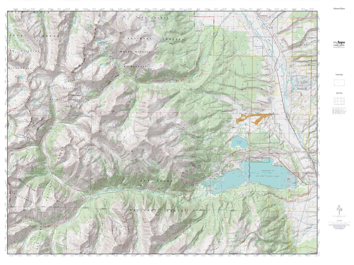
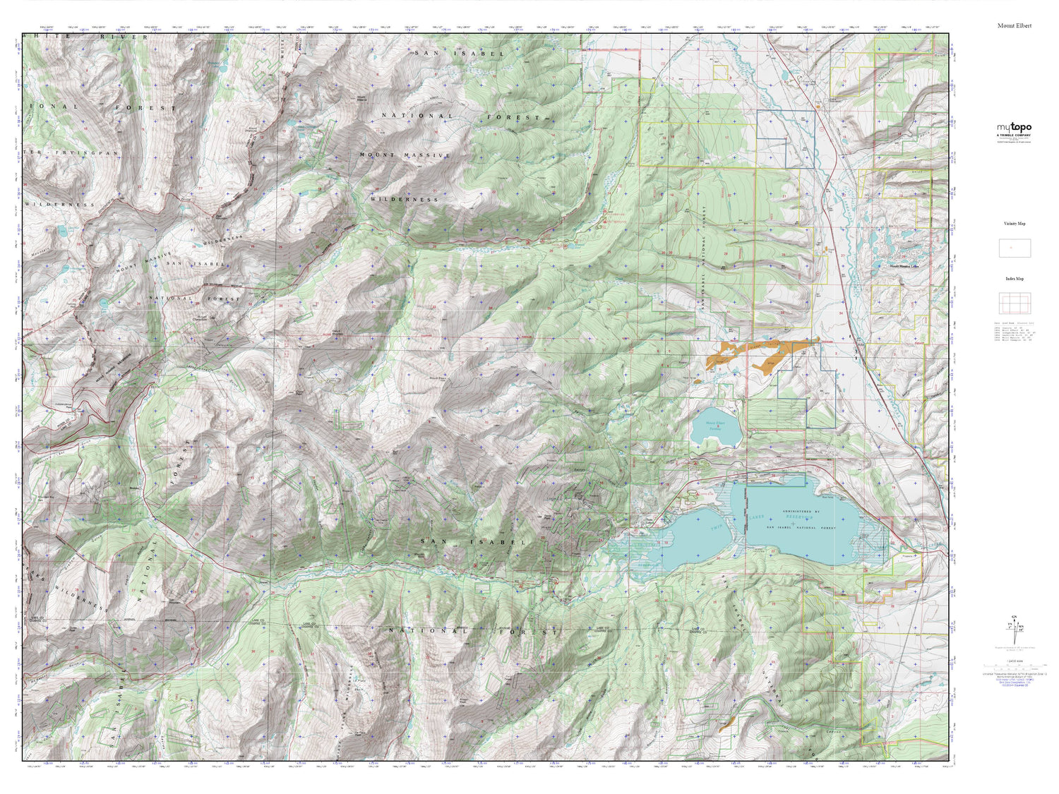
Mount Elbert MyTopo Explorer Series Map
Couldn't load pickup availability
Topographic map of Mount Elbert in the state of Colorado. From the MyTopo Explorer Series.
This topo map features shaded relief and comes with UTM / MGRS and Latitude/Longitude grids.
For more than two decades, MyTopo has provided maps to the most adventurous among us.. those who love to explore our nation’s remote wilderness areas, climb our highest peaks, and trek across our vast public lands. This map is part of a curated collection of the most popular places for which MyTopo customers have designed maps. It is a “bucket list” of the most amazing places to hike, hunt, and explore.
This map contains the following named places: 81251,Arlington Ditch,Bartlett Gulch,Bartlett Mine,Bengal Tiger Mine,Black Cloud Creek,Boswell Gulch,Bull Hill,Casco Peak,Champion Mill,Champion Mine,Cozart Dam,Cozart Reservoir,Crystal Lake Creek,Dayton Gulch,Deer Mountain,Echo Canyon,Echo Creek,Edna May Mine,Elbert Creek,Elbert Creek Campground,Emerald Lake,Eureka Mine,Everett,Fidelity Mine,French Mountain,Galena Gulch,Golden Fleece Mine,Gordon Gulch,Gordon Mine,Hayden Gulch,Helen H Cochran Mine,Iron Mike Mine,Kosmon Mine,Lackawanna Gulch,Lake View Campground,Last Chance Mine,Leadville Division,Lily Pond,Little Joe Mine,Lone Star Mine,Main Range Trail,Mill Creek,Monitor Gulch,Monitor Rock,Mount Champion,Mount Cosgriff,Mount Elbert,Mount Elbert Forebay,Mount Elbert Forebay Dam,Mount Elbert Trail,Negro Gulch,North Fork Lake Creek,North Halfmoon Creek,Parry Peak,Parry Peak Campground,Placer Mines,Practical Gold Mining Mine,Rocky Point Mine,Sawatch Range,Smith Gulch,Snyder Falls,South Fork Lake Creek,South Halfmoon Creek,Twin Lakes,Twin Peaks Campground,Vesuvius Mine,White Star Campground,White Star Mine,Willis Gulch


