
MyTopo
Maroon Bells MyTopo Explorer Series Map
Couldn't load pickup availability
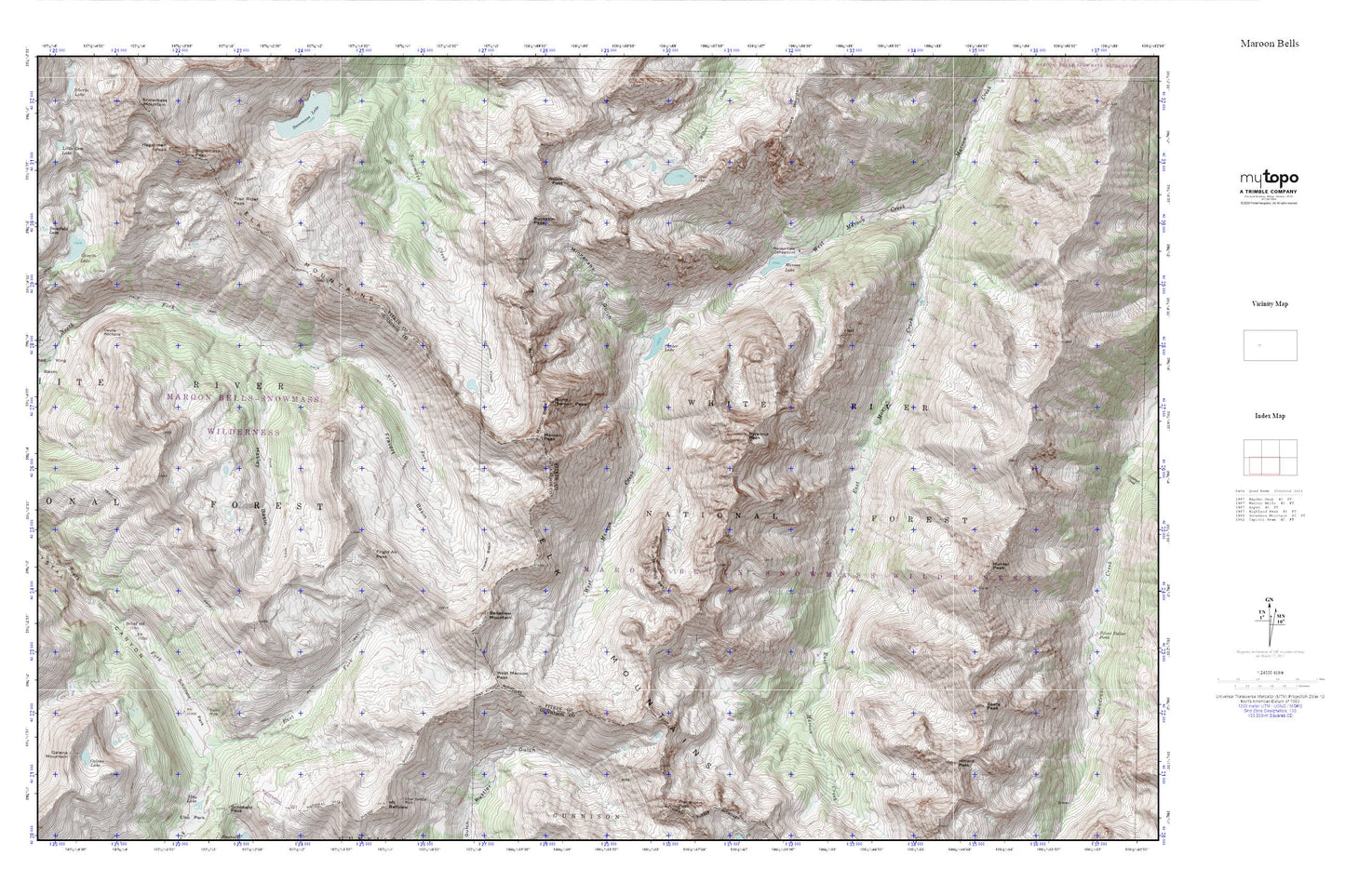
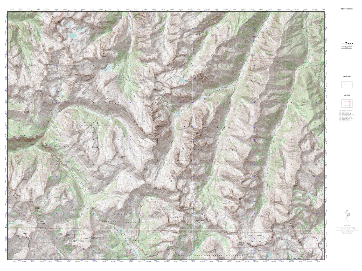
Topographic map of Maroon Bells in the state of Colorado. From the MyTopo Explorer Series.
This topo map features shaded relief and comes with UTM / MGRS and Latitude/Longitude grids.
For more than two decades, MyTopo has provided maps to the most adventurous among us.. those who love to explore our nation’s remote wilderness areas, climb our highest peaks, and trek across our vast public lands. This map is part of a curated collection of the most popular places for which MyTopo customers have designed maps. It is a “bucket list” of the most amazing places to hike, hunt, and explore.
This map contains the following named places: Baroni Mine,Belleview Mountain,Buckskin Pass,Crater Lake,Devils Rockpile,Disc Shaft Mine,Don Number Two Mine,East Fork South Fork Crystal River,East Maroon Creek,East Maroon Portal Campground,East Maroon Trailhead,Elk Mountains,Fravert Basin,Frigid Air Pass,Galena Lake,Galena Mountain,Geneva Lake,Hagerman Peak,Harris Fairly Mine,Hasley Basin,Hilliard Peak,Hunter Peak,Keefe Peak,Lead King Basin,Len Shoemaker Ridge,Little Gem Lake,Maroon Bells,Maroon Lake,Maroon Lake Campground,Maroon Peak,Minnehaha Gulch,North Maroon Peak,Puritan Group Mine,Pyramid Peak,Rock Creek,Schofield,Schofield Park,Sleeping Sexton,Snowfield Lake,Snowmass Peak,Trail Rider Pass,West Maroon Creek,West Maroon Pass,Willow Lake,Willow Pass