MyTopo
Mount Clarence King MyTopo Explorer Series Map
Couldn't load pickup availability
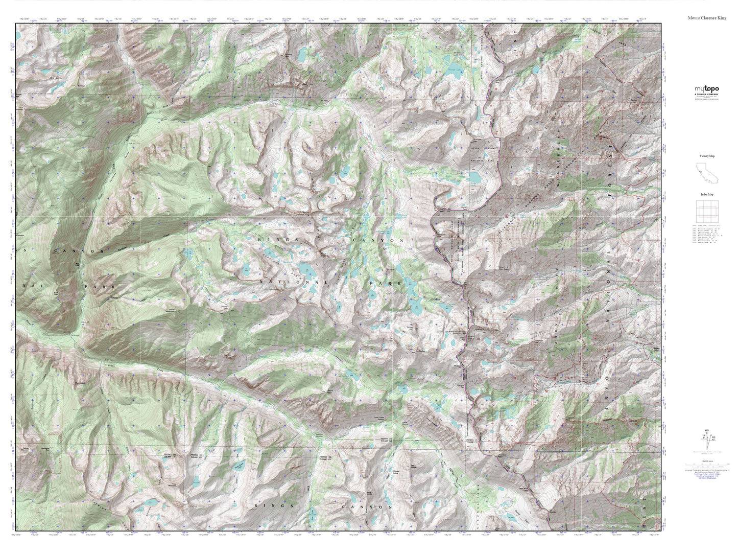
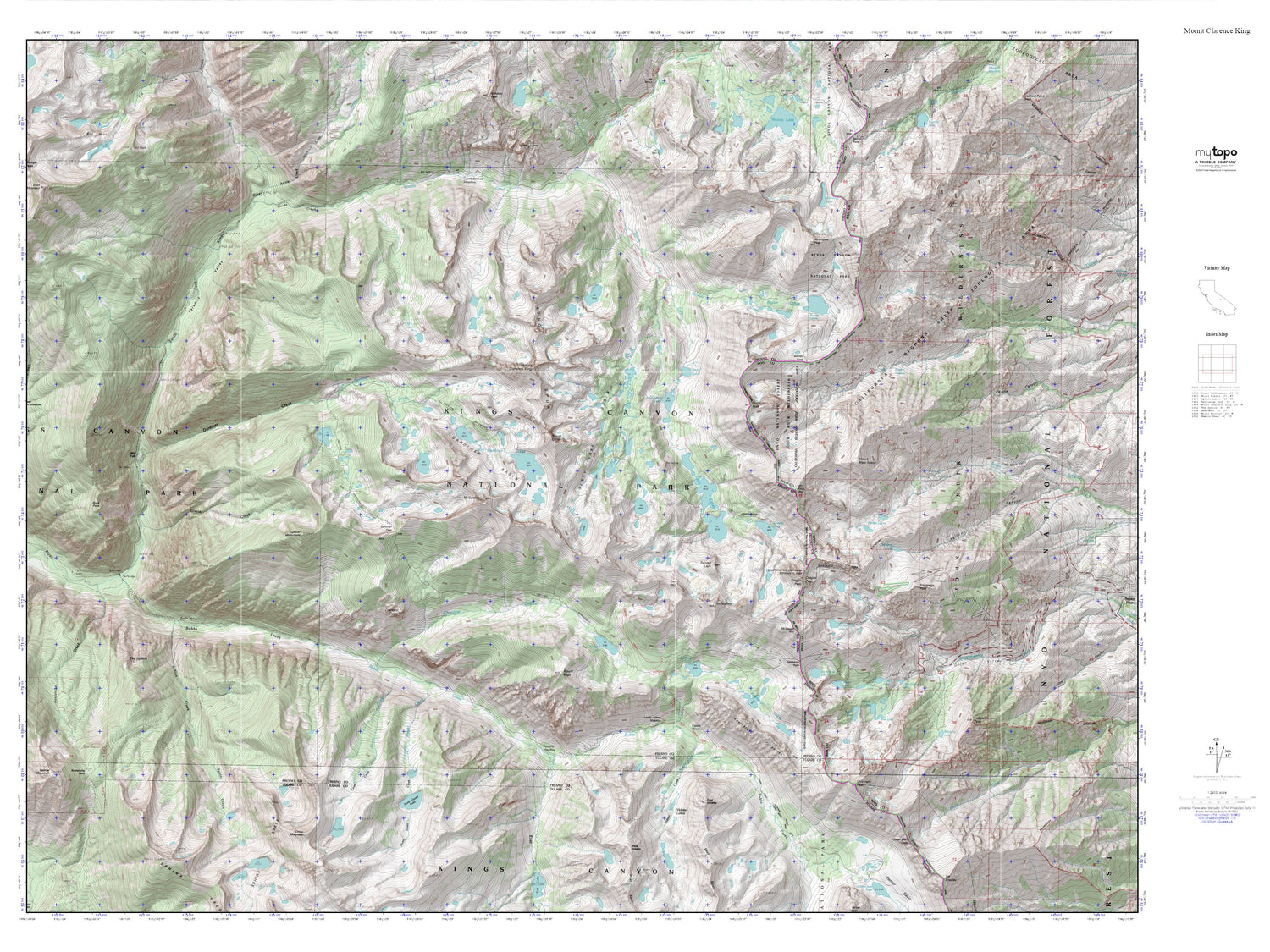
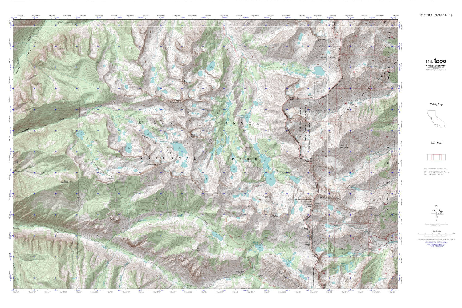
Topographic map of Mount Clarence King in the state of California. From the MyTopo Explorer Series.
This topo map features shaded relief and comes with UTM / MGRS and Latitude/Longitude grids.
For more than two decades, MyTopo has provided maps to the most adventurous among us.. those who love to explore our nation’s remote wilderness areas, climb our highest peaks, and trek across our vast public lands. This map is part of a curated collection of the most popular places for which MyTopo customers have designed maps. It is a “bucket list” of the most amazing places to hike, hunt, and explore.
This map contains the following named places: Arrowhead Lake,Baxter Creek,Baxter Lakes,Baxter Pass,Bench Lake,Big Pothole Lake,Black Mountain,Bullfrog Lake,Charlotte Creek,Charlotte Dome,Charlotte Lake,Cross Creek,Diamond Peak,Dollar Lake,Dragon Lake,Dragon Peak,Fin Dome,Flower Lake,Gardiner Basin,Gardiner Lakes,Gardiner Pass,Gilbert Lake,Glacier Monument,Glen Pass,Golden Trout Lake,Heart Lake,Kearsarge Pass,King Spur,Matlock Lake,Mount Bago,Mount Clarence King,Mount Cotter,Mount Gardiner,Mount Gould,Mount Mary Austin,Mount Rixford,North Guard Creek,Painted Lady,Paradise Valley,Parker Lakes,Rae Lakes,Sixty Lake Basin,Sphinx Creek,Summit Meadow