
MyTopo
Pikes Peak MyTopo Explorer Series Map
Couldn't load pickup availability
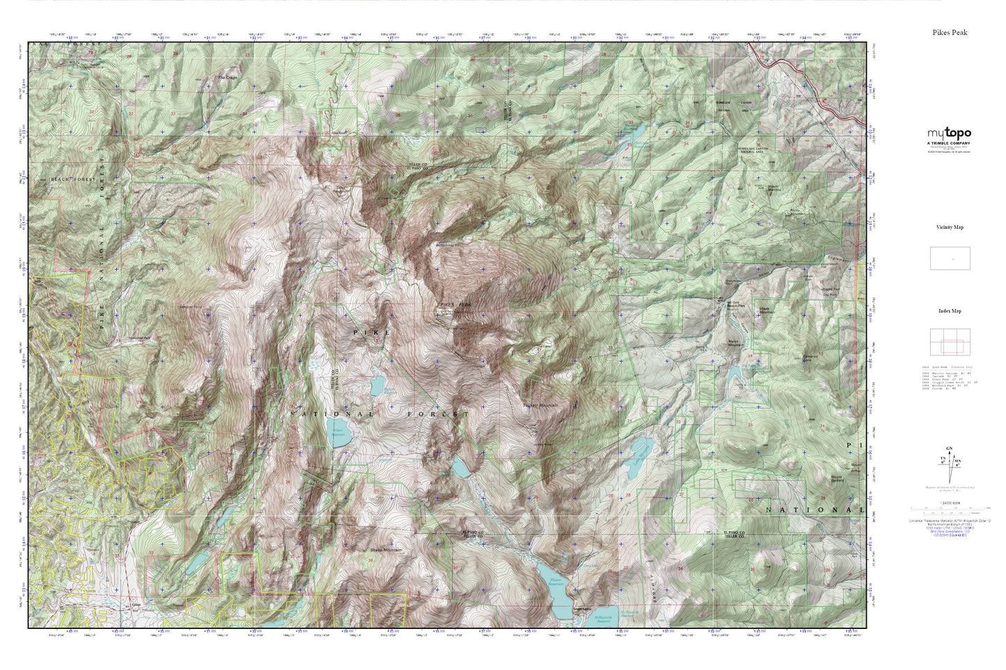
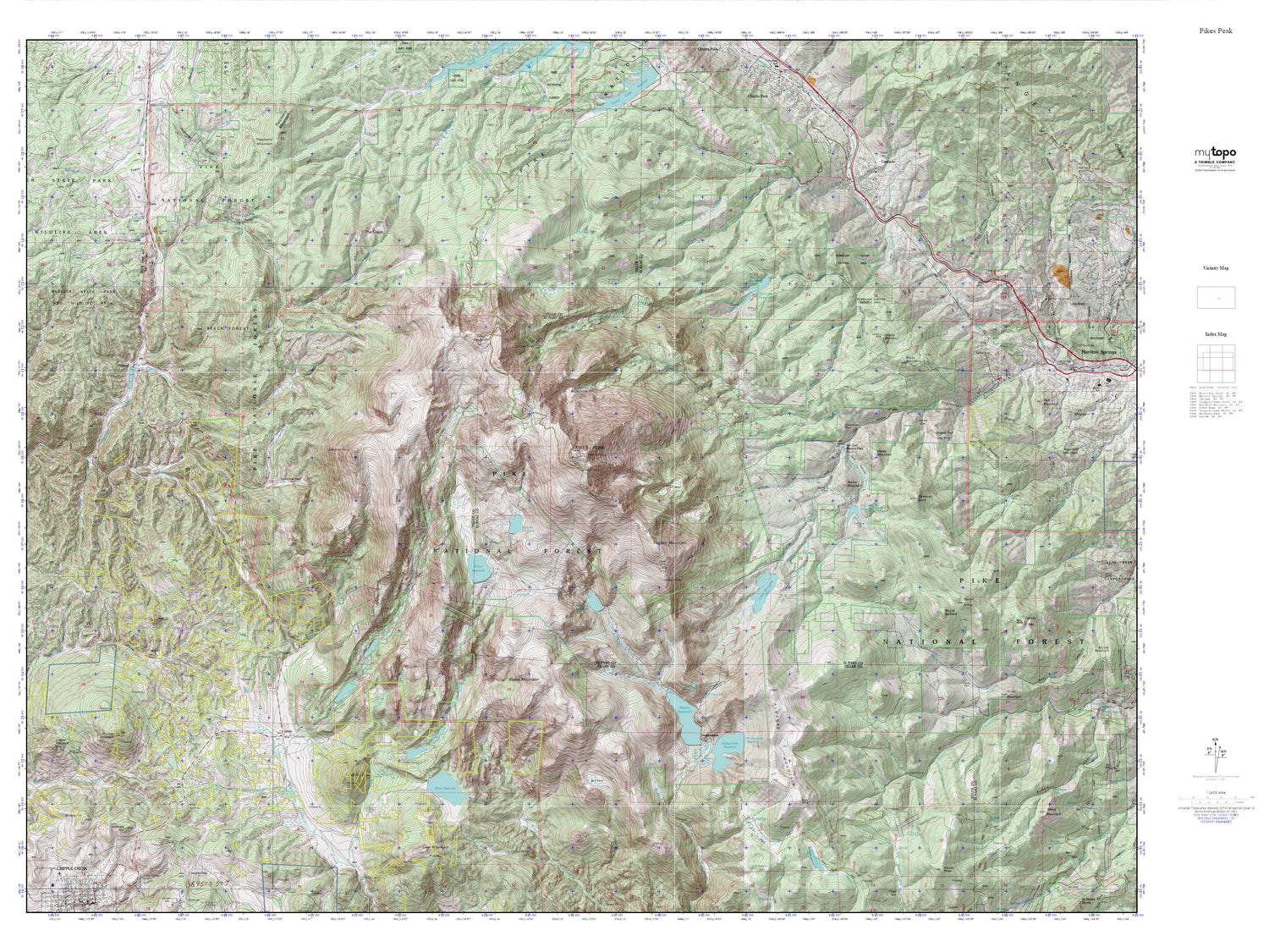
Topographic map of Pikes Peak in the state of Colorado. From the MyTopo Explorer Series.
This topo map features shaded relief and comes with UTM / MGRS and Latitude/Longitude grids.
For more than two decades, MyTopo has provided maps to the most adventurous among us.. those who love to explore our nation’s remote wilderness areas, climb our highest peaks, and trek across our vast public lands. This map is part of a curated collection of the most popular places for which MyTopo customers have designed maps. It is a “bucket list” of the most amazing places to hike, hunt, and explore.
This map contains the following named places: 80809,Almagre Mountain,Barr Trail,Big Horn Dam,Big Tooth Reservoir,Big Tooth Reservoir Dam,Bighorn Reservoir,Black Forest,Boehmer Creek,Boehmer Dam,Boehmer Reservoir,Bottomless Pit,Cabin Creek,Cripple Creek Number 2 Dam,Cripple Creek Number 2 Reservoir,Cripple Creek Number 3 Dam,Cripple Creek Reservoir Number 3,Dark Canyon,Dead Lake,Devils Playground,Glen Cove,Glen Cove Picnic Area,Grandview Rock,Horsethief Park,Hurricane Canyon Natural Area,Lake Moraine,Lake Moraine Dam,Lion Creek,Manitou Dam,Manitou Reservoir,Marys Mountain,Midway,North Fork French Creek,Old Mountain View,Pikes Peak,Pikes Peak Division,Ruxton Park,Sachett Mountain,Saint John Tunnel,Seep Creek,Sentinel Point,Sheep Creek,Sheep Mountain,South Fork French Creek,South Ruxton Creek,Strickler Tunnel,Summit House,The Crags Campground,The Crater,Willow Creek,Wilson Dam,Wilson Reservoir,Windy Point