MyTopo
Mount Katahdin MyTopo Explorer Series Map
Couldn't load pickup availability
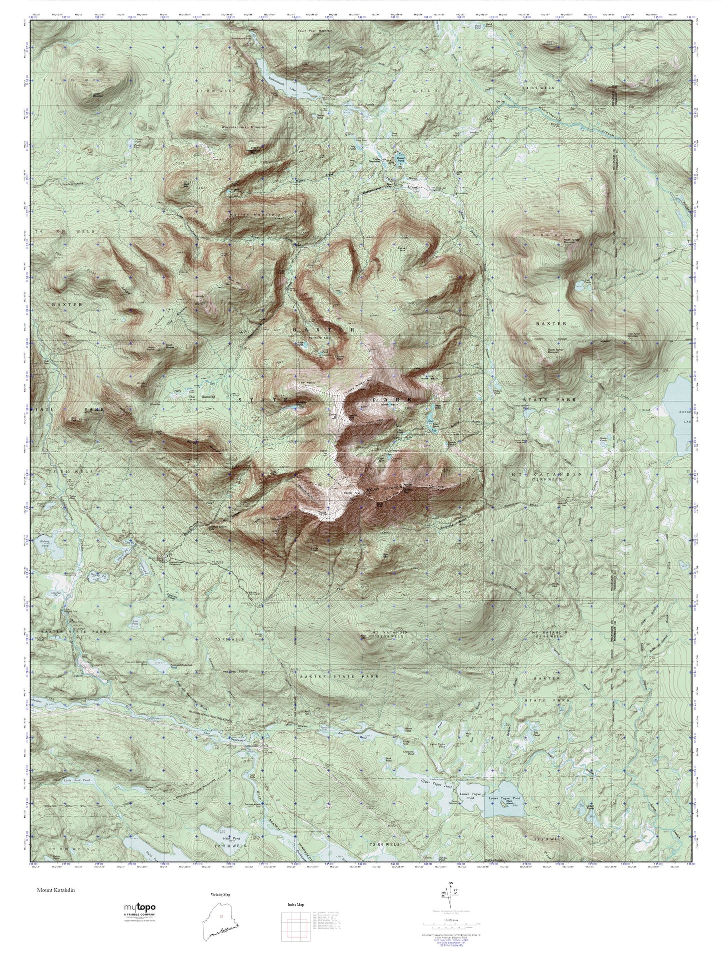
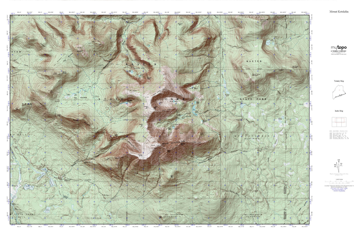
Topographic map of Mount Katahdin in the state of Maine. From the MyTopo Explorer Series.
This topo map features shaded relief and comes with UTM / MGRS and Latitude/Longitude grids.
For more than two decades, MyTopo has provided maps to the most adventurous among us.. those who love to explore our nation’s remote wilderness areas, climb our highest peaks, and trek across our vast public lands. This map is part of a curated collection of the most popular places for which MyTopo customers have designed maps. It is a “bucket list” of the most amazing places to hike, hunt, and explore.
This map contains the following named places: Abol Mountain,Abol Trail,Abot Trail,Annis Brook,Barren Mountain,Baxter Game Preserve,Baxter Peak,Caribou Spring,Cathedral Trail,Chimney Peak,Chimney Pond,Chimney Pond Campground,Chimney Pond Trail,Davis Pond,Depot Pond,Dry Pond,Dudley Trail,Fort Mountain,Great Basin,Hamlin Peak,Hamlin Ridge,Harvey Ridge,Howe,Howe Peaks,Hunts Peak,Katahdin Falls,Katahdin Stream Falls,Keep Ridge,Klondike Pond,Knife Edge,Lake Cowles,Ledge Falls,Little North Basin,Mount Katahdin,Mount Katahdin Township,Mullen Mountain,New City,North Basin,North Brother,Northwest Basin,Northwest Basin Trail,Pamola,Pamola Pond,Rum Mountain,Russell Mountain,Saddle Spring,Saddle Trail,South Basin,South Branch Trail,South Branch Wassataquoik Stream,South Peak,Table Land,The Owl,Thoreau Spring,Turner Brook,Turner Deadwater,Whidden Ponds,Witherle Ravine,York Valley