MyTopo
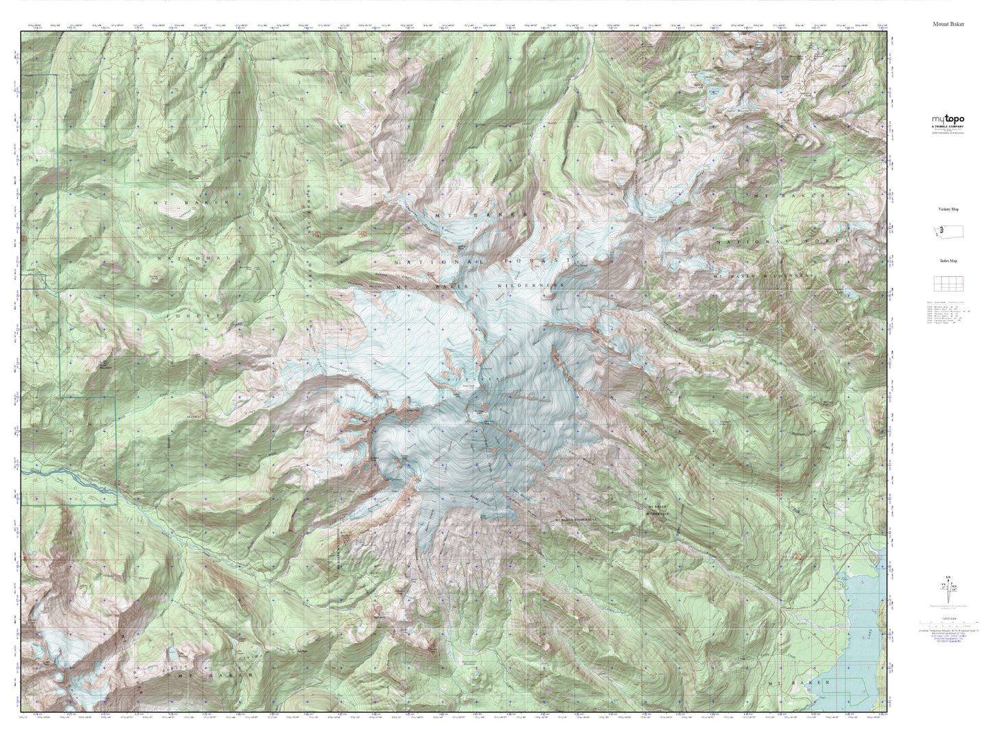
Mount Baker MyTopo Explorer Series Map
Couldn't load pickup availability
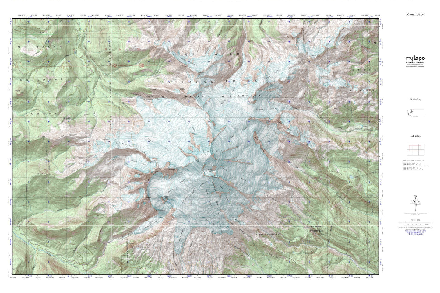
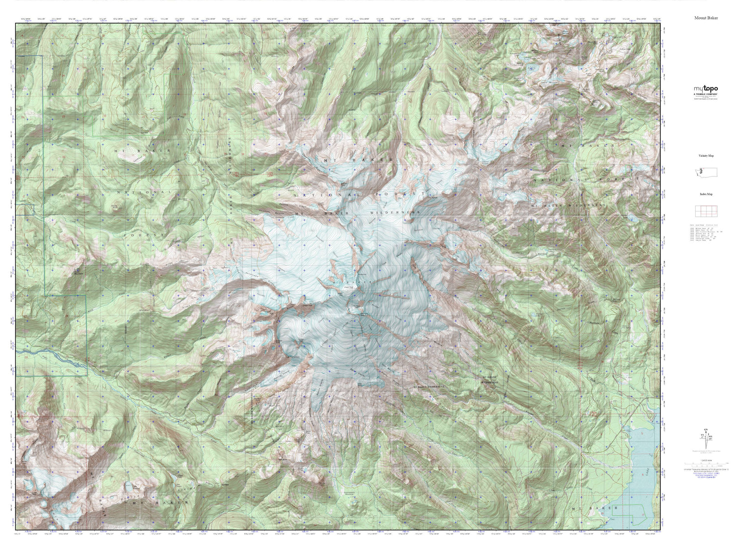
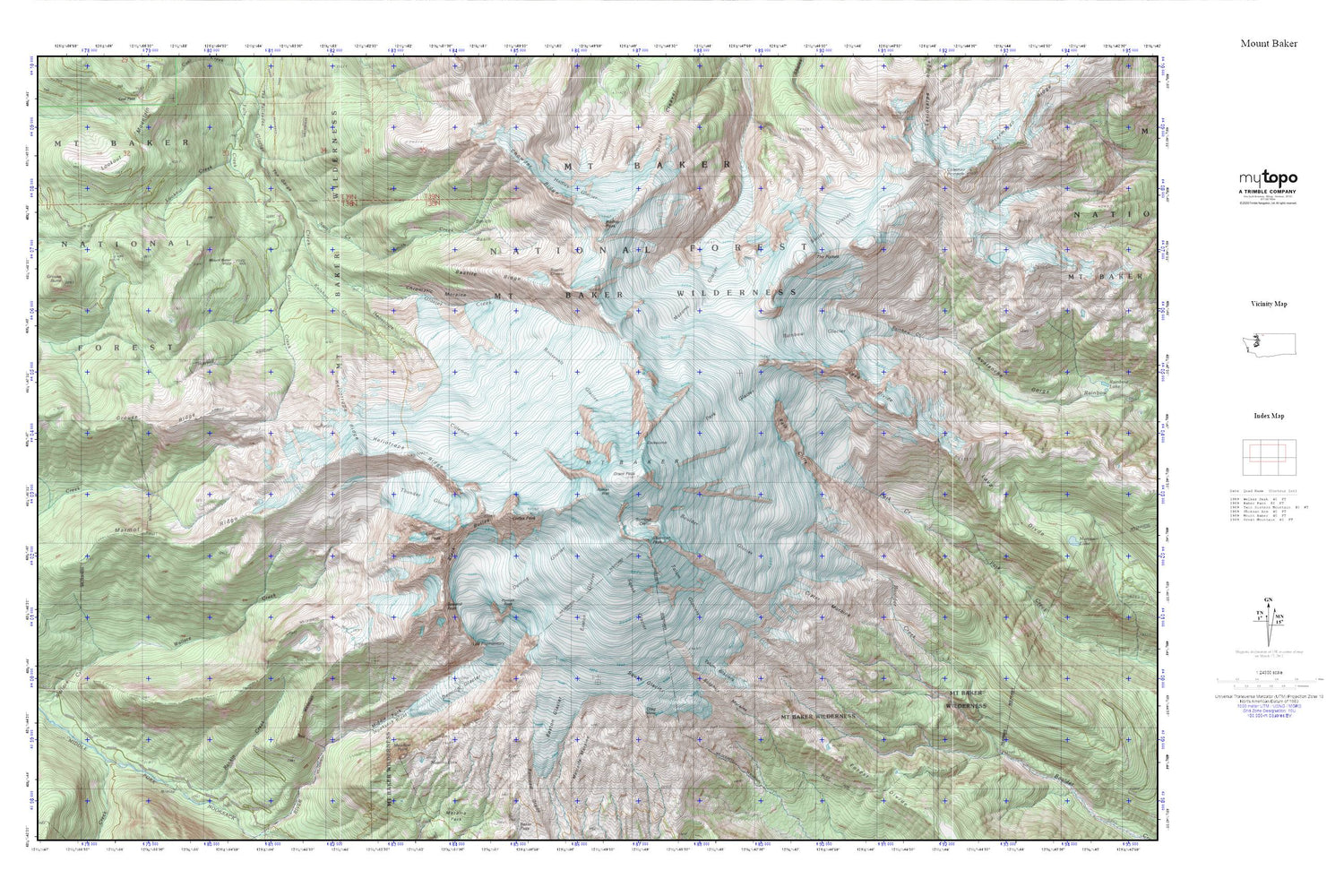
Topographic map of Mount Baker in the state of Washington. From the MyTopo Explorer Series.
This topo map features shaded relief and comes with UTM / MGRS and Latitude/Longitude grids.
For more than two decades, MyTopo has provided maps to the most adventurous among us.. those who love to explore our nation’s remote wilderness areas, climb our highest peaks, and trek across our vast public lands. This map is part of a curated collection of the most popular places for which MyTopo customers have designed maps. It is a “bucket list” of the most amazing places to hike, hunt, and explore.
This map contains the following named places: Bastile Glacier,Bastile Ridge,Black Buttes,Boulder Glacier,Camp Kiser,Chowder Ridge,Chromatic Moraine,Cockscomb,Coleman Glacier,Colfax Peak,Crag View,Crater Moraine,Deming Glacier,Dobbs Cleaver,Dorr Fumarole Field,Easton Glacier,Forest Divide,Grant Peak,Grouse Creek,Grouse Ridge,Hadley Glacier,Hadley Peak,Heliotrope Creek,Heliotrope Ridge,Kulshan Cabin,Kulshan Creek,Lahar Lookout,Lava Divide,Lee Promontory,Lincoln Peak,Lookout Creek,Marmot Ridge,Mazama Glacier,Mazama Lake,Meadow Point,Metcalfe Moraine,Mount Baker,Mount Baker Trailhead,Mount Baker Vista,Mount Baker Vista Picnic Area,No Name Glacier,Park Cliffs,Park Glacier,Portrait Rock,Rainbow Glacier,Rankin Creek,Roman Wall,Roosevelt Glacier,Seward Peak,Sherman Crater,Sherman Peak,Sholes Glacier,Smith Basin,Smith Creek,Squak Glacier,Sulphur Moraine,Summit Crater,Talum Glaciers,The Gorge,The Portals,Thunder Glacier


