MyTopo
Butler Peak MyTopo Explorer Series Map
Couldn't load pickup availability
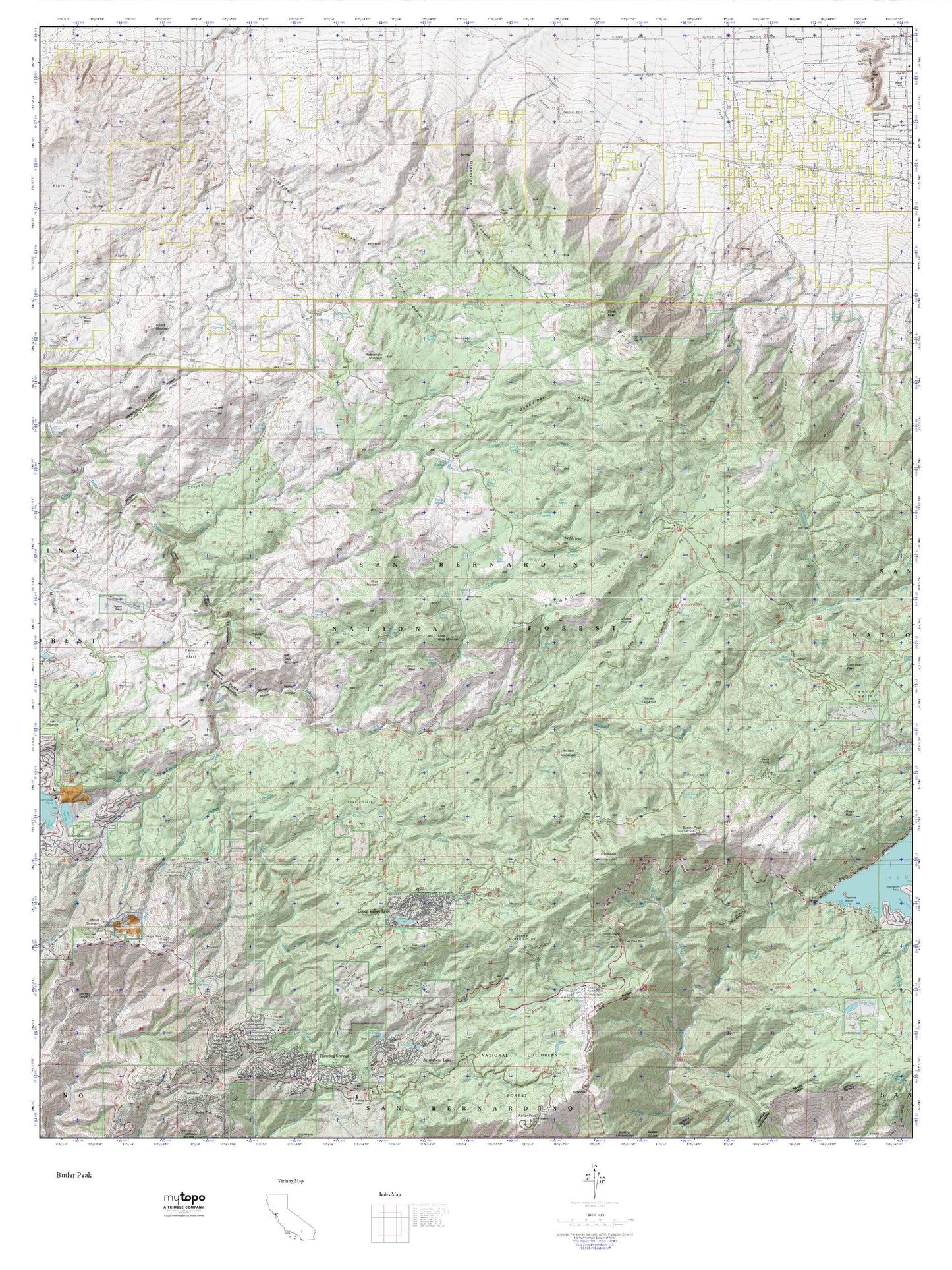
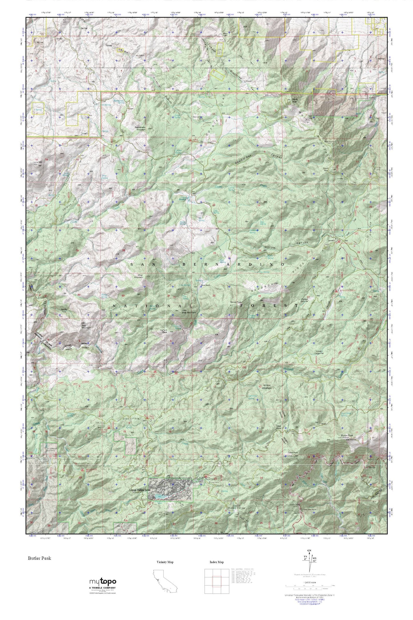
Topographic map of Butler Peak in the state of California. From the MyTopo Explorer Series.
This topo map features shaded relief and comes with UTM / MGRS and Latitude/Longitude grids.
For more than two decades, MyTopo has provided maps to the most adventurous among us.. those who love to explore our nation’s remote wilderness areas, climb our highest peaks, and trek across our vast public lands. This map is part of a curated collection of the most popular places for which MyTopo customers have designed maps. It is a “bucket list” of the most amazing places to hike, hunt, and explore.
This map contains the following named places: Balanced Rock Mine,Barrel Spring,Big Pine Flat,Big Pine Flat Campground,Big Pine Flat Forest Station,Burns Spring,Butler Peak,Butt Rock,Butter Fork,Carbine Flat,Chipmunk Spring,Chukar Spring,Cienega Larga,Cienega Redonda,Cienega Spring,Cox Creek,Cox Spring,Coxey Meadow,Coxey Ranch,Coyote Flat,Crab Creek,Crab Flats,Crafts Peak,Cup Spring,Dawn o'Day Canyon,Deer Mountain,Devils Hole,Dishpan Spring,Fishermans Campground,Green Valley Campground,Hawes Peak,Hawes Ranch,Holcomb Creek,Holcomb Crossing Group Campground,Hopi Spring,Horse Spring,Horse Spring Campground,Ingham Peak,Ironwood Campsite,Jackrabbit Spring,Liberty Mine,Lightning Spring,Line Spring,Little Pine Flat,Little Shay Mountain,Lizard Spring,Lower Larga Flat,Luna Spring,Mill Spring,Mud Spring,Muddy Spring,North Peak,Oak Spring,Pine Spring,Pinon Spring,Rattlesnake Mountain,Rattlesnake Spring,Redonda Ridge,Shake Creek,Shay Mountain,Shay Spring,Sheep Creek,Snake Spring,Snow Slide Spring,South Peak White Mountain,Tent Peg Group,V P Mine,West Point,White Mountain,Willow Canyon