MyTopo
Guadalupe Peak MyTopo Explorer Series Map
Couldn't load pickup availability
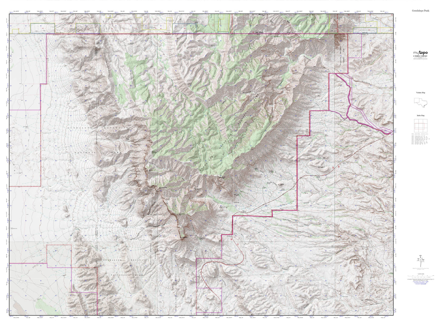
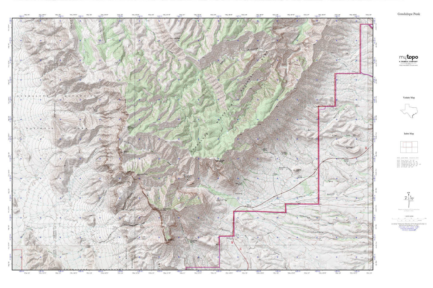
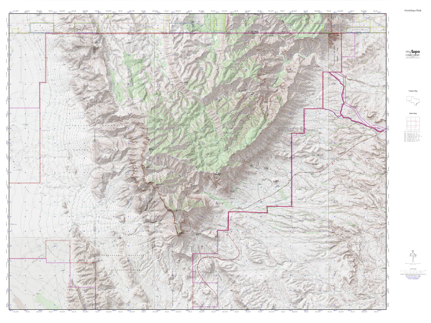
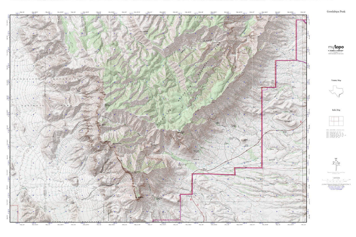
Topographic map of Guadalupe Peak in the state of Texas. From the MyTopo Explorer Series.
This topo map features shaded relief and comes with UTM / MGRS and Latitude/Longitude grids.
For more than two decades, MyTopo has provided maps to the most adventurous among us.. those who love to explore our nation’s remote wilderness areas, climb our highest peaks, and trek across our vast public lands. This map is part of a curated collection of the most popular places for which MyTopo customers have designed maps. It is a “bucket list” of the most amazing places to hike, hunt, and explore.
This map contains the following named places: Bartlett Peak,Blue Ridge,Bone Canyon,Bone Spring,Bowl Trail,Bush Mountain,Bush Mountain Trail,Choza Spring,Devils Hall,El Capitan,El Capitan Trail,Frijole,Frijole Ranch,Goat Spring,Guadalupe Mountains,Guadalupe Mountains National Park,Guadalupe Mountains National Park Fire Department,Guadalupe Mountains Wilderness,Guadalupe Peak,Guadalupe Ranch,Guadalupe Spring,Hunter Peak,Juniper Spring,Kincaid Trail,Manzanita Spring,Marcus Trail,Nipple Hill,P X Flat,Pine Spring,Pine Spring Campground,Pine Spring Canyon,Pine Springs,Pinery,Pinery Station,Pratt Arch,Pure Well,Rader Ridge,Shirttail Canyon,Shumard Canyon,Shumard Peak,Smith Canyon,Smith Spring,Tejas Arch,The Bowl,Upper Pine Spring,Williams Ranch