MyTopo
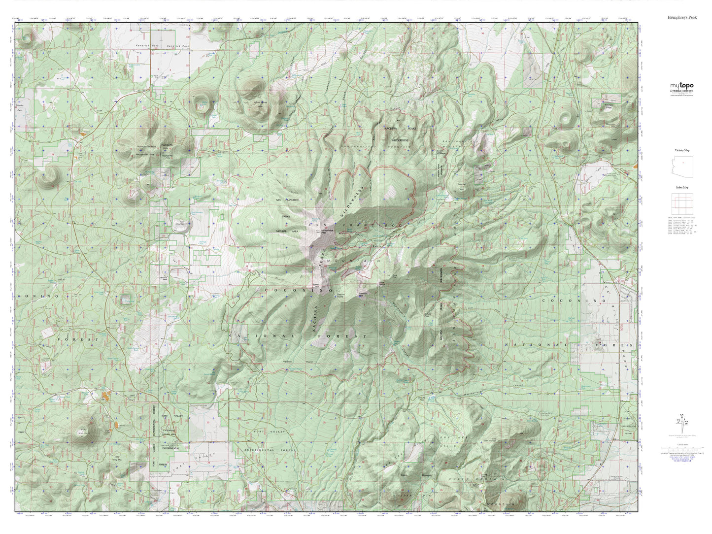
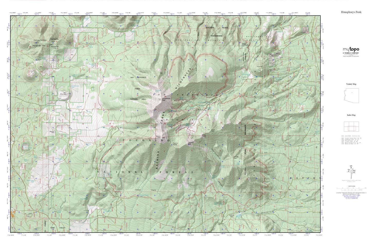
Humphreys Peak MyTopo Explorer Series Map
Couldn't load pickup availability
Topographic map of Humphreys Peak in the state of Arizona. From the MyTopo Explorer Series.
This topo map features shaded relief and comes with UTM / MGRS and Latitude/Longitude grids.
For more than two decades, MyTopo has provided maps to the most adventurous among us.. those who love to explore our nation’s remote wilderness areas, climb our highest peaks, and trek across our vast public lands. This map is part of a curated collection of the most popular places for which MyTopo customers have designed maps. It is a “bucket list” of the most amazing places to hike, hunt, and explore.
This map contains the following named places: 86001,Agassiz Peak,Alfa Fia Tank,Arizona Snow Bowl,Arizona Snow Bowl Campground,Aspen Spring,Aspen Tank,Aubineau Peak,Bear Paw Spring,Beard Canyon,Beard Spring,Big Leroux Spring,Bill Tank,Bismarck Lake,Bunk Tank,Coop Tank,Crater Lake,Domingo Tank,Doyle Peak,Doyle Saddle,Doyle Spring,Fern Mountain,Fern Mountain Tank,Flagstaff Spring,Fort Valley Census Designated Place,Freidlein Prairie,Freidlein Prairie Tank,Fremont Peak,Fremont Saddle,Galinas Tank,Grand Canyon Tank,Hart Prairie,Hart Prairie Tank,High Tank,Hochderffer Hills,Hockderfer Trick Tank,Horchderffer Tank,Hot Shot Headquarters,Humphreys Peak,Inner Basin,Interior Valley,Jack Smith Spring,Jack Smith Spring Number Two,Kachina Peaks Wilderness,Leroux Spring,Lew Tank,Little Horse Tank,Little Leroux Spring,Little Spring,Locket Meadow Tank,Lockett Meadow Spring,Meadow Tank,Michelbach Ranch,Michelbach Tank,One Eight Tank,Orion Spring,Peaks Ranger District,Philomena Spring,Raspberry Spring,Rees Peak,San Francisco Mountain,San Francisco Peaks Natural Area,Schultz Pass,Schultz Peak,Schultz Tank,Snowbowl Ski Area,Snowslide Spring,South Crater Tank,Stagecoach Tank,Sugarloaf Peak,Taylor Spring,Taylor Tank,Viet Spring,Windmill Tank


