MyTopo
Lytle Creek MyTopo Explorer Series Map
Couldn't load pickup availability
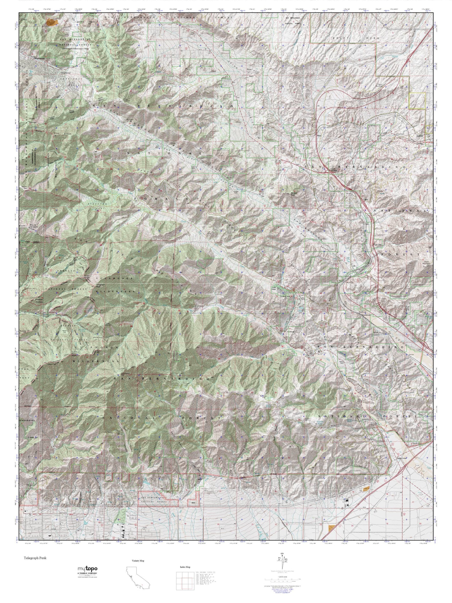
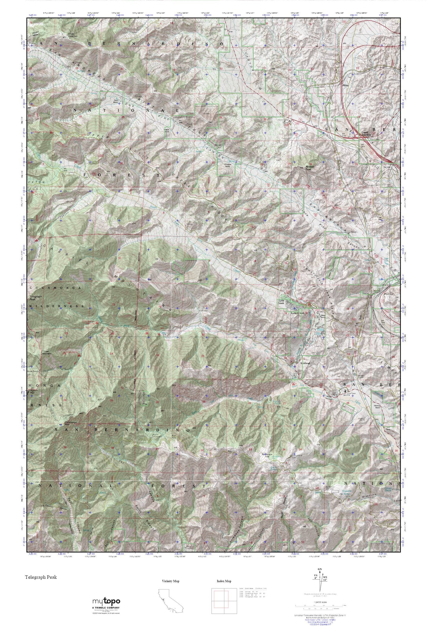
Topographic map of Lytle Creek in the state of California. From the MyTopo Explorer Series.
This topo map features shaded relief and comes with UTM / MGRS and Latitude/Longitude grids.
For more than two decades, MyTopo has provided maps to the most adventurous among us.. those who love to explore our nation’s remote wilderness areas, climb our highest peaks, and trek across our vast public lands. This map is part of a curated collection of the most popular places for which MyTopo customers have designed maps. It is a “bucket list” of the most amazing places to hike, hunt, and explore.
This map contains the following named places: 92358,Alderson Place,Alray,Applewhite Campground,Blue Cut,Bonita Falls,Buck Point,Cajon Junction,Clyde Ranch,Coldwater Canyon,Commanche Camp,Cucamonga Peak,Cucamonga Peak Trail,Dustin Spring,Glenn Ranch,Grapevine Spring,Hitching Ranch,Joe Elliot Tree Memorial,Lower Lytle Creek Ridge,Lytle Creek,Lytle Creek Census Designated Place,Lytle Creek Post Office,Lytle Creek Ranger Station,Middle Fork Lytle Creek,Miller Narrows,Mormon Rocks Forest Service Station,Mount Baldy-Wrightwood Division,Nielson Ranch,North Fork Lytle Creek,Ralston Peak,San Bernardino County Fire Department Station 20 - Lytle Creek,San Bernardino National Forest Cajon Ranger Station - Station 31,San Sevaine Cow Camp,San Sevaine Flats,San Sevaine Lookout,San Sevaine Well,Scotland,Sharpless Ranch,Sheep Creek,South Fork Lytle Creek,Stone House Crossing Campground