MyTopo
Upper Saranac Lake MyTopo Explorer Series Map
Couldn't load pickup availability
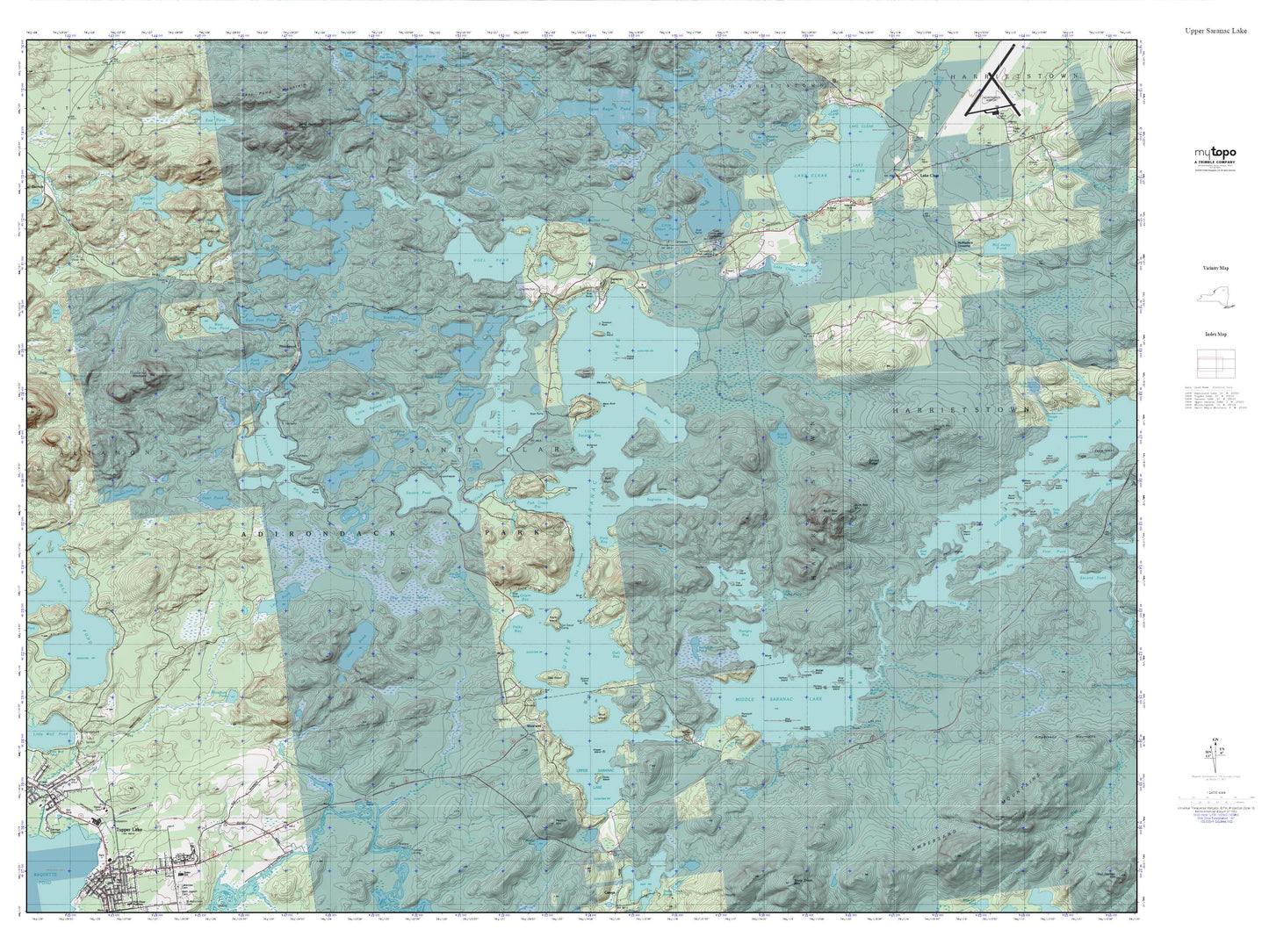
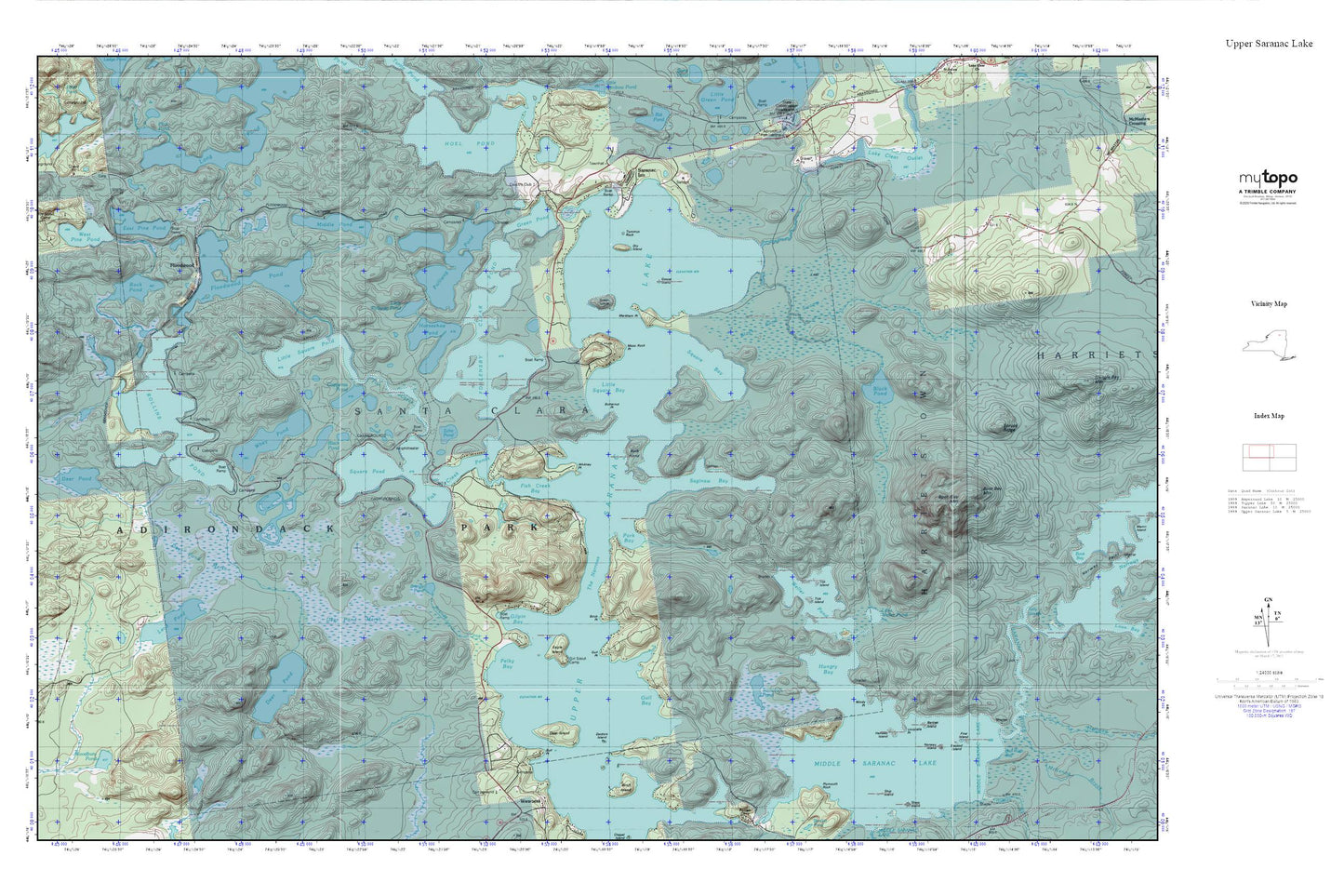
Topographic map of Upper Saranac Lake in the state of New York. From the MyTopo Explorer Series.
This topo map features shaded relief and comes with UTM / MGRS and Latitude/Longitude grids.
For more than two decades, MyTopo has provided maps to the most adventurous among us.. those who love to explore our nation’s remote wilderness areas, climb our highest peaks, and trek across our vast public lands. This map is part of a curated collection of the most popular places for which MyTopo customers have designed maps. It is a “bucket list” of the most amazing places to hike, hunt, and explore.
This map contains the following named places: Bartlett Island,Birch Point,Black Pond,Black Pond Swamp,Boot Bay Mountain,Brandy Brook,Brandy Pond,Buck Island,Bull Point,Butternut Point,Camp Eagle Island,Church of the Ascension,Copperas Pond,Deer Island,Deer Pond,Deer Pond Marsh,Doctors Island,Dry Island,Eagle Island,East Pine Pond,Echo Pond,First Island,Fish Creek,Fish Creek Bay,Fish Creek Ponds,Floodwood,Floodwood Pond,Follensby Clear Pond,Gilpin Bay,Goose Island,Green Island,Green Pond,Gull Bay,Gull Point,Halfway Island,Horseshoe Pond,Hungry Bay,Lake Clear Outlet,Lead Pond,Little Polliwog Pond,Little Square Bay,Little Square Pond,Little Weller Pond,Long Pond,Markham Point,Middle Pond,Middle Saranac Lake,Moss Rock Point,Norway Island,Pelky Bay,Polliwog Pond,Pork Bay,Rock Pond,Rollins Pond,Saginaw Bay,Saranac Inn,Second Island,Square Bay,Square Pond,Tamarack Pond,The Narrows,Tick Island,Tommys Rock,Tot Island,Umbrella Point,Upper Saranac Lake,Weller Pond,West Pine Pond,Whey Pond,Whitney Point,Windy Point,Woodbury Pond